
Browse Archives
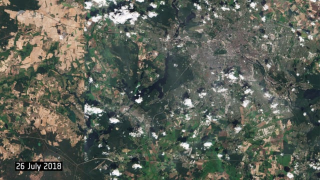
Berlin Battles Heatwave
0 Views0 Comments0 Likes
This year’s heatwave continues to sweep across Europe, with wildfires reported across the continent, as the current heat scorches land and vegetation in countries such as the UK, Sweden and Greece. These two images from the Copernicus Sentinel-2 mission show agricultural fields and land around the capital of Germany, Berlin.
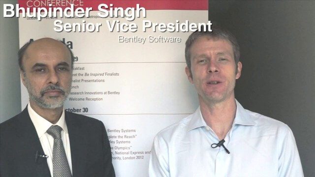
Bhupinder Singh Interview Full Version
0 Views0 Comments0 Likes
Todd Danielson interviews Bhupinder Singh, senior vice president, Bentley Software. They discuss Bentley's "Connected Approach" to software design, how to take advantage of Technology Disruptions, Bentley's engineering approach called "Optioneering," the ProjectWise Construction Work Package Server product, the Bentley Year In Infrastructure Event, and "What's Next?" for Bentley in 2014.
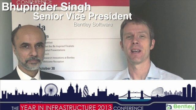
Bhupinder Singh Interview Short Version
0 Views0 Comments0 Likes
A condensed version of Todd Danielson interviewing Bhupinder Singh, senior vice president, Bentley Software. They discuss his role with the company, Bentley's "Connected Approach" to software design, how to Innovate with and take advantage of Technology Disruptions, and Bentley's engineering approach called "Optioneering."

BISAG GUJARAT
0 Views0 Comments0 Likes
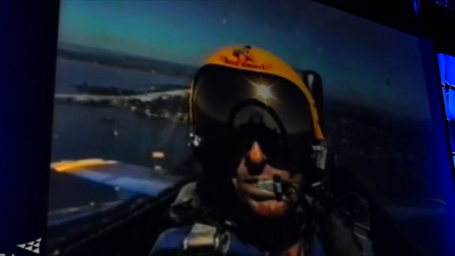
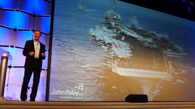
Blue Angels Pilot Delivers Dimensions Keynote (1 of 3)
0 Views0 Comments0 Likes
Greg "Boss" Wooldridge, the only commanding officer to lead the U.S. Navy's Blue Angels for three separate tours, delivered a motivating keynote speech at the Trimble Dimensions 2014 conference in Las Vegas, Nevada.
Blue Angels Pilot Delivers Dimensions Keynote (2 of 3)
0 Views0 Comments0 Likes
Greg "Boss" Wooldridge, the only commanding officer to lead the U.S. Navy's Blue Angels for three separate tours, delivered a motivating keynote speech at the Trimble Dimensions 2014 conference in Las Vegas, Nevada.
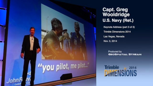
Blue Angels Pilot Delivers Dimensions Keynote (3 of 3)
0 Views0 Comments0 Likes
Greg "Boss" Wooldridge, the only commanding officer to lead the U.S. Navy's Blue Angels for three separate tours, delivered a motivating keynote speech at the Trimble Dimensions 2014 conference in Las Vegas, Nevada.
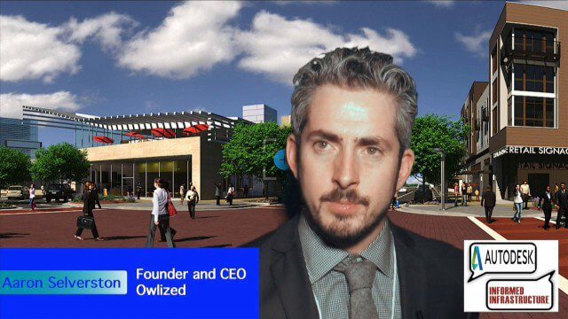
Bringing the Model to the People
0 Views0 Comments0 Likes
Informed Infrastructure spoke with Aaron Selverston, Founder and CEO, Owlized, at Autodesk University 2014 in Las Vegas. The Owl is a virtual reality device that presents a 3-D model of planned changes in the familiar form factor of a coin-operator binocular. Users approach the device and look into a registered model to see how familiar surroundings will evolve. Our conversation touched on the need for a more informative outreach method to guide urban transformation.

Building Climate Resilience: Getting Started
0 Views0 Comments0 Likes
For many Americans, adapting to new climate regimes means developing new expertise. Decision-makers across the nation are using data and tools to reduce their risks and protect their investments from climate. This video explains how you can use the Climate Resilience Toolkit web site to improve resilience.
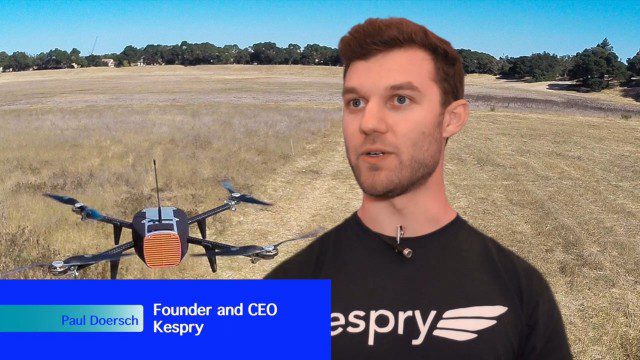
Building Drones for Construction, Surveying and Mining Applications
0 Views0 Comments0 Likes
The V1 Video team spoke to Paul Doersch, founder and CEO of Kespry. We talked about his company’s workflows specific to automating the collection of aerial survey information, including the measurement of aggregate stockpiles and mining resources.


