
Browse Archives
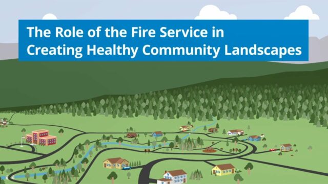
The Role of the Fire Service in Creating Healthy Community Landscapes
0 Views0 Comments0 Likes
The Wildland-Urban Interface is the zone of transition between unoccupied land and human development. It is the line, area, or zone where structures and other human develop meet or intermingle with undeveloped wildlan...
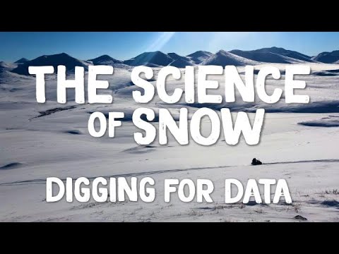
The Science of Snow: Digging for Data
0 Views0 Comments0 Likes
It takes a lot of field work in challenging conditions to gather important snow data. This is the story of NASA’s last SnowEx campaign and those who participated in it. In March, scientists traveled to research sites ...
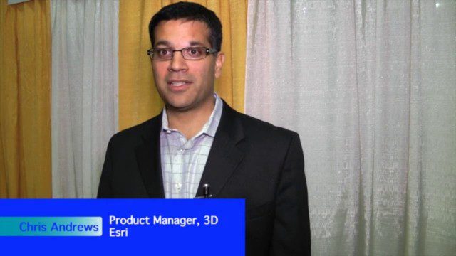
The Unveiling of ArcGIS Earth
0 Views0 Comments0 Likes
The V1 Video team interviewed Chris Andrews, product manager for 3D at Esri, at the GEOINT Symposium in Washington, D.C. We spoke about the new ArcGIS Earth immersive global viewer as well as how 3D is being delivered across Esri’s product line. We spoke about the distinction between desktop and apps, and how an incredible wave of 3D data capture will extend the value of visualization.
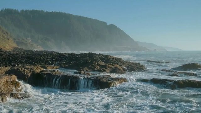
The YEARS Project: Warming Oceans
0 Views0 Comments0 Likes
Scientists have discovered that the world's oceans are warming 40% faster than we thought. That has dire implications for sea creatures and people.

Tim Lemmon and Todd Steiner Interview (Trimble)
0 Views0 Comments0 Likes
Matt Ball interviews Trimble's Tim Lemmon, Marketing Director, Geospatial Software Solutions, and Todd Steiner, Marketing Director, Geospatial Imaging Solutions, at SPAR International in Colorado Springs, Colo. They discuss Trimble's integration between hardware and software so customers can make better business decisions, the changing role of the surveyor, and a variety of new hardware and software products.
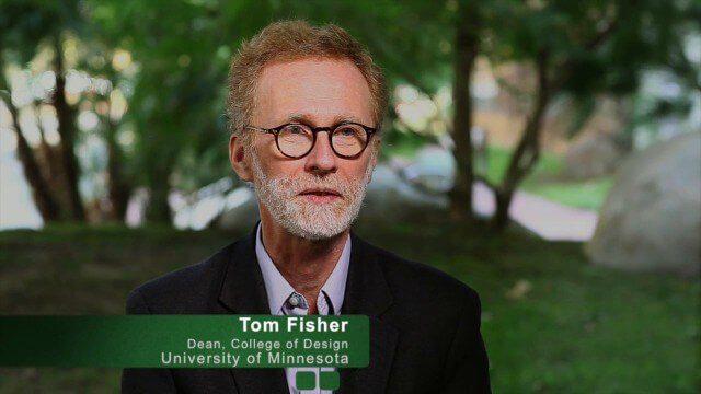
Tom Fisher Witnesses Complete Evolution of Geodesign Summit
0 Views0 Comments0 Likes
Tom Fisher, Dean of the College of Design at the University of Minnesota, emceed and moderated the 2015 Geodesign Summit, and he as attended every summit since its inception. On behalf of V1 Media, Informed Infrastructure and GeoSpatial Stream, Todd Danielson interviewed Fisher at the Geodesign Summit 2015 in Redlands, Calif.
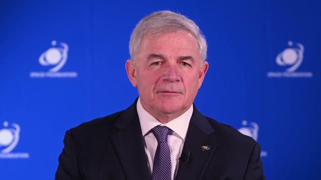
Tom Zelibor State of Space 2022 Abbreviated Remarks
0 Views0 Comments0 Likes
In an annual State of Space 2022 commentary and video, Thomas Zelibor, CEO of Space Foundation, a nonprofit advocate organization founded in 1983 for the global space ecosystem, speaks to business and government lead...
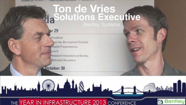
Ton de Vries Interview
0 Views0 Comments0 Likes
Todd Danielson interviews Ton de Vries, solutions executive, Bentley Systems. They talk about 3D City Models, Hypermodeling and the importance of Standards.

Topcon Products Enable Mapping from Ground, Air and Vehicles
0 Views0 Comments0 Likes
Todd Danielson interviews Barbara McInerney, Product Marketing Manager, Topcon GeoPositioning Solutions Group, at the 2014 Esri User Conference in San Diego. They discuss Topcon's GIS and mapping solutions in three main areas: from the ground, from the air and in a vehicle.
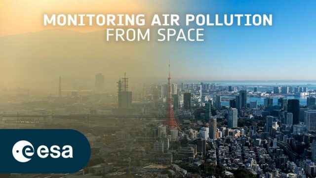
Toward the Next Generation of Air-Quality Monitoring
0 Views0 Comments0 Likes
Air pollution is the largest environmental health risk in Europe and significantly impacts the health of the European population, particularly in urban areas. Following on from the Sentinel-5P satellite – the first...


