
Browse Archives
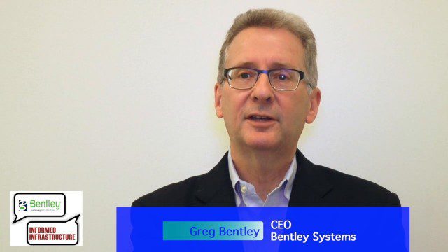
Greg Bentley: Extending the Intelligent Model
0 Views0 Comments0 Likes
Informed Infrastructure spoke to Greg Bentley, CEO of Bentley Systems, at the company’s CONNECTION roadshow kickoff in Philadelphia. We spoke about the company’s announcements at the event as well as their continued extension of intelligent modeling to better-performing assets and projects.
Gulf of Maine’s Phytoplankton Productivity Down 65%
0 Views0 Comments0 Likes
The Gulf of Maine is growing increasingly warm and salty, due to ocean currents pushing warm water into the gulf from the Northwest Atlantic, according to a new NASA-funded study. These temperature and salinity c...

Happy GIS Day 2019: A Message from Jack Dangermond
0 Views0 Comments0 Likes
Jack Dangermond wishes the world a happy GIS Day 2019. Jack thanks all the event organizers and participants and explains the importance of their events in this 20th year celebration of GIS.
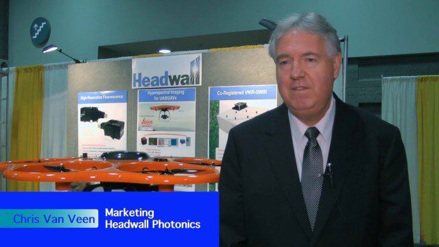
Harnessing a New Set of Hyperspectral Eyes
0 Views0 Comments0 Likes
The V1 Video team interviewed Chris Van Veen, who handles marketing for Headwall Photonics, at the GEOINT Symposium in Washington, D.C. The company focuses on hyperspectral imaging to discern details and features such as vegetation health. The company is now deploying their sensors on Unmanned Aircraft Systems for cheaper and more-automated sensing and monitoring.
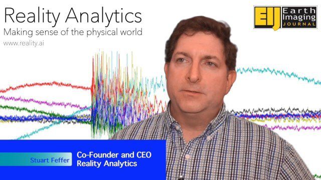
Harnessing Machine Learning to Make Sense of the Physical World
0 Views0 Comments0 Likes
The V1 Video team spoke to Stuart Feffer, co-founder and CEO of Reality Analytics about the company’s application of artificial intelligence and machine learning to sensor inputs. The company has a background in research and development for military customers and they’re now rolling out products and services based on that legacy.
Harris Geospatial’s Geiger-Mode LiDAR Changing Industry
0 Views0 Comments0 Likes
The V1 Video team spoke with Mark Romano, Senior Product Manager, Harris Commercial Geospatial, at the ILMF 2016 event held in Denver in February 2016. He spoke about the major differences between traditional LiDAR and Geiger-Mode LiDAR acquisition and data, Harris acquiring Exelis, and the new types of customers and projects that Geiger-Mode LiDAR allows.

Harris Sensors Monitor Urban Environments
0 Views0 Comments0 Likes
The V1 Video team interviewed Eric Webster, Vice President and General Manager of Environmental Solutions at Harris Corp., at the 32nd Space Symposium held April 11-14, 2016, in Colorado Springs, Colo. He discusses the company's GreenLITE carbon dioxide monitoring system and how it can monitor an entire city, an example of the technology being used in Paris, and the benefits of a multi-sensor platform for environmental analysis.
Harris Tracks and Responds to Earth Observing Transformations
0 Views0 Comments0 Likes
Earth Imaging Journal spoke with Bill Gattle, vice president and general manager of national systems at Harris, with responsibility for space and intel business (commercial and government) as well as geospatial, imagery and Earth-observing technologies. We spoke about sensing, processing and providing actionable information to the marketplace. The accessibility of space, commercialization of sensors and high-powered analytics is transforming the market and expanding the applications and insights.

Hawk Attacks a Drone
0 Views0 Comments0 Likes
A hawk is recorded attacking (and defeating) an aerial drone.

Hello, Darmstadt?
0 Views0 Comments0 Likes
The European Space Operations Centre, ESOC, in Darmstadt, Germany, has served as Europe’s gateway to space for half a century. In 2017, the centre is celebrating its 50th anniversary, highlighting a rich history of achievement in space.


