
Browse Archives
![“Future Earth” [2014 Documentary]](https://geospatialstream.com/wp-content/uploads/2014/09/future-earth-2014-documentary-640x360.jpg)
“Future Earth” [2014 Documentary]
0 Views0 Comments0 Likes
We will try to predict what will happaned in the future: Humanity is at a crossroads, Nearly half of the Amazon rainforest has been deforested, Hi-tech, intelligent buildings are revolutionizing the urban landscape, Smaller, safer, hi-tech automobiles, Major advances in air travel comfort.
“Mapping the Universe” with Daniel Eisenstein
0 Views0 Comments0 Likes
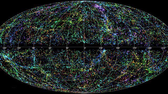
Galaxies are not scattered randomly throughout the universe. Instead, they group into stringy filaments that span hundreds of millions of light-years. How did such structure evolve from the bland primordial soup that followed the Big Bang? New clues are coming from an ambitious mapping project, the Sloan Digital Sky Survey, which has measured the distance to galaxies halfway across the observable universe. Daniel Eisenstein is director of the Sloan Digital Sky Survey III (SDSS-III) and a member of the National Academy of Sciences.

“National Geographic” Time Scanners Jerusalem
0 Views0 Comments0 Likes
1_15 Infrastructure Broadcast (Geodesign Summit, Road Maintenance and More)
0 Views0 Comments0 Likes
This Infrastructure-themed GeoSpatial Stream broadcast discusses the impending road-maintenance crisis worldwide as well as possible new spending initiatives; U.S. DOT grants to strengthen commercial vehicle safety via intelligent transportation systems; a new "drive by" heat-mapping system; industry news from USGIF, Esri, Innovyze and FARO; a video from the 2014 Geodesign Summit in anticipation of this year's event; and more.
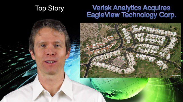
1_16 Acquisitions Broadcast (EagleView Acquired, Universe Explored, Shark Sensors and More)
0 Views0 Comments0 Likes
This GeoSpatial Stream broadcast examines Verisk Analytics' acquisition of EagleView Technology Corp., the size of the universe, Great White Shark sensors, contaminated water maps and more.
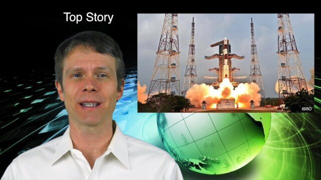
1_21 Asia Pacific Broadcast (GPS Alternatives, Nepal Landslides and More)
0 Views0 Comments0 Likes
This Asia-Pacific-themed GeoSpatial Stream broadcast discusses new alternatives to GPS, including the latest satellite launch for India's budding navigation system; an Australian tool for modeling wind dispersal; Indonesia mapping damaged peatlands; industry news from geoshepherds, Ordnance Survey and Esri Indonesia; a study indicating that landslides were less prevalent than expected after the 2015 Nepal earthquake; and more.

1_21 Open Data Broadcast (Value of Open GeoData, Bee Sensors, GPS/Silicon Valley and More)
0 Views1 Comments0 Likes
This GeoSpatial Stream broadcast discusses the need for governments to make geospatial data open, sensors placed on bees to improve pollination, a GPS/Silicon Valley partnership, new avalanche-monitoring software and more.
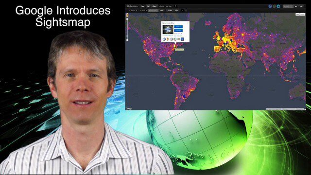
1_23 Commercial Satellite Broadcast (Google Sightsmap, Road Safety Map, Rhino Poaching and More)
0 Views0 Comments0 Likes
This GeoSpatial Stream broadcast investigates the commercial satellite imagery market; Google's Sightsmap; the WHO Road Safety map; Rhino poaching; business dealings of GRAPHISOFT, Trimble, Sputnik Enterprises; and more.
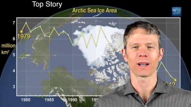
1_28 Climate Change Broadcast (Polar Vortex, China’s Pollution Plumes, Broadband Mapping and More)
0 Views0 Comments0 Likes
This GeoSpatial Stream broadcast examines the latest effects of Climate Change on the Polar Vortex; China's pollution plumes monitored from space; Kids Making Sense; broadband mapping; the latest announcements from Boundless, Cityworks, Fugro Pelagos and Blue Marble Geographics; and more.
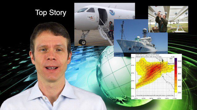
1_29 Climate Change Broadcast (CalWater 2015, USGS News and More)
0 Views0 Comments0 Likes
This GeoSpatial Stream broadcast discusses NOAA's CalWater 2015 project; USGS' new Groundwater Toolbox; industry news from Esri, Bentley Systems, URISA, MDA Information Systems and PCI Geomatics; a video from the 2014 Geodesign Summit; and more.


