
Browse Archives

Urban Heat Risk Explorer
0 Views0 Comments0 Likes
Helping cities prepare for, respond to, and recover from extreme heat events, the app provides users with a better understanding of heat risks in cities and communicates with users on ways they can protect themselves during extreme heat events.
Using Drones to Provide Insight for Disaster Recovery
0 Views0 Comments0 Likes
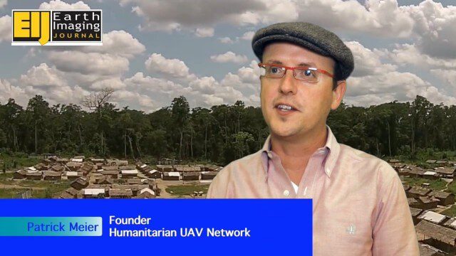
The V1 Video team spoke to Patrick Meier at the Commercial UAV Expo. Meier is a thought leader on humanitarian technology and innovation as well as founder of the Humanitarian UAV Network (UAViators), which has worked in the Philippines to help in the recovery of Cyclone Pam and in Nepal for response to the recent earthquake. We talked about the growing utility of UAVs as well as the use of automation and crowdsourcing to reduce the time and burden of analysis.
David Early Discusses Smart Growth at Geodesign Summit
0 Views2 Comments0 Likes
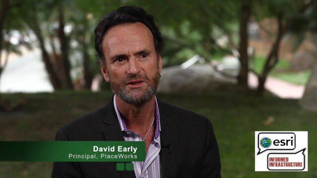
David Early, principal at PlaceWorks, is a renowned expert on smart growth. For more than 25 years, he has worked with communities and helped numerous clients prepare successful grant applications to help fund long-range planning efforts. On behalf of V1 Media, Informed Infrastructure and GeoSpatial Stream, Todd Danielson interviewed Early at the Geodesign Summit 2015 in Redlands, Calif.
Europe’s Next Big Rocket In a Nutshell
0 Views0 Comments0 Likes
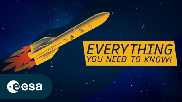
Ariane 6 is the newest rocket in a series that has, for five decades, been launching Europe towards the stars. Building on all the knowledge, expertise and technology developed over the years, Ariane 6 will be versati...
NASA | Earth from Orbit 2013
0 Views0 Comments0 Likes
A fleet of orbiting satellites monitors Earth constantly. The satellites from NASA and other space agencies give us a fresh, wide perspective on things that we can see from the ground -- and things that we can't.
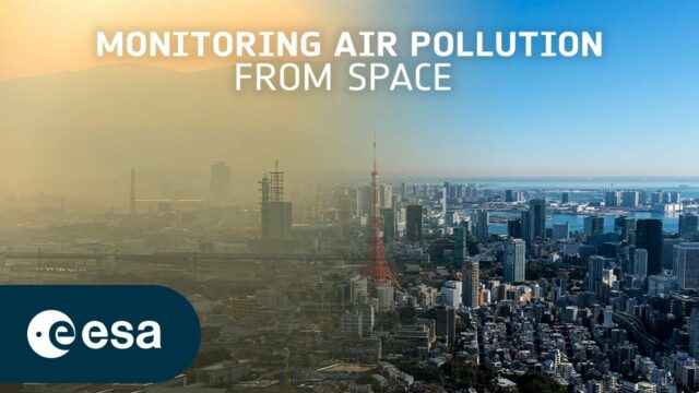
Toward the Next Generation of Air-Quality Monitoring
0 Views0 Comments0 Likes
Air pollution is the largest environmental health risk in Europe and significantly impacts the health of the European population, particularly in urban areas. Following on from the Sentinel-5P satellite – the first...
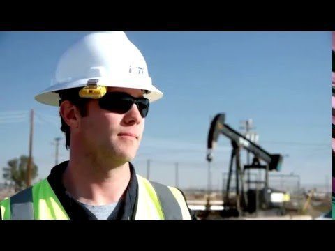
Unmanned Flights Take to San Joaquin Valley Skies
0 Views0 Comments0 Likes
In the San Joaquin Valley, Chevron launched unmanned aerial systems above its Coalinga Field to capture high-resolution and thermal imagery as part of a pilot project to incorporate the technology in its day-to-day field operations.
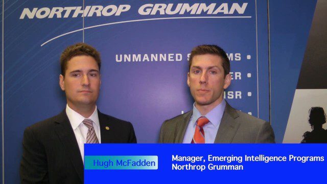
Decision Advantage through Data Analysis
0 Views0 Comments0 Likes
The V1 Video team interviewed Hugh McFadden, manager of Emerging Intelligence Programs, and Stephen Ryan, senior mission engineer with the Intelligence, Surveillance and Reconnaissance Division, both at Northrop Grumman, at the GEOINT Symposium in Washington, D.C. The pair work closely together on solutions to enhance intelligence gathering focused on threats. We discussed automation vs. human cognitive reasoning as well as conditioning sensor information—exploiting and integrating their inputs.
Arctic Report Card 2018
0 Views0 Comments0 Likes
Arctic Report Card: Update for 2018 - Tracking recent environmental changes, with 14 essays prepared by an international team of 81 scientists from 12 different countries and an independent peer-review organized by th...
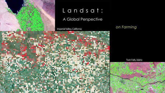
NASA | Landsat’s Global Perspective
0 Views0 Comments0 Likes
On July 23rd, 1972, the first Landsat spacecraft launched into orbit. At the time, it was called "Earth Resources Technology Satellite," or ERTS, and was the first satellite to use a scanning spectrophotometer. Previous satellites relied on film cameras (ejecting the exposed film to be caught by planes) or transmitted the signal from television cameras. The scanning sensor and its successor sensors on subsequent Landsat satellites revolutionized how we study our home planet. Celebrating this anniversary, this video is a "greatest hits" montage of Landsat data. Throughout the decades, Landsat satellites have given us a detailed view of the changes to Earth's land surface. By collecting data in multiple wavelength regions, including thermal infrared wavelengths, the Landsat fleet has allowed us to study natural disasters, urban change, water quality and water usage, agriculture development, glaciers and ice sheets, and forest health.


