
Browse Archives
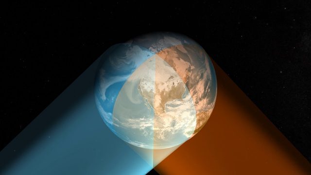
Geostationary Operational Environmental Satellite (GOES) East and West
0 Views0 Comments0 Likes
NOAA maintains a two-satellite Geostationary Operational Environmental Satellite (GOES) constellation to watch over the Western Hemisphere.
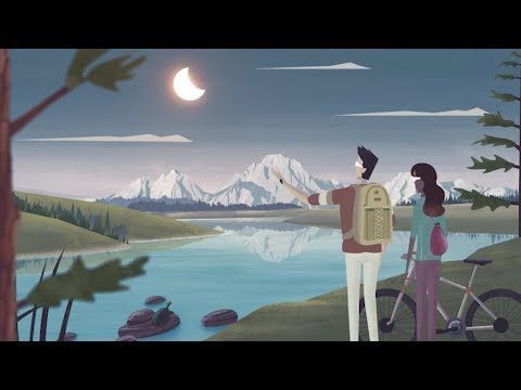
Get Ready for the 2017 Solar Eclipse
0 Views0 Comments0 Likes
On Monday, August 21, 2017, our nation will be treated to a total eclipse of the sun.
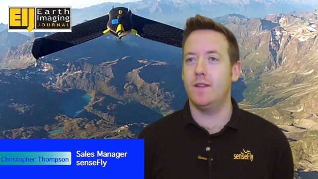
Getting Accurate Results Quickly and Cheaply with Unmanned Aircraft
0 Views0 Comments0 Likes
The V1 Video team spoke to Christopher Thompson, the sales manager for senseFly, the manufacturers of fixed-wing and rotary unmanned aircraft systems (UASs) for mapping. We talked about the broad range of applications and some interesting case studies. We also touched on the inspection capabilities of their new eXom rotary platform.
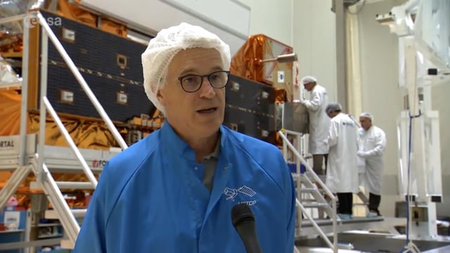
Getting Ready for MetOp-C
0 Views0 Comments0 Likes
The third in the series of MetOp satellites is scheduled for launch on Nov. 7, 2018, from Europe’s spaceport in Kourou.
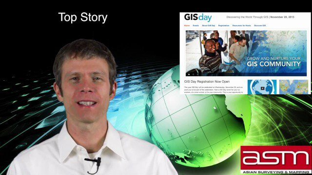
GIS Day Broadcast 11_20 (Free Sentinel imagery, Czech Cadastre, Google Explore and more)
0 Views0 Comments0 Likes
This GeoSpatial Stream celebrates GIS Day, discusses U.S. government initiatives, the decision to release free Sentinel satellite imagery, Czech Cadastre news, Google Explore and more.
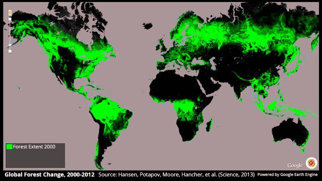
Global Forest Change, 2000-2012
0 Views0 Comments0 Likes
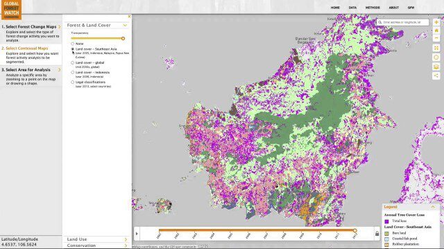
Global Forest Watch Commodities—Geospatial Tools to Help Reduce Greenhouse Gas Emissions from Land-Use Change
0 Views0 Comments0 Likes
This app provides three tools for businesses interested in good forest management: Suitability Mapper, which enables businesses to identify degraded areas best suited for commodity development as an alternative to clearing new forest areas; Forest Analyzer, which provides information on land cover and land use to monitor and evaluate change to forests on commodity concessions; and Roundtable on Sustainable Palm Oil (RSPO) Support tool, which users can complete for an analysis of forest change on certified areas and use the analysis for the compensation procedure required by RSPO while also enabling commodity buyers to make informed sourcing decisions.
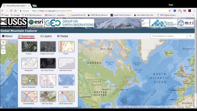
Global Mountain Explorer Video Tutorial
0 Views0 Comments0 Likes
This video contains a narrated introduction to the Global Mountain Explorer (GME), a web-based tool for visualizing and exploring three well known global mountain data layers.
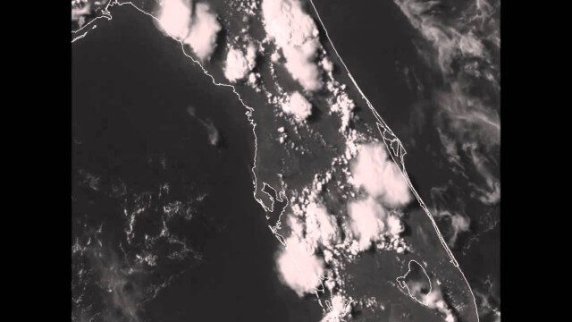
GOES-14 VIS Imagery over Florida
0 Views0 Comments0 Likes

Google Glass Explorer Story: WWF’s Sabita Malla
0 Views0 Comments0 Likes
WWF's Sabita Malla is exploring how Glass can help protect rhinos.


