
Browse Archives
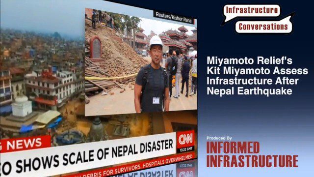
Miyamoto Relief’s Kit Miyamoto Assesses Infrastructure After Nepal Earthquake
0 Views0 Comments0 Likes
Kit Miyamoto, the CEO of Miyamoto International and nonprofit Miyamoto Relief, reports from Khatmandu, Nepal, where he has been assessing the earthquake's damage to local infrastructure.
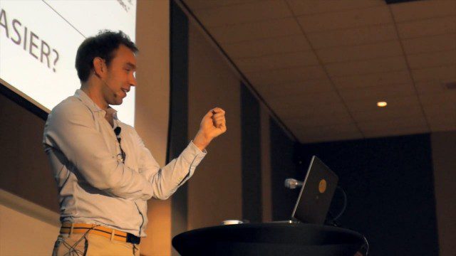
GeCo in the Rockies Keynote Discusses Power of Words for Location
0 Views0 Comments0 Likes
Chris Sheldrick from what3words delivered the keynote address at the GeCo in the Rockies event held Sept. 22-26, 2014, in Grand Junction, Colo. Sheldrick talked about how short combinations of words (three exactly) could be used to pinpoint every location in the world to within nine square meters.

7_23 Esri UC Broadcast (Video Recap, Exhibitor News and More)
0 Views0 Comments0 Likes
This GeoSpatial Stream broadcast covers news and events from the recent Esri User Conference in San Diego, including a video recap of speakers and topics; news from Esri on the Special Achievement in GIS Awards, its Tapestry Segmentation system and a partnership with European Schoolnet; exhibitor news from Topcon Positioning Group, Airbus Defense and Space, LizardTech and Scene Sharp; a clip from an interview with Jack Dangermond, Esri's president and founder; and more.
7_30 Spatial Broadcast (Esri UC Highlights, NASA News and More)
0 Views0 Comments0 Likes
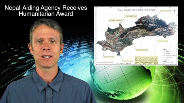
This GeoSpatial Stream broadcast discusses highlights from the Esri User Conference; NASA news from the Kepler mission and a near-Earth-sized planet as well as satellite data noting plankton's effects on clouds and climate; industry news from SAP, Esri, Nepal and LizardTech; thoughts on the Kepler mission and the possibilities of life beyond Earth; and more.
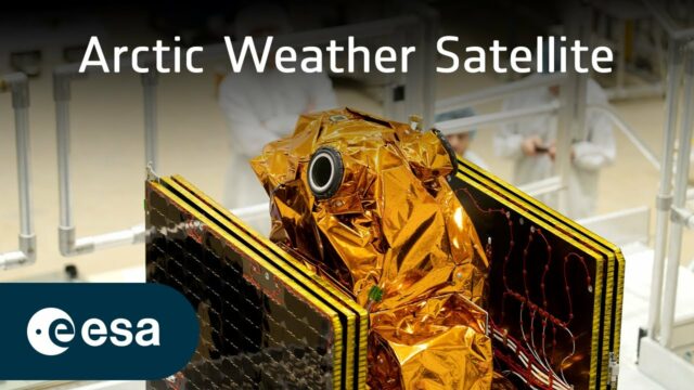
Advancing Weather Forecasting in a Changing Climate
0 Views0 Comments0 Likes
The effects of the climate crisis are felt more acutely in the Arctic than anywhere else on the planet. The weather in the Arctic is not only severe, but it changes extremely quickly. More frequent data are urgently n...
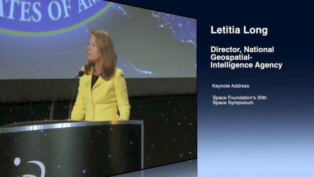
Letitia Long (Director, NGA) Keynote at 30th Space Symposium
0 Views0 Comments0 Likes
Letitia A. Long, Director of the National Geospatial-Intelligence Agency (NGA), delivered an important and powerful keynote address at the 30th Space Symposium in Colorado Springs, Colo., on May 20, 2014. Topics include the future of space programs and the space industry, their roles in intelligence, the changing nature of worldwide threats, and how space-based platforms can help predict new challenges.
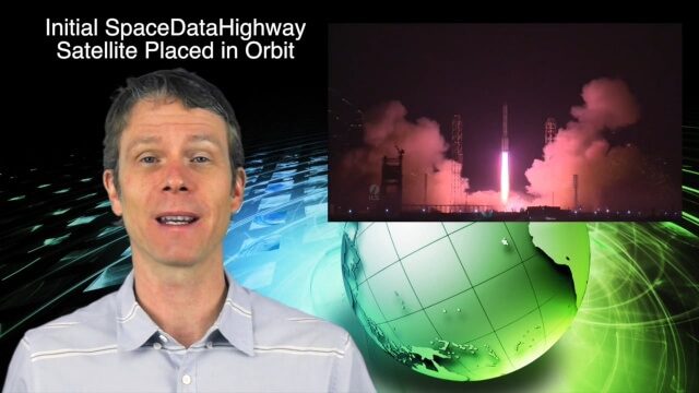
2_3 Earth Imaging Broadcast (El Niño, Satellite Launches and More)
0 Views0 Comments0 Likes
This Earth Imaging-themed GeoSpatial Stream broadcast discusses a crowdsourced effort to monitor coastal erosion in California caused by El Niño; recent satellite launches of Jason-3 for ocean measurements and the first satellite of the SpaceDataHighway; industry news from Aerial MOB, Quantum Spatial, URISA, TerraGo, Eos Positioning, Delair-Tech and SimActive; a video from Peru of vultures being used to monitor garbage; and more.

Jack Dangermond Addresses Climate Change and the Importance of GeoDesign (3 of 4)
0 Views0 Comments0 Likes
In the third of four installments, Todd Danielson interviews Jack Dangermond, President and Founder, Esri, at the 2014 Esri User Conference in San Diego. Jack talks about the Climate Resilience App Challenge, meeting the president and working on climate issues, and the importance of GeoDesign and its growing acceptance and use.

Commercial UAV Expo Video
0 Views0 Comments0 Likes
This video promotes the upcoming Commercial UAV Expo being held in Las Vegas in October 2015.
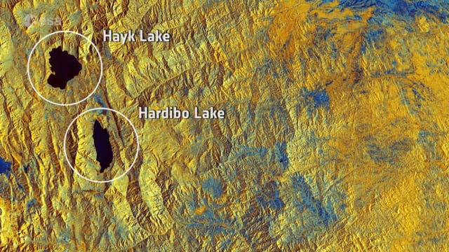
Earth from Space: Northeast Ethiopia
0 Views0 Comments0 Likes
In this week's Earth from Space from the ESA Web TV studios, the Copernicus Sentinel-1B satellite takes us over Northeast Ethiopia.


