
Browse Archives
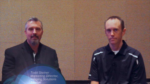
Trimble Dimensions Interview: Todd Steiner and Tim Lemmon
0 Views0 Comments0 Likes
At Trimble Dimensions 2014 in Las Vegas, V1 Media's Todd Danielson interviews Trimble's Todd Steiner, Marketing Director for Imaging Solutions, and Tim Lemmon, Office Software Director for Geospatial. They discuss Trimble's core history of surveying and GPS products; new visualization and imaging tools; software geared toward a variety of geospatial vertical markets; the evolving role of the surveyor; and more.
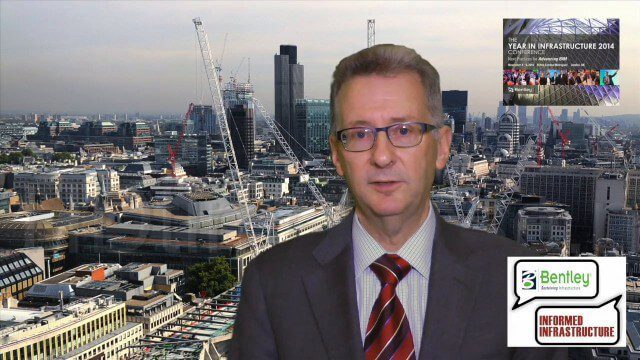
A CEO’s Perspective on the Year in Infrastructure: Greg Bentley, CEO, Bentley Systems
0 Views0 Comments0 Likes
The Year in Infrastructure event, which includes the Be Inspired Awards, is a unique event that brings together leading infrastructure companies from around the globe to showcase projects and process improvement. Informed Infrastructure spoke with Greg Bentley, CEO of Bentley Systems, about the evolving role of "software at your service." We spoke about engineering as an outcome-based service, the Chinese adoption of BIM technology, the UK government's commitment to BIM, and improved process outcomes.
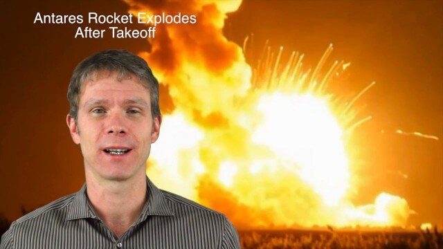
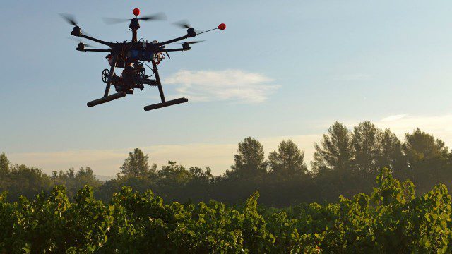
11_20 Earth Imaging Broadcast (Carbon Dioxide Modeling, GIS Day and More)
0 Views0 Comments0 Likes
This GeoSpatial Stream broadcast discusses Earth Imaging news and videos, including a supercomputer animation on carbon dioxide; the USGS William T. Pecora Award; the recent Antares rocket explosion; thoughts on Big Data from the European Space Agency; industry news from VineView SAI, SkySquirrel Technologies and DigitalGlobe; GIS Day; and more.

NASA: A Year in the Life of Earth’s CO2
0 Views0 Comments0 Likes
An ultra-high-resolution NASA computer model has given scientists a stunning new look at how carbon dioxide in the atmosphere travels around the globe.
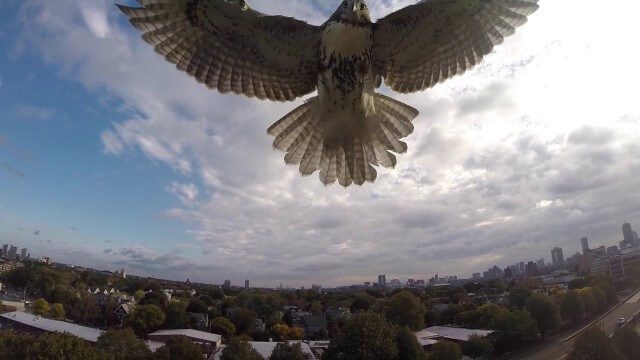
Hawk Attacks a Drone
0 Views0 Comments0 Likes
A hawk is recorded attacking (and defeating) an aerial drone.
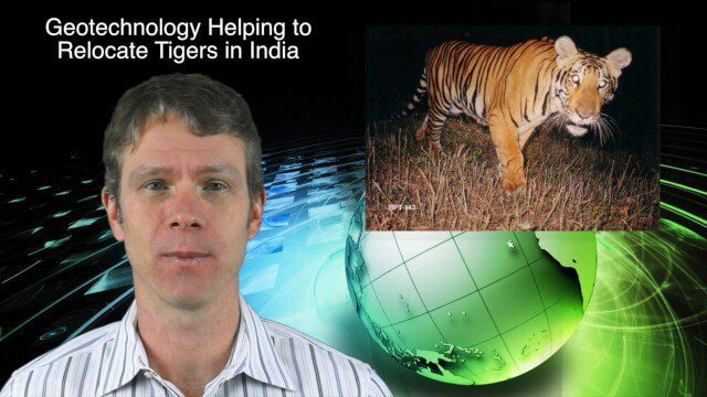
11_26 Asia-Pacific Broadcast (Gaofen-23, Hokkaido Map and More)
0 Views0 Comments0 Likes
This Asia-Pacific-focused GeoSpatial Stream broadcast discusses the recently launched Chinese Gaofen-23 remote-sensing satellite; researchers in India finding and relocating tigers; a new map of disputed territories off the coast of Hokkaido; Brisbane GIS Day, the largest GIS Day event in the world; the Locate 15 Conference; an Esri Australia contract with the Australian Department of Defence; a video about UN's FAO using geospatial technology; and more.
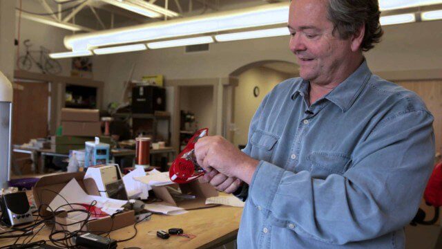
Maker Trailer: A Documentary on the Maker Movement
0 Views0 Comments0 Likes
"Maker" is a feature-length documentary that looks into the current maker movement in America -- a new wave of Do-It-Yourself and Do-It-Together fueled by passion and powered by the advent of new technologies. The "Maker Movement", sometimes called the "Third Industrial Revolution," subverts traditional manufacturing by building on innovative concepts such as open source, local manufacturing, crowd funding, and digital fabrication. Breaking the hobbyist movement stereotype, "Maker" delves deep into this ecosystem of design and manufacturing in the Internet era. The film explores the ideas, tools, and personalities that are driving the Maker Movement -- and returns with a timely snapshot of one of the transforming influences of the current age.
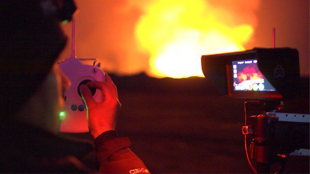
Drones Capture Images of Erupting Iceland Volcano, Part 1
0 Views0 Comments0 Likes
DJI's first video in a series called "DJI Feats" takes you to the remote wilderness of an erupting Icelandic volcano, where Phantom 2 quadcopters are used to capture viewpoints of an exploding magma caldera too dangerous to be approached by manned aircraft.
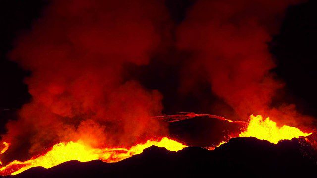
Drones Capture Images of Erupting Iceland Volcano, Part 2
0 Views0 Comments0 Likes
A companion piece to the first DJI Feat, which takes viewers on a journey close to the active lava eruptions of the Bardarbunga volcanic system in remote Iceland. Footage was captured with DJI Phantom 2 quadcopters using Lightbridge for wireless, high-definition remote video.
Drones for Good (HP)
0 Views0 Comments0 Likes
Most people associate drones with the military - an invasive eagle eye hovering from above. What many people don't realize, however, is the tremendous good drones can do. Information from drones can be used for valuable data collection, telling us things we can't see from the ground and helping countries and communities after natural disasters. A drone can spot structural damage, road blocks, and even save human lives. To learn more about using drones for social good and how technology is revolutionizing all means of transportation.


