
Browse Archives
The Last Ice Trailer
0 Views0 Comments0 Likes
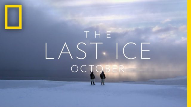
THE LAST ICE tells the story of the Inuit communities fighting to protect the disappearing Arctic that has been their home for centuries. From National Geographic Pristine Seas, THE LAST ICE premieres on National Geographic Channel this October.

GEO Looking to Increase Partnerships with the Private Sector
0 Views0 Comments0 Likes
Matt Ball interviews Barbara Ryan, Director, Group on Earth Observations (GEO) Secretariat, at the 2014 Esri User Conference in San Diego. Ryan discusses her role at GEO; a key meeting in Geneva, Switzerland; the next 10 years at the organization; and its growth in partnering with the private sector.

Kleinfelder Interview – Danny Bennett, Construction Quality Assurance Manager
0 Views0 Comments0 Likes
Informed Infrastructure spoke with Danny Bennett, Construction Quality Assurance Manager, at the opening of Kleinfelder’s new office in downtown Denver. Danny has been involved in the Light Rail project in Denver for the last four years and was also involved in the highway-widening project known as T-Rex. The conversation talked about the RTD Light Rail as the largest public-private partnership in the United States.
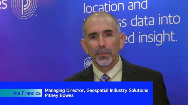
Integrating Geospatial Technology with Business Intelligence
0 Views0 Comments0 Likes
The V1 Video team interviewed Joe Francica, managing director, Geospatial Industry Solutions at Pitney Bowes, at the GEOINT Symposium in Washington, D.C. We spoke about the launch of MapInfo Pro Raster that uses new Multi-Resolution Raster technology to enable fast processing, visualization and analysis of large high-resolution imagery datasets. We also spoke about the MapInfo Pro 64 bit, which speeds up productivity.
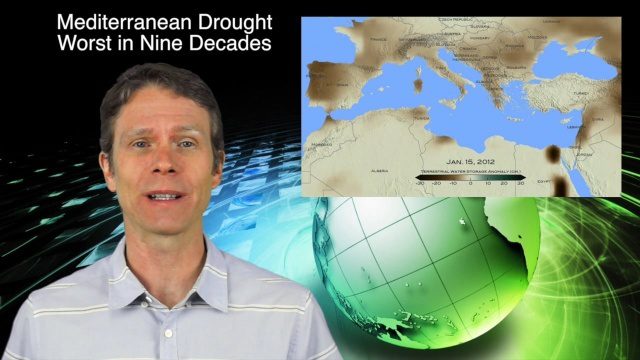
3_24 Climate Change Broadcast (Forest Recovery, Drought and More)
0 Views0 Comments0 Likes
This GeoSpatial Stream broadcast discusses several aspects of climate change, including how forests help regulate the environment and two studies that indicate recent regrowth; a USGS-led working group on ecological drought; surprisingly high levels of a banned ozone-depleting chemical; the largest Mediterranean drought in 900 years; industry news from TerraGo, Mapillary and Esri; a NASA video of one of its forest-monitoring projects; and more.
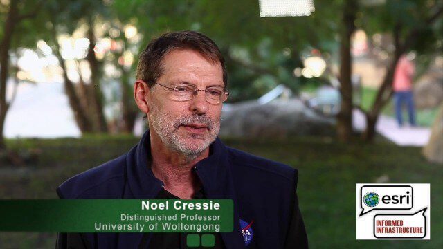
Noel Cressie Talks Spatial Statistics at the Geodesign Summit
0 Views0 Comments0 Likes
Noel Cressie is a Distinguished Professor, National Institute for Applied Statistics Research Australia (NIASRA), University of Wollongong, Australia. He delivered the keynote speech at the Geodesign Summit 2015 in Redlands, Calif., discussing spatial statistics and their role in modern analysis and design. On behalf of V1 Media, Informed Infrastructure and GeoSpatial Stream, Todd Danielson interviewed Cressie at the Summit.

Smart Mapping from Esri
0 Views0 Comments0 Likes
Smart Mapping is an exciting new capability in ArcGIS Online that will change how you make maps.
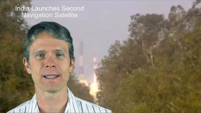
4_28 Asia-Pacific Broadcast (Great Barrier Reef, Asian Satellites, CityNext and More)
0 Views0 Comments0 Likes
This Asia-Pacific-focused GeoSpatial Stream broadcast discusses a new way to monitor the Great Barrier Reef from space, GLONASS updates, a new Indian navigation satellite, CityNext in Surat, the latest industry headlines, and more.
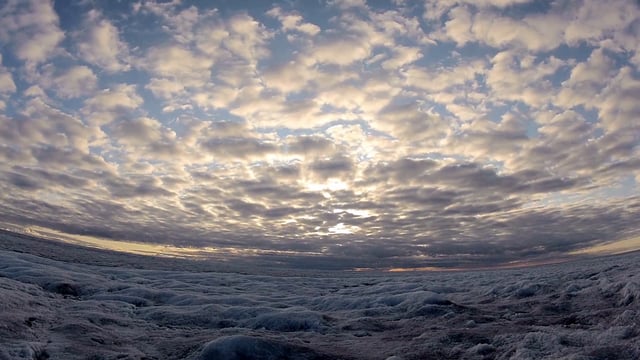
SWIPA 2017: Snow, Water, Ice and Permafrost in the Arctic
0 Views0 Comments0 Likes
A video summarizes information products and materials presenting the results of the 2017 Snow, Water, Ice and Permafrost in the Arctic (SWIPA) assessment coordinated by the Arctic Monitoring and Assessment Programme (AMAP).

6_30 Drones and GIS Broadcast (FAA Rule, Esri UC and More)
0 Views0 Comments0 Likes
This GeoSpatial Stream broadcast discusses the landmark FAA Rule Part 107 for small UASs/UAVs/drones and its effect on the U.S. economy; highlights from the 37th Esri User Conference in San Diego; industry news from SmarterBetterCities, Trimble, Cadcorp and Esri; an Esri video that opened the recent UC; and more.


