


Category: Found on the Internet
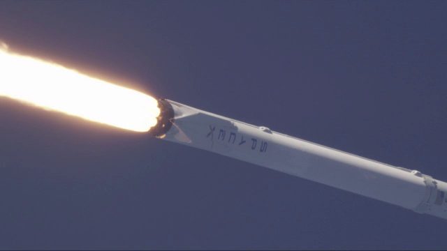
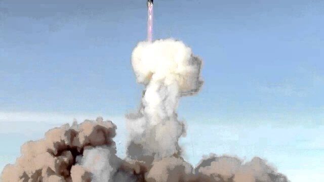
SpaceX Falcon 9 Liftoff with TESS
0 Views0 Comments0 Likes
A Falcon 9 rocket lifts off at 6:51 p.m. EDT from Space Launch Complex 40 at Cape Canaveral Air Force Station carrying NASA's Transiting Exoplanet Survey Satellite (TESS).
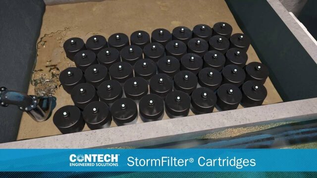
St. Anthony Regional Stormwater Treatment and Research System
0 Views0 Comments0 Likes
An estimated 169 million gallons of polluted stormwater runoff will be captured and treated each year by this underground facility on the border of Minneapolis and St. Anthony Village. It is projected to cut pollution levels by more than half for stormwater runoff flowing from the southern half of St. Anthony Village to the Mississippi River. Learn more at http://mwmo.org/sav
Stanford Researchers Forecast Longer, More Extreme Wildfire Seasons
0 Views0 Comments0 Likes
Study finds that autumn days with extreme fire weather have more than doubled in California since the early 1980s due to climate change. The results could contribute to more effective risk mitigation, land management and resource allocation.
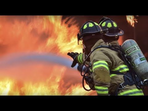
Stanford-Developed Technology Could Help Prevent Wildfires
0 Views0 Comments0 Likes
A new technology developed by Stanford engineers promises a way to prevent a significant percentage of wildfires and drastically reduce the cost of fighting them.
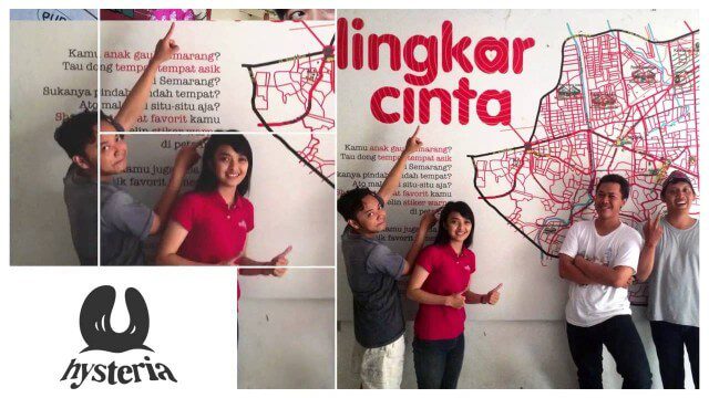
Story of Hysteria, Ushahidi Chapter on Semarang
0 Views0 Comments0 Likes
How an artist collective in Semarang, Indonesia is using Ushahidi to improve citizen participation in government and reshaping our mission.
Successful Dnepr Launch on Nov. 21, 2013
0 Views0 Comments0 Likes
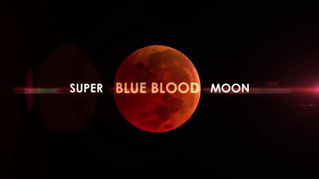
Super Blue Blood Moon and Lunar Eclipse
0 Views0 Comments0 Likes
Jan. 31, 2018, brought a lunar trifecta: the super blue blood Moon! Starting at 5:30 a.m. Eastern, NASA TV offered a livestream of the Moon. This full moon is the third in a series of “supermoons,” when the Moon is closer to Earth in its orbit -- known as perigee -- and about 14 percent brighter than usual.
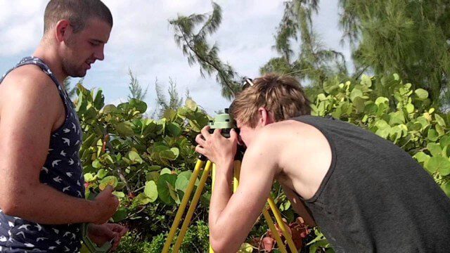
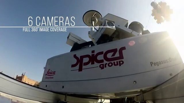
Surveying, Mapping and GIS Expedition to British Virgin Islands
0 Views0 Comments0 Likes

Surveying, Mapping and GIS Expedition to British Virgin Islands
0 Views0 Comments0 Likes
Surveying, Mapping and GIS Expedition to British Virgin Islands


