
Browse Archives
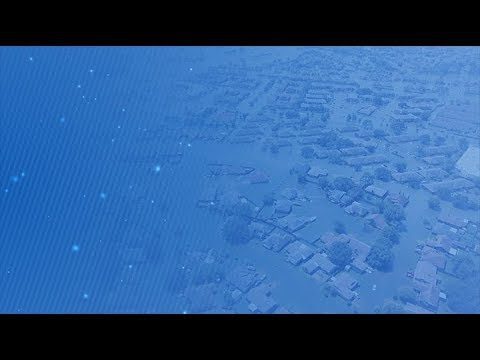
Five Years of GPM Storms
0 Views0 Comments0 Likes
On Feb. 27, 2019, we celebrated five years in orbit for the NASA/JAXA Global Precipitation Measurement mission (GPM).

PEACE on Earth GPS Art
0 Views0 Comments0 Likes
I traveled over 65,700 miles to meet people from all around the world to help me create a GPS drawing that would express a simple message. This is my journey.
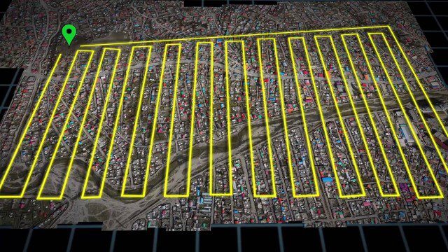
UAV-Based Aerial Mapping of Ulaanbaatar
0 Views0 Comments0 Likes
Working with the City of Ulaanbaatar, The Asia Foundation collected high-quality imagery and elevation data for the city using Unmanned Aerial Vehicles (UAVs) and earth-imaging satellites. These high-resolution images were used to create detailed maps complete with elevation data; labeled neighborhoods, roads, buildings, landmarks, and other features.
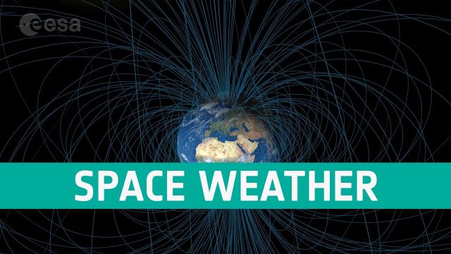
Space Weather Could Be Worse in the North
0 Views0 Comments0 Likes
Instead of a symmetrical distribution of energy between the northern and southern hemispheres through the year, scientists have used data from ESA’s Swarm mission, to discover that electromagnetic energy is preferentially channelled to the northern hemisphere.
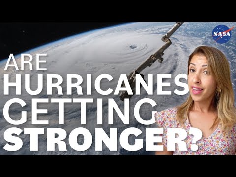
Are Hurricanes Getting Stronger? We Asked a NASA Scientist
0 Views0 Comments0 Likes
Are hurricanes getting stronger? Although we’ll never see a Category 6 hurricane, data does show that more hurricanes are becoming more severe. Hurricane and climate expert Mara Cordero-Fuentes of NASA's Goddard Space...
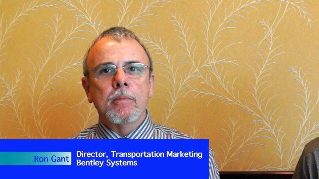
Bentley’s Ron Gant Discusses Roads and Recent Acquisitions
0 Views0 Comments0 Likes
Ron Gant is the Director of Transportation Marketing at Bentley Systems, and he spoke with V1 Media's Todd Danielson at SPAR International, which was held March 30-April 2, 2015, in Houston, Texas. They discussed the transportation industry and Bentley's role there, asset management, Bentley's acquisition of Acute3D, the value of hosting an event in Houston, and more.
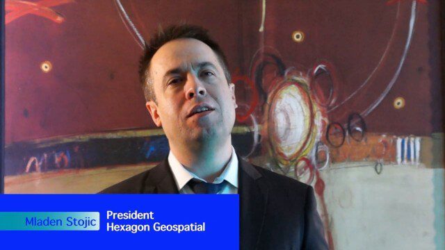
Hexagon Geospatial Unveils Cloud Strategy
0 Views0 Comments0 Likes
V1 Media and GeoSpatial Stream attended HxGN Live, Hexagon's annual user conference, at the MGM Grand in Las Vegas from June 1-4, 2015. They interviewed Mladen Stojic, President of Hexagon Geospatial, who discussed the evolution of geospatial data and introduced the company's three-pronged strategy for cloud implementation.

Jack Dangermond Addresses Climate Change and the Importance of GeoDesign (3 of 4)
0 Views0 Comments0 Likes
In the third of four installments, Todd Danielson interviews Jack Dangermond, President and Founder, Esri, at the 2014 Esri User Conference in San Diego. Jack talks about the Climate Resilience App Challenge, meeting the president and working on climate issues, and the importance of GeoDesign and its growing acceptance and use.
ScienceCasts: Riding the Slingshot to Bennu
0 Views0 Comments0 Likes
Gravity’s pull is being used to help propel a small spacecraft known as OSIRIS-REx to a near-Earth asteroid called Bennu.
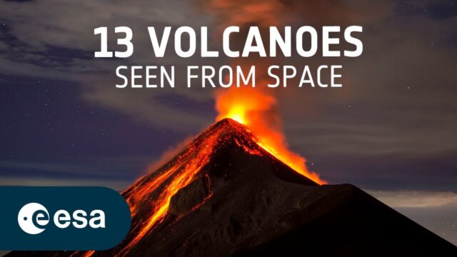
13 Volcanoes Seen from Space
0 Views0 Comments0 Likes
Have you ever wondered what a volcano looks like from space? This video counts down ESA's picks of the most impressive volcanoes around the world – captured by satellites, including Mount Fuji, Mount Mayon and Mount V...


