
Browse Archives
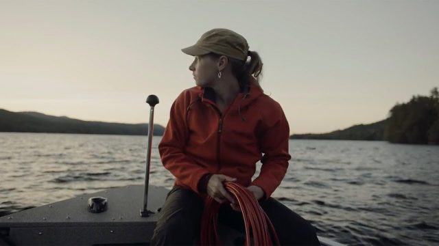
Jefferson Project Year Five
776 Views0 Comments0 Likes
The Jefferson Project is a sophisticated technological approach to studying fresh water, with a goal of understanding the impact of human activity on fresh water, and how to mitigate those effects.

Happy GIS Day 2019: A Message from Jack Dangermond
837 Views0 Comments0 Likes
Jack Dangermond wishes the world a happy GIS Day 2019. Jack thanks all the event organizers and participants and explains the importance of their events in this 20th year celebration of GIS.

Google Glass Explorer Story: WWF’s Sabita Malla
2.58K Views0 Comments0 Likes
WWF's Sabita Malla is exploring how Glass can help protect rhinos.
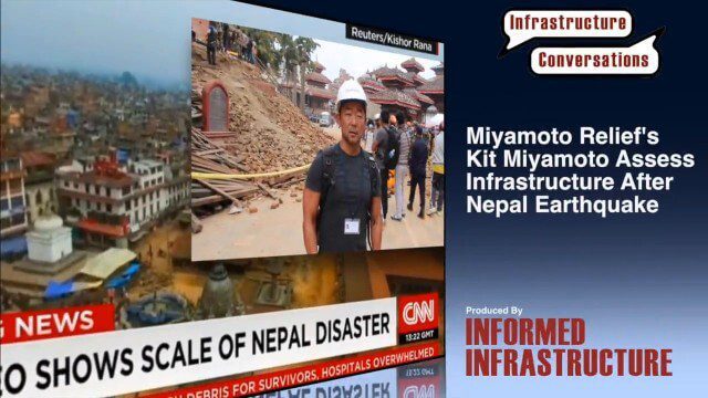
Miyamoto Relief’s Kit Miyamoto Assesses Infrastructure After Nepal Earthquake
3.00K Views0 Comments0 Likes
Kit Miyamoto, the CEO of Miyamoto International and nonprofit Miyamoto Relief, reports from Khatmandu, Nepal, where he has been assessing the earthquake's damage to local infrastructure.

FCC Geographer Byrne Receives Medal for National Broadband Map
2.60K Views0 Comments0 Likes
As the FCC’s geographic information officer, Michael Byrne helped create online maps and present data in ways that have made enormous amounts of information instantly available to consumers, citizen-activists and policymakers, and provided the business community with facts to make more informed commercial decisions.

6_12 HxGN LIVE Broadcast (Conference Recap, NASA News and More)
3.66K Views0 Comments0 Likes
This GeoSpatial Stream broadcast includes a recap of the recent HxGN LIVE conference in Las Vegas, and discusses NASA's upcoming carbon dioxide satellite; a deadly and massive Colorado mudslide; industry news from Skybox Imaging and Google, Sokkia, and Esri; Google's Tango Project; and more.
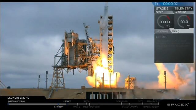
Liftoff of SpaceX CRS-10
4.88K Views0 Comments0 Likes
The SpaceX Falcon 9 rocket launches from Launch Complex 39A at Kennedy Space Center in Florida. The launch vehicle is carrying a Dragon spacecraft on SpaceX CRS-10, the company's tenth commercial resupply services mission to deliver cargo to the International Space Station.
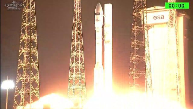
Arianespace Successfully Launches Sentinel-2B
5.95K Views0 Comments0 Likes
Arianespace has successfully launched the Sentinel-2B satellite for the European Commission within the scope of a contract with the European Space Agency (ESA).
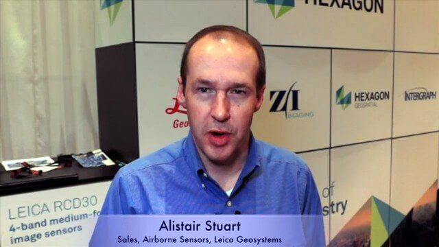
Alistair Stuart, Leica Geosystems, Interview
4.58K Views0 Comments0 Likes
Matt Ball interviews Alistair Stuart, sales of Airborne Sensors, Leica Geosystems. They discuss Leica's recent purchase of Aibotix and its Aibot X6 hexacopter. Stuart discusses the advantages of the UAS compared to other imagery vehicles in terms of cost, safety and portability.
CubeSat to Test Miniaturized Weather Satellite
2.99K Views0 Comments0 Likes
Behind every weather forecast—from your local, five-day prediction to a late-breaking hurricane track update—are the satellites that make them possible.


