
Browse Archives
NASA | Landsat’s Global Perspective
0 Views0 Comments0 Likes
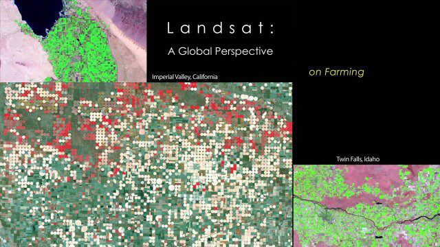
On July 23rd, 1972, the first Landsat spacecraft launched into orbit. At the time, it was called "Earth Resources Technology Satellite," or ERTS, and was the first satellite to use a scanning spectrophotometer. Previous satellites relied on film cameras (ejecting the exposed film to be caught by planes) or transmitted the signal from television cameras. The scanning sensor and its successor sensors on subsequent Landsat satellites revolutionized how we study our home planet. Celebrating this anniversary, this video is a "greatest hits" montage of Landsat data. Throughout the decades, Landsat satellites have given us a detailed view of the changes to Earth's land surface. By collecting data in multiple wavelength regions, including thermal infrared wavelengths, the Landsat fleet has allowed us to study natural disasters, urban change, water quality and water usage, agriculture development, glaciers and ice sheets, and forest health.
NASA | WATER FALLS Movie Trailer
0 Views0 Comments0 Likes

NASA 2020: Are You Ready?
0 Views0 Comments0 Likes
Launching Americans from U.S. soil, sending a new rover to Mars and continuing to prepare for human missions to the Moon are just a few of the things NASA has planned for 2020.
NASA 2022: The Future is Now
0 Views0 Comments0 Likes
Receiving the first images from the James Webb Space Telescope, sending the first uncrewed Artemis mission around the Moon and back to Earth, sending NASA science and technology to the surface of the Moon on three mi...

NASA and Agriculture: From Seeds to Satellites
0 Views0 Comments0 Likes
NASA satellites, data, missions and programs have been put to use for decades to strengthen food security, track droughts and flooding, determine plant and soil health, and otherwise support agriculture decision maki...
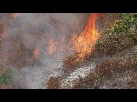
NASA and NOAA Take to the Air to Chase Smoke
0 Views0 Comments0 Likes
NASA, NOAA and university partners are taking to the skies, and the ground, to chase smoke from fires burning across the United States.
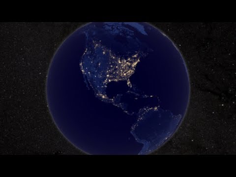
NASA Earth at Night
0 Views0 Comments0 Likes
In daylight our big blue marble is all land, oceans and clouds. But the night - is electric. This view of Earth at night is a cloud-free view from space as acquired by the Suomi National Polar-orbiting Partnership Satellite (Suomi NPP).
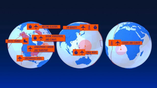
NASA Earth Expeditions: An Animated Tour
0 Views0 Comments0 Likes
NASA takes you on a world tour with this animation as we kick off major new field campaigns to study regions of critical change from land, sea and air.
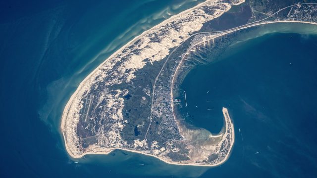
NASA Earth Observatory Goes to the Beach
0 Views0 Comments0 Likes
This video from NASA Earth Observatory shows the satellite and space-station view of various shorelines across the United States.
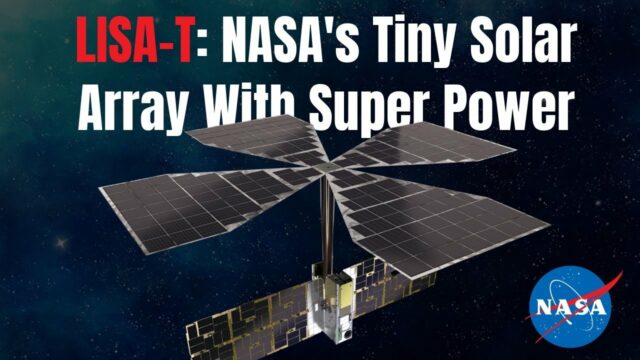
NASA Expert Describes Agency’s Tiny Solar Array With Super Power
0 Views0 Comments0 Likes
NASA teams are testing a key technology demonstration known as LISA-T, short for the Lightweight Integrated Solar Array and anTenna. It’s a super compact, stowable, thin-film solar array that when fully deployed in sp...


