
Browse Archives

Landing on a Comet – The Rosetta Mission
0 Views0 Comments0 Likes
After a 10-year journey of some seven billion kilometres, the Rosetta mission is now heading towards its next major milestone – setting the lander Philae on a comet. On 12 November 2014, a lander is scheduled to touch down on a comet for the first time in the history of spaceflight. “We don’t know exactly what awaits us there,” says lander Project Manager Stephan Ulamec from the German Aerospace Center (Deutsches Zentrum für Luft- und Raumfahrt; DLR).
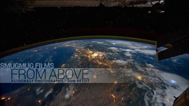
From Above – Astronaut Photography with Don Pettit
0 Views0 Comments0 Likes
You've never seen space like this. This short film gives an inside look at how NASA Astronaut Don Pettit captures breathtaking images of Earth's most famous phenomena - aurora, star trails, city lights, and more - from the inside the International Space Station.
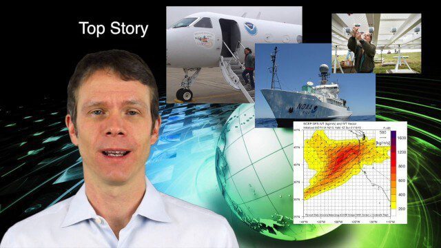
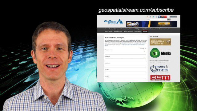
1_29 Climate Change Broadcast (CalWater 2015, USGS News and More)
0 Views0 Comments0 Likes
This GeoSpatial Stream broadcast discusses NOAA's CalWater 2015 project; USGS' new Groundwater Toolbox; industry news from Esri, Bentley Systems, URISA, MDA Information Systems and PCI Geomatics; a video from the 2014 Geodesign Summit; and more.
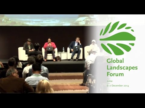
Making Forest Information Systems Work for REDD+ and Beyond
0 Views0 Comments0 Likes
Watch this discussion forum from the second day of the Global Landscapes Forum 2014, in Lima, Peru, during COP20. More and more countries have established and institutionalized sustainable, long-term and multi-purpose information systems in the context of REDD+ to support well-informed national policy formulation and decision making at different levels, and to meet national and international reporting needs. This panel discusses if they are used beyond estimating carbon stocks, how they improve global estimates and information, and how they can be most cost effective.
Building Climate Resilience: Getting Started
0 Views0 Comments0 Likes
For many Americans, adapting to new climate regimes means developing new expertise. Decision-makers across the nation are using data and tools to reduce their risks and protect their investments from climate. This video explains how you can use the Climate Resilience Toolkit web site to improve resilience.
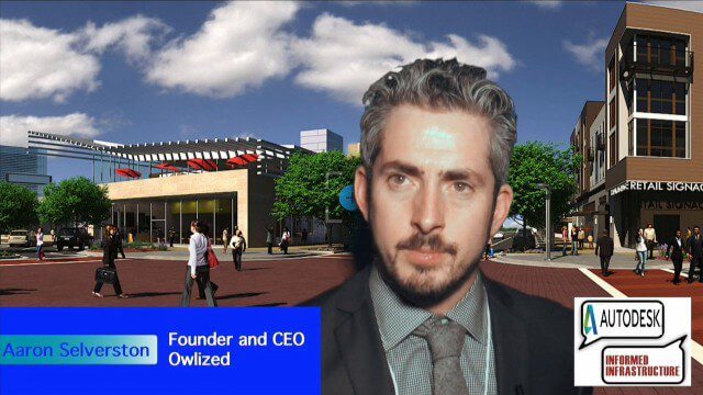
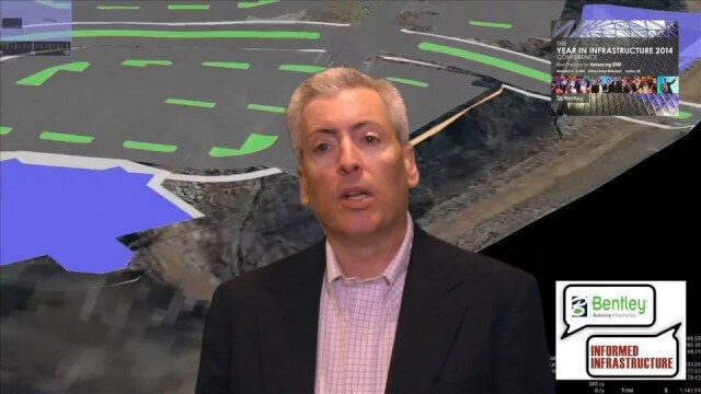
Bringing the Model to the People
0 Views0 Comments0 Likes
Informed Infrastructure spoke with Aaron Selverston, Founder and CEO, Owlized, at Autodesk University 2014 in Las Vegas. The Owl is a virtual reality device that presents a 3-D model of planned changes in the familiar form factor of a coin-operator binocular. Users approach the device and look into a registered model to see how familiar surroundings will evolve. Our conversation touched on the need for a more informative outreach method to guide urban transformation.
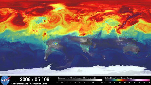
A Year in the Life of Earth’s CO2
0 Views0 Comments0 Likes
An ultra-high-resolution NASA computer model has given scientists a stunning new look at how carbon dioxide in the atmosphere travels around the globe.
1_15 Infrastructure Broadcast (Geodesign Summit, Road Maintenance and More)
0 Views0 Comments0 Likes
This Infrastructure-themed GeoSpatial Stream broadcast discusses the impending road-maintenance crisis worldwide as well as possible new spending initiatives; U.S. DOT grants to strengthen commercial vehicle safety via intelligent transportation systems; a new "drive by" heat-mapping system; industry news from USGIF, Esri, Innovyze and FARO; a video from the 2014 Geodesign Summit in anticipation of this year's event; and more.
Solving the Site Engineering Cost Problem with SITEOPS
0 Views0 Comments0 Likes
Bentley Systems has had a stake in SITEOPS since 2010 and completed the acquisition in August 2014. Informed Infrastructure spoke to Mike Detwiler, vice president, SITEOPS Product Development, about this innovative cloud-based site-development tool that is being widely used in construction. This product is now being integrated across Bentley's other offerings, with intelligent 3-D data models carried throughout the project workflow.
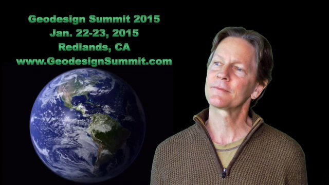
2015 Geodesign Summit Rapidly Approaching, Highlights Discussed
0 Views0 Comments0 Likes
Shannon McElvaney, Esri's Community Development Manager, notes some of the speaker and event highlights for the upcoming 2015 Geodesign Summit to be held Jan. 22-23, 2015, in Redlands, Calif. This "transdisciplinary" event has a place for anyone looking to help create a better world through informed, collaborative design.


