
Browse Archives

Earth from Space: Glacier Bay, Alaska
0 Views0 Comments0 Likes
In this week's edition of the Earth from Space program, we explore part of the Glacier Bay National Park and Preserve, Alaska, with Copernicus Sentinel-2.
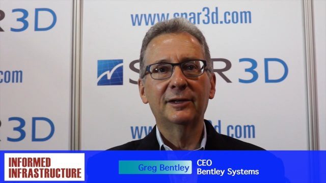
Greg Bentley Talks Reality Modeling and the Future of 3D Tech
0 Views0 Comments0 Likes
The V1 Video team interviewed Greg Bentley, CEO of Bentley Systems, at the 2016 SPAR 3D Expo and Conference, held April 11-14 in The Woodlands, Texas. In Part I, he provides his insight into reality modeling, the differences between a reality mesh and a point cloud, new tools for improved engineering and the future of 3D technology.

5_12 Infrastructure Broadcast (Earthquakes, Streetcars and More)
0 Views0 Comments0 Likes
This Infrastructure-themed GeoSpatial Stream broadcast covers the devastating earthquake in Ecuador on April 16, 2016, and relief efforts from Miyamoto International to help rebuild the city's hard-hit infrastructure; a recently opened $100-million-dollar streetcar project in Kansas City; industry news from Trimble, Bentley Systems, Transoft Solutions and Autodesk; a video interview clip about Chicago's famed 150 N. Riverside Building; and more.
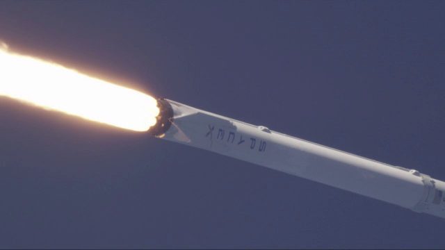
SpaceX Falcon 9 Liftoff with TESS
0 Views0 Comments0 Likes
A Falcon 9 rocket lifts off at 6:51 p.m. EDT from Space Launch Complex 40 at Cape Canaveral Air Force Station carrying NASA's Transiting Exoplanet Survey Satellite (TESS).
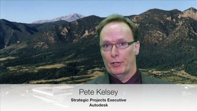
USAFA Reality Capture Showcase: Pete Kelsey, Autodesk
0 Views0 Comments0 Likes
V1 Media was at the U.S. Air Force Academy (USAFA) Reality Capture Showcase at the Department of Civil and Environmental Engineering, interviewing Pete Kelsey, Strategic Projects Executive, Autodesk.
Exploring Space: Cosmic Revolutionaries
0 Views0 Comments0 Likes
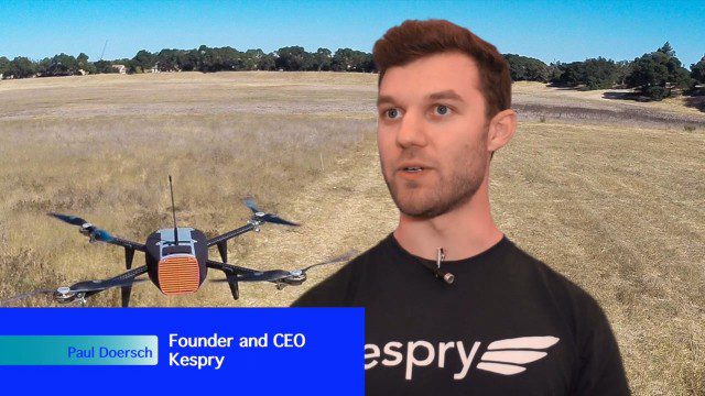
Building Drones for Construction, Surveying and Mining Applications
0 Views0 Comments0 Likes
The V1 Video team spoke to Paul Doersch, founder and CEO of Kespry. We talked about his company’s workflows specific to automating the collection of aerial survey information, including the measurement of aggregate stockpiles and mining resources.
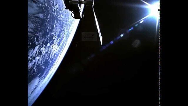
TechDemoSat-1 in Orbit Video
0 Views0 Comments0 Likes
Video taken in-orbit on 8 July 2014 using an inspection camera on-board the TechDemoSat-1 satellite starting about 30 seconds after separation from the launcher. At 6 seconds the Sun appears at the top of the frame as a very bright white flare, before the rotation of the satellite reveals a view of Earth below, of the Pacific Ocean south of French Polynesia.

8_4 Infrastructure Broadcast (TIGER Grants, Transit Tech and More)
0 Views0 Comments0 Likes
This Infrastructure-themed GeoSpatial Stream broadcast discusses $500 million in grants from the USDOT's TIGER program; highlights from the latest issue of Informed Infrastructure magazine; new virtual reality technology to promote transit; industry news from Pix4D, Thinkbox Software and the Global Infrastructure Hub; a video from the Mississippi Watershed Management Organization about a stormwater filtration system recently installed near Minneapolis; and more.
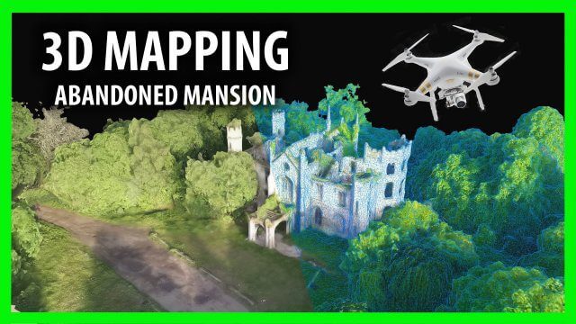
3D Drone Mapping of Scotland’s Cambusncethan Priory Mansion
0 Views0 Comments0 Likes
Abandoned Scotland created this video of a project to create 3D mapping from drones of the Cambusncethan Priory mansion. http://www.abandonedscotland.com


