
Browse Archives
GEOSS Functions and Main Components
0 Views0 Comments0 Likes
Infrastructure and Data: The Global Earth Observation System of Systems (GEOSS) functions and main components, sustainability, user access and benefits.
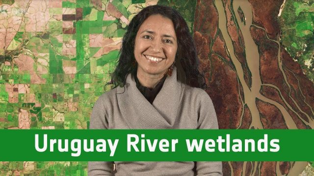
Earth from Space: Uruguay River Wetlands
0 Views0 Comments0 Likes
In this week's edition of the Earth from Space program, the Copernicus Sentinel-2B satellite takes us along the lower reaches of the Uruguay River.

A Trip Through Time With Landsat 9
0 Views0 Comments0 Likes
For half a century, the Landsat mission has shown us Earth from space. Now, come along with us on a "roadtrip" through the decades to see how the technology on this NASA and U.S. Geological Survey partnership has evo...

Air Quality: What’s Space Got to Do with It?
0 Views0 Comments0 Likes
Governments and decision-makers rely heavily on satellite data and computer models to show how pollution accumulates and how it is carried in the air so that they can develop appropriate mitigation strategies.
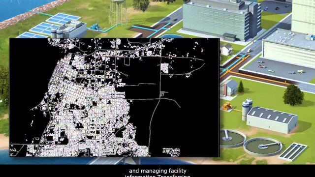
AECO Software to Manage the Urban Water Infrastructure Lifecycle
0 Views0 Comments0 Likes
Utilities and their consultants around the world rely on Bentley’s water solution to deliver intelligent infrastructure, ultimately providing clean water and managing sewerage and storm runoff. What architectural, engineering, construction, and operations (AECO) professionals can learn: • Maintain a centralized asset repository and manage facility information with Bentley’s integrated water and geospatial products • Model, analyze, and design water and wastewater pipe networks, using Bentley’s easy-to-use hydraulics and hydrology software • Design and build water and wastewater treatment plants in a fully-managed, collaborative team environment, using Bentley’s plant, structural, and building applications.
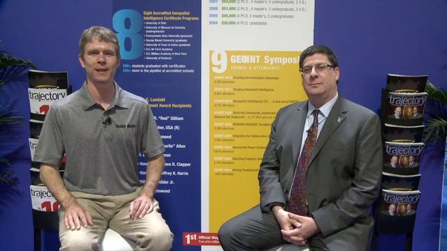
Keith Masback Interview (USGIF CEO at GEOINT)
0 Views0 Comments0 Likes
Todd Danielson interviews Keith Masback, CEO of the U.S. Geospatial Intelligence Foundation (USGIF), at the GEOINT Symposium in Tampa, Florida. They discuss highlights of the event, the effect of the show's unexpected delay from fall 2013 to spring 2014 and what has changed since then, where and when the next event will be held, how technologies start at GEOINT and "trickle down" into the larger industry, industry integration, the wide range of companies in attendance, and more.
Construction Climate Talks (Episode 6 – Roland Hunker)
0 Views0 Comments0 Likes
Roland Hunziker, director of the Sustainable Buildings and Cities programme at the WBCSD, discusses how to redefine value and get businesses to understand how to drive sustainable outcomes.
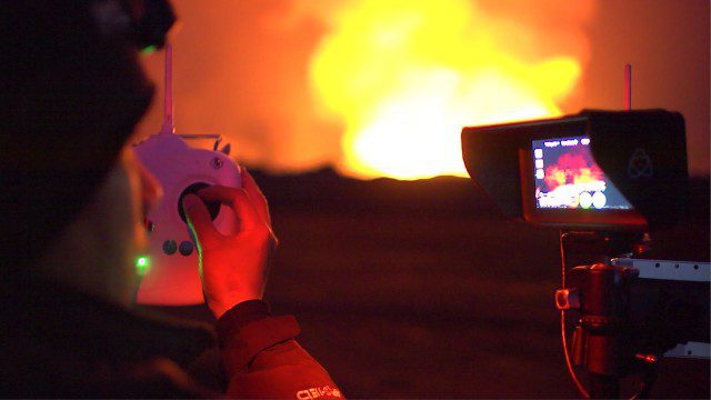
Drones Capture Images of Erupting Iceland Volcano, Part 1
0 Views0 Comments0 Likes
DJI's first video in a series called "DJI Feats" takes you to the remote wilderness of an erupting Icelandic volcano, where Phantom 2 quadcopters are used to capture viewpoints of an exploding magma caldera too dangerous to be approached by manned aircraft.

Patrick Collins Interview
0 Views0 Comments0 Likes
Matt Ball interviews Patrick Collins, Technical Solutions Engineer, Exelis Visual Information Solutions. They discuss the increasing size of LiDAR data and the tools to handle such volume as well as the variety of ways image data can be analyzed, including automated feature extraction.
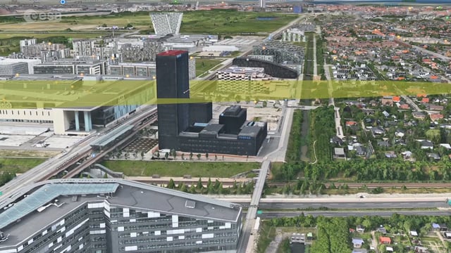
Ascend – Obstacle management solution
0 Views0 Comments0 Likes
Ascend XYZ in Denmark has developed a service to help airports to comply with airside safety regulations. The service uses satellites and aircraft combined with smart web-based software to record and monitor potential obstacles that encroach on restricted zones at airports and therefore pose a risk to flight safety. This project was supported within ESA's ARTES Applications programme.


