
Browse Archives

Flood Forecast
0 Views0 Comments0 Likes
When users register their address, they receive push alerts notifying them when that address is in danger of flooding. This app analyzes National Oceanic and Atmospheric Administration (NOAA) flood advisories, identifies specific properties affected by floods, consumes forecast information to provide accurate weather reports based on the user's location, and sends flood alerts via Twilio and the location of the nearest Disaster Assistance Center.

Fly Your Satellite!
0 Views0 Comments0 Likes
Fly Your Satellite! is an educational program for university students, created by ESA after the launch of seven university CubeSats on the 2012 Vega maiden flight.
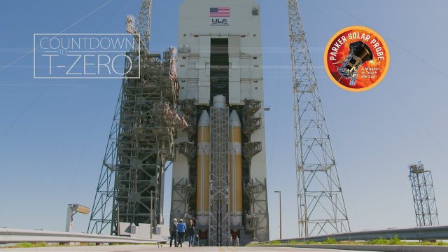
Flying Faster, Hotter and Closer Than Ever to the Sun
0 Views0 Comments0 Likes
NASA's Parker Solar Probe and its United Launch Alliance Delta IV Heavy launch vehicle prepare for an unprecedented mission to "kiss the Sun."
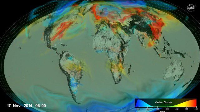
Following Carbon Dioxide Through the Atmosphere
0 Views0 Comments0 Likes
Using observations from NASA's Orbiting Carbon Observatory (OCO-2) satellite, scientists developed a model of the behavior of carbon in the atmosphere.

Food Maps
0 Views0 Comments0 Likes
These food maps created by Caitlin Levin and Henry Hargreaves originally were inspired by a passion for travel. Exploring new places through the food you eat is often a portal to the cultural complexities of that place.
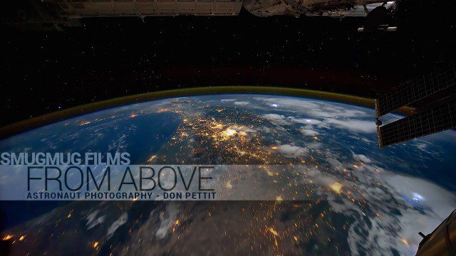
From Above – Astronaut Photography with Don Pettit
0 Views0 Comments0 Likes
You've never seen space like this. This short film gives an inside look at how NASA Astronaut Don Pettit captures breathtaking images of Earth's most famous phenomena - aurora, star trails, city lights, and more - from the inside the International Space Station.

Fujisawa Sustainable Smart Town Goes Into Full-Scale Operation
0 Views0 Comments0 Likes
Fujisawa SST begins full-scale operation, following the completion of “Fujisawa SST SQUARE,” its core facility.

Fully Integrated RiCOPTER UAV in Flight
0 Views0 Comments0 Likes
RiCOPTER is a high-performance UAV which can be equipped with the RIEGL VUX-1 survey-grade LiDAR sensor to offer a fully integrated turnkey solution and marks the first complete UAS LiDAR solution from one manufacturer.
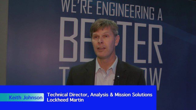
Fusing Data through Automation to Provide Insight
0 Views0 Comments0 Likes
The V1 Video team interviewed Keith Johnson, technical director for Analysis & Mission Solutions at Lockheed Martin, at the GEOINT Symposium in Washington, D.C. We spoke about making sense of imagery; wide-area full-motion video; and textual, social, civil, signals and cyber inputs for decision makers. Lockheed Martin is focused on automation to deliver the right type of data to the analyst as well as providing next-generation sensors with on-board processing that complement other expanding sensors.
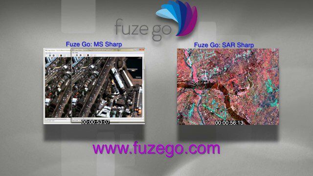
Fuze Go Commercial
0 Views0 Comments0 Likes
We created this commercial for Fuze Go, where it's running on the company's Web site at www.fuzego.com.


