Browse Archives
A CEO’s Perspective on the Year in Infrastructure: Greg Bentley, CEO, Bentley Systems
0 Views0 Comments0 Likes
The Year in Infrastructure event, which includes the Be Inspired Awards, is a unique event that brings together leading infrastructure companies from around the globe to showcase projects and process improvement. Informed Infrastructure spoke with Greg Bentley, CEO of Bentley Systems, about the evolving role of "software at your service." We spoke about engineering as an outcome-based service, the Chinese adoption of BIM technology, the UK government's commitment to BIM, and improved process outcomes.
4_28 Earth Imaging Broadcast (Sentinel, Drones and More)
0 Views0 Comments0 Likes
This Earth Imaging-themed GeoSpatial Stream broadcast discusses the recent successful launch of the European Space Agency's Sentinel 1-B satellite; UAS (or drone) news about a 3D-printed vehicle helping ships navigate Antarctic seas as well as the economic impact of the Micro Aerial Vehicle market; a NASA study on the greening of Earth caused by increased carbon dioxide; industry news from 5D Robotics, LizardTech, the U.S. Geospatial Intelligence Foundation and Teledyne Optech; a video about the Sentinel satellites capabilities; and more.
Human Influence on Global Droughts Goes Back 100 Years
0 Views0 Comments0 Likes
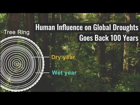
Human-generated greenhouse gases and atmospheric particles were affecting global drought risk as far back as the early 20th century, according to a study from NASA's Goddard Institute for Space Studies (GISS) in New York City.
Esri’s Geotrigger Service Explained
0 Views1 Comments0 Likes
Matt Ball spoke with Amber Case, director of Esri's R&D Center in Portland, at the Local Data Summit in Denver on Feb. 25, 2014. The conversation ranges from accessible geospatial technology, the ubiquity of mobile devices, and the connections that are made with location awareness and location-based alerts.
6_19 Asia-Pacific Broadcast (Toxic Sites, Bird Flu Maps and More)
0 Views0 Comments0 Likes
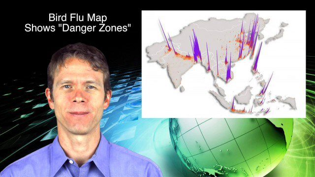
This Asia-Pacific-focused GeoSpatial Stream broadcast discusses an analysis from the Global Alliance on Health and Pollution; 3D images of the Fukushima Daiichi nuclear complex; an Indonesia forestry map; bird flu maps; China's Fengyun-3C satellite; India's Bhaskaracharya Institute for Space Applications and Geoinformatics; industry headlines from AAM and JTRS Registered Surveyor, Fugro, VisionMap and Acute3D, and Supergeo; the "Poisoned Poor"; and more.
The Nature Conservancy’s Zach Ferdaña and Coastal Resilience at the Geodesign Summit
0 Views0 Comments0 Likes
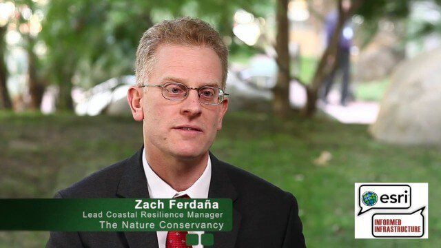
Zach Ferdaña is Lead Coastal Resilience Manager at The Nature Conservancy. The Coastal Resilience program is an array of projects using online decision support tools to promote the role of coastal habitats in hazard mitigation, restoration and resilience planning. On behalf of V1 Media, Informed Infrastructure and GeoSpatial Stream, Todd Danielson interviewed Ferdaña at the Geodesign Summit 2015 in Redlands, Calif.
11_20 Earth Imaging Broadcast (Carbon Dioxide Modeling, GIS Day and More)
0 Views0 Comments0 Likes
This GeoSpatial Stream broadcast discusses Earth Imaging news and videos, including a supercomputer animation on carbon dioxide; the USGS William T. Pecora Award; the recent Antares rocket explosion; thoughts on Big Data from the European Space Agency; industry news from VineView SAI, SkySquirrel Technologies and DigitalGlobe; GIS Day; and more.
Meteosat Third Generation: Painting the Full Picture
0 Views0 Comments0 Likes
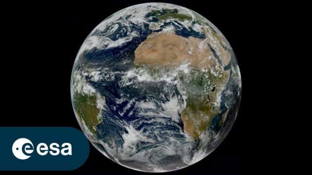
In a significant leap forward for meteorology, the preliminary data obtained by Meteosat Third Generation’s two instruments, the Flexible Combined Imager (FCI) and the Lightning Imager (LI), were successfully combined...
LiDAR – Introduction to Light Detection and Ranging
0 Views0 Comments0 Likes
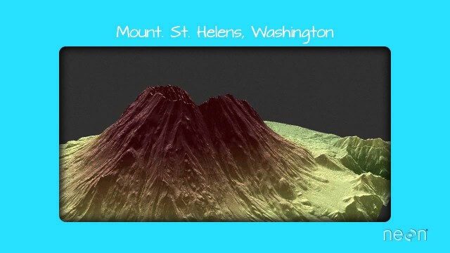
This video presents LiDAR of light detection and ranging, an active remote sensing system that uses laser energy, to measure the heights of objects like trees and buildings and even the ground. This video was developed by the National Ecological Observatory Network (www.neoninc.org).
Integrating Geospatial Technology with Business Intelligence
0 Views0 Comments0 Likes
The V1 Video team interviewed Joe Francica, managing director, Geospatial Industry Solutions at Pitney Bowes, at the GEOINT Symposium in Washington, D.C. We spoke about the launch of MapInfo Pro Raster that uses new Multi-Resolution Raster technology to enable fast processing, visualization and analysis of large high-resolution imagery datasets. We also spoke about the MapInfo Pro 64 bit, which speeds up productivity.


