Browse Archives
AECO Software to Manage the Urban Water Infrastructure Lifecycle
0 Views0 Comments0 Likes
Utilities and their consultants around the world rely on Bentley’s water solution to deliver intelligent infrastructure, ultimately providing clean water and managing sewerage and storm runoff. What architectural, engineering, construction, and operations (AECO) professionals can learn: • Maintain a centralized asset repository and manage facility information with Bentley’s integrated water and geospatial products • Model, analyze, and design water and wastewater pipe networks, using Bentley’s easy-to-use hydraulics and hydrology software • Design and build water and wastewater treatment plants in a fully-managed, collaborative team environment, using Bentley’s plant, structural, and building applications.
Aeolus Liftoff Replay
0 Views0 Comments0 Likes
ESA’s Earth Explorer Aeolus satellite lifted off on a Vega rocket from Europe’s Spaceport in Kourou, French Guiana, on Aug. 22, 2018.
AFL-CIO Building Investment Trust Presents Wolf Point West
0 Views0 Comments0 Likes
The AFL-CIO Building Investment Trust (BIT), which re-invests union retirement plans and pensions in real estate projects, poured $34 million into the $160 million Wolf Point West tower that opened earlier this year. BIT produced a new video highlighting their involvement in the Hines Interests and Joseph P. Kennedy Enterprises joint venture.
After Quake, Engineer in Khatmandu Describes What Fell Down, or Didn’t, and Why
0 Views0 Comments0 Likes
Kit Miyamoto, a structural engineer fresh from five years rebuilding Haiti, spoke with Andy Revkin of The New York Times Dot Earth blog after a day inspecting Kathmandu damage zones.
Agricultural Spraying Drone in Spain
0 Views0 Comments0 Likes
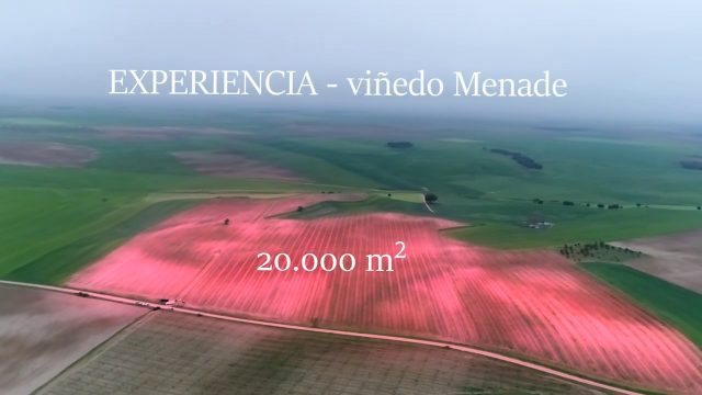
Due to heavy rain, the entry of motorized vehicles to the field was impossible, but thanks to HYBRiX technology, farmers in Rueda, Spain, were able to spray all their vid fields in one day of work obtaining the expected results.
AI and NASA Data Used to Discover Eighth Planet Circling Distant Star
0 Views0 Comments0 Likes
Our solar system now is tied for most number of planets around a single star, with the recent discovery of an eighth planet circling Kepler-90, a Sun-like star 2,545 light years from Earth. The planet was discovered in data from NASA’s Kepler space telescope.
Air Quality in Washington, D.C.
0 Views0 Comments0 Likes
A video production for NASA's Earth Information Center about air quality in Washington, D.C. Air pollution in DC has declined by 50% in the last two decades. NASA uses sensors aboard satellites and aircraft to obta...
Air Quality: What’s Space Got to Do with It?
0 Views0 Comments0 Likes
Governments and decision-makers rely heavily on satellite data and computer models to show how pollution accumulates and how it is carried in the air so that they can develop appropriate mitigation strategies.
Airbus Defence and Space Brings Laser Communications to Earth Observation
0 Views0 Comments0 Likes
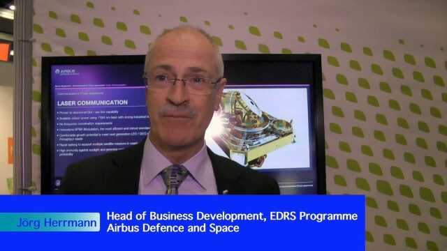
Earth Imaging Journal spoke with Jörg Herrmann, head of business development for the EDRS SpaceDataHighway Programme at Airbus Defence and Space, at the recent International Space Symposium. This laser-based data-relay system provides high-speed, near-real-time data transfer for Low Earth Orbit (LEO) satellites and airborne (unmanned/manned) platforms (UAS).
Airbus Defence and Space Launches WorldDEM DTM
0 Views0 Comments0 Likes
Airbus Defence and Space released its global elevation model that was captured by the twin TerraSAR-X and TanDEM-X radar satellites in 2014 and now is producing Digital Terrain Models based on this dataset. The 12-meter-resolution pole-to-pole elevation data are a major improvement upon the commonly used 30-meter USGS SRTM data. Earth Imaging Journal spoke with Gertrud Riegler, WorldDEM Product Manager, Airbus Defence and Space, at the International Space Symposium about this new dataset and its many uses.

