
Browse Archives
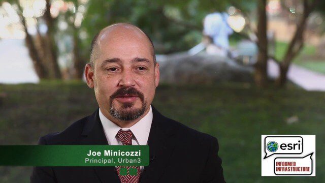
Joe Minicozzi Underscores Financial Consequences at the Geodesign Summit
0 Views0 Comments0 Likes
Joe Minicozzi is the principal of the econometric consulting firm Urban3 (U3), which looks at the financial aspects and consequences of urban design choices. On behalf of V1 Media, Informed Infrastructure and GeoSpatial Stream, Todd Danielson interviewed Minicozzi at the Geodesign Summit 2015 in Redlands, Calif.
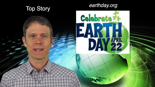
4_14 Earth Day Broadcast (Conservation, El Niño and More)
0 Views0 Comments0 Likes
This GeoSpatial Stream broadcast discusses the upcoming Earth Day on April 22nd and the many events that look to increase awareness of the environment and the technologies that can be used to protect it; a new mobile game called "Save the Park" that introduces children to national parks and environmental stewardship; the effect of El Niño events on marine plant life; industry news from AGI, Esri, Maptiks, East View Geospatial and PCI Geomatics; a video about the history of Earth Day and its impacts; and more.

EveryDropLA
0 Views0 Comments0 Likes
Encouraging water conservation, the app allows users to identify and directly report water waste, view instances of water waste around them, receive alerts to conserve when essential, educate themselves on water conservation, and engage the water community through social media.
12_12 Broadcast (Microsatellites, Climate Models, Dinosaurs, Odysseus and more)
0 Views0 Comments0 Likes
This episode of GeoSpatial Stream discusses SkyBox and microsatellites, climate models, dinosaur extinction, Odysseus and more.

What Is the Geodesign Summit?
0 Views6 Comments0 Likes
Esri's annual Geodesign Summit has been a key element in moving the geodesign movement forward. This video from GeoSpatial Stream summarizes some of the important geodesign concepts as well as how Esri's conference informs and motivates those interested in designing a better and smarter built environment.
Tracking Three Decades of Dramatic Glacial Lake Growth
0 Views0 Comments0 Likes
In the largest-ever study of glacial lakes, researchers using a 30-year satellite data record have found that the volume of these lakes worldwide has increased by about 50% since 1990 as glaciers melt and retreat due to climate change.

Earth from Space: Glacier Bay, Alaska
0 Views0 Comments0 Likes
In this week's edition of the Earth from Space program, we explore part of the Glacier Bay National Park and Preserve, Alaska, with Copernicus Sentinel-2.

Jon Skiffington Interview (LizardTech)
0 Views0 Comments0 Likes
Todd Danielson interviews Jon Skiffington, Director, Product Management, LizardTech, at the GEOINT Symposium in Tampa, Florida. They discuss LizardTech's MrSID product and how it compresses imagery and other large datasets, GEOINT imagery users, GeoExpress and Express Server 9, and the company Web site.
Earth from Space: Ganges Delta
0 Views0 Comments0 Likes
This week's edition of the Earth from Space program explores the Ganges Delta, the world’s largest river delta, with Copernicus Sentinel-3.
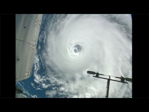
Space Station Orbits Three Hurricanes
0 Views0 Comments0 Likes
Cameras outside the International Space Station, 257 miles above Earth, captured spectacular views on Aug. 30, 2016, of three powerful tropical systems churning across the Pacific and Atlantic Oceans.


