
Browse Archives

Richard Humphrey Autodesk Interview (Short Version)
0 Views0 Comments0 Likes
In this condensed version, Todd Danielson interviews Richard Humphrey, senior director, Infrastructure Products, Autodesk. They discuss how technology can help "bridge the gaps" in infrastructure spending, simulation services, and large-scale modeling.
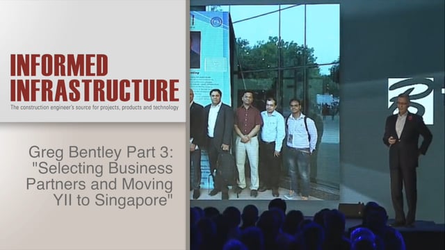
Greg Bentley Interview Part 3: Selecting Business Partners and Moving YII to Singapore
0 Views0 Comments0 Likes
Informed Infrastructure interviewed Greg Bentley, the CEO of Bentley Systems, at the Year In Infrastructure Event held Nov. 1-3, 2017, at the Hilton London Metropole. In Part 3 of this interview, he discusses some of the criteria Bentley uses to select its business partners as well as the reasoning for moving the Year In Infrastructure 2017 event to Singapore and what might be different at that event.

Urban Heat Risk Explorer
0 Views0 Comments0 Likes
Helping cities prepare for, respond to, and recover from extreme heat events, the app provides users with a better understanding of heat risks in cities and communicates with users on ways they can protect themselves during extreme heat events.
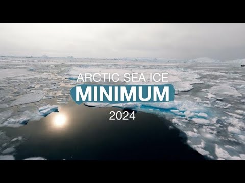
Arctic Sea Ice Near Historic Low; Antarctic Ice Continues Decline
0 Views0 Comments0 Likes
This summer, Arctic sea ice decreased to a its minimum extent on Sept. 11, 2024. According to the National Snow and Ice Data Center this is the 7th lowest in the satellite record. The decline continues the long-term t...
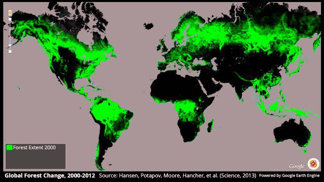
Global Forest Change, 2000-2012
0 Views0 Comments0 Likes
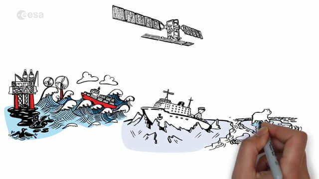
Satellite Radar Vision Whiteboard
0 Views0 Comments0 Likes
Discover how the European Space Agency Sentinel-1 mission uses its radar to provide an all-weather, day-and-night supply of imagery of Earth’s surface to make our lives safer.
Earth from Space: Ganges Delta
0 Views0 Comments0 Likes
This week's edition of the Earth from Space program explores the Ganges Delta, the world’s largest river delta, with Copernicus Sentinel-3.
Promoting the Value of 3-D Data for the Nation
0 Views0 Comments0 Likes
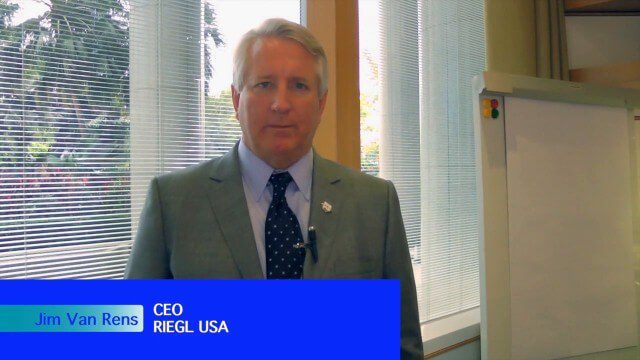
Informed Infrastructure spoke with Jim Van Rens, CEO of RIEGL USA, at the company’s user conference in Hong Kong. Jim is actively involved in helping promote the U.S. Geological Survey’s 3D Elevation Program (3DEP) that aims to map the country in high-resolution 3-D using LiDAR and aligned technologies.

Autodesk Infrastructure Symposium (Short Trailer Version)
0 Views0 Comments0 Likes
This video is a short trailer of the full video recapping the Autodesk Infrastructure Symposium held on Dec. 2, 2013, in Las Vegas, Nevada. Events covered include the General Session, a BIM Best Practices Roundtable, a Technology Showcase, a Transportation and Wet Infrastructure session and more.
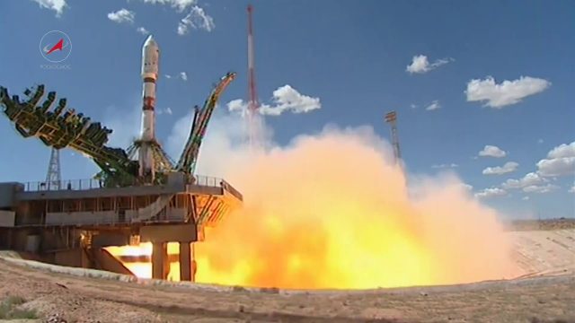
Soyuz Rocket Deploys 73 Satellites
0 Views0 Comments0 Likes
On July 14, 2017, a Russian Soyuz booster lifted off from Kazakhstan on a complex mission to deploy 73 satellites into three different orbits, including a Russian spacecraft to locate forest fires, 48 CubeSats for Planet’s global Earth observation fleet, and eight nanosatellites for Spire Global’s commercial weather network.


