
Browse Archives

Australian Engineers Using BIM on Major Projects
0 Views0 Comments0 Likes
The V1 Video team was at Autodesk University 2015 in Las Vegas and interviewed Mark Patis, Technical Executive, Design, WSP Parsons Brinckerhoff. He discussed model-based design and how to gain project efficiencies, some major engineering projects in Australia, 3D modeling, and the power of visualization.

Elmer Bol Interview (Autodesk)
0 Views0 Comments0 Likes
Matt Ball interviews Elmer Bol, Director of Product Management, Autodesk, at SPAR International in Colorado Springs, Colo. They discuss Reality Capture solutions, evolution in the construction industry, laser scanning, Autodesk products, data capture and mining, change detection, and more.

A Trip Through Time With Landsat 9
0 Views0 Comments0 Likes
For half a century, the Landsat mission has shown us Earth from space. Now, come along with us on a "roadtrip" through the decades to see how the technology on this NASA and U.S. Geological Survey partnership has evo...
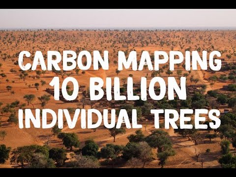
NASA Maps Carbon of 10 Billion Individual Trees
0 Views0 Comments0 Likes
Using commercial, high-resolution satellite images and artificial intelligence, a team of NASA-funded scientists mapped almost 10 billion individual trees in Africa’s drylands in order to assess the amount of carbon s...
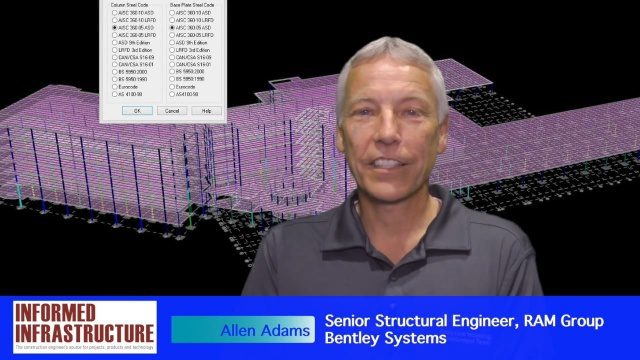
The Challenges and Benefits of Interoperability
0 Views0 Comments0 Likes
The V1 Video team interviewed Allen Adams, Senior Structural Engineer, RAM Group, Bentley Systems, at the 2016 NASCC: The Steel Conference, held April 13-15 in Orlando, Fla. He discusses the major challenges of interoperability in the infrastructure industry, Bentley Systems' approach to these difficulties, what it looks like when data isn't open to others within an organization, and how Bentley software saves its clients time and money.
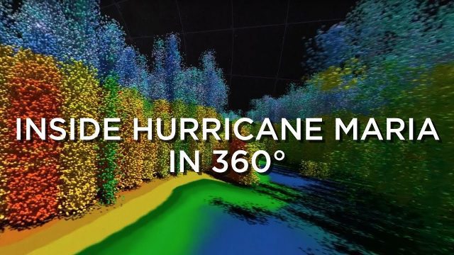
Inside Hurricane Maria in 360°
0 Views0 Comments0 Likes
Two days before Hurricane Maria devastated Puerto Rico, the NASA-Japan Global Precipitation Measurement Core Observatory satellite captured a 3-D view of the storm.

Location Tracking and Advertising
0 Views0 Comments0 Likes
A video from The Economist describes how location technology is used to track online viewers.
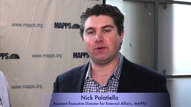
Nick Palatiello Interview
0 Views0 Comments0 Likes
Matt Ball interviews Nick Palatiello, Assistant Executive Director for External Affairs, MAPPS. They discuss the lobbying organization's history, agenda and how it works with government officials to advocate for the geospatial profession.
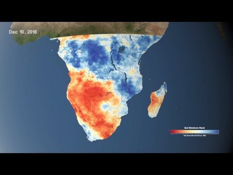
Using NASA Data to Monitor Drought and Food Insecurity
0 Views0 Comments0 Likes
NASA's satellite imagery and model forecasts play an important role in monitoring the performance of crops worldwide and preparing for food shortages.
9_10 Location Surveillance Broadcast (Phone Tracking, Global Road Map and More)
0 Views0 Comments0 Likes
This GeoSpatial Stream broadcast discusses location surveillance and how portals are providing cellphone locations as a paid service; the Global Road Map and its quest to limit environmental impact; Canada's investment in a global survey of surface water; NATO's Joint Intelligence, Surveillance and Reconnaissance capability; industry news from Esri, Ocean Optics and PCI Geomatics; opinions on location surveillance; and more.


