
Browse Archives
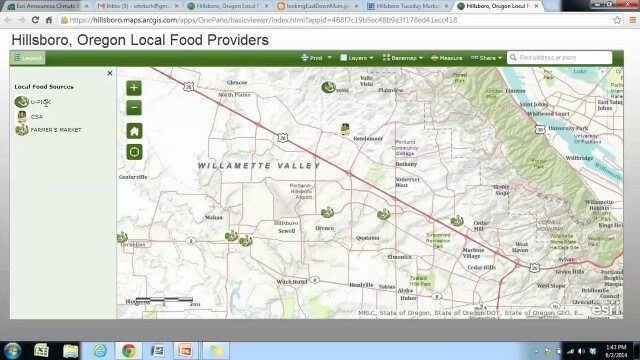
Local Food Alternatives in Washington County
0 Views0 Comments0 Likes
The app provides information on the availability of local and seasonal produce from nearby farms, markets, and vendors to empower Washington County consumers to reduce their carbon footprint and support their local community.

Mike Tully Interview (Aerial Services Inc.)
0 Views0 Comments0 Likes
Matt Ball interviews Mike Tully, President and CEO, Aerial Services Inc., at SPAR International in Colorado Springs, Colo. They discuss remote sensing and airborne LiDAR in a variety of industries, sensor diversity, streamlining data delivery, and industry disruption due to unmanned aerial systems.
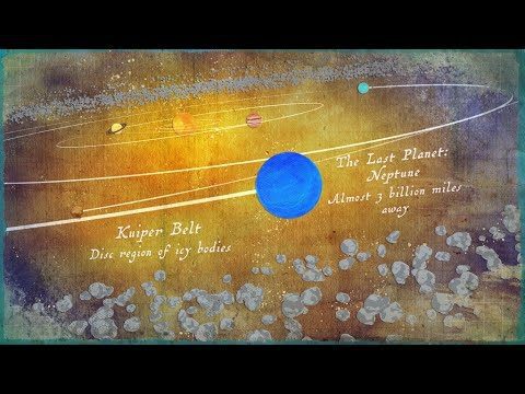
Where Is the Edge of the Solar System?
0 Views0 Comments0 Likes
Where does the solar system end? It all depends on the criteria you are using.
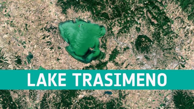
Earth from Space: Lake Trasimeno
0 Views0 Comments0 Likes
In this week's edition of the Earth from Space program, the Copernicus Sentinel-2 mission takes us over Lake Trasimeno, the fourth largest lake in Italy.
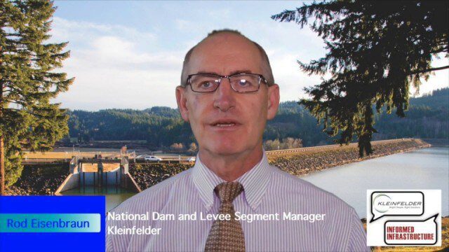
Kleinfelder Interview – Rod Eisenbraun, National Dam and Levee Segment Manager
0 Views2 Comments0 Likes
Informed Infrastructure spoke with Rod Eisenbraun, national dam and levee segment manager, at the opening of Kleinfelder’s new office in downtown Denver. The conversation covered dam creation and rehabilitation, the need for more storage with increasing droughts, the more environmentally friendly approaches these days, and hydro power as a clean power source.
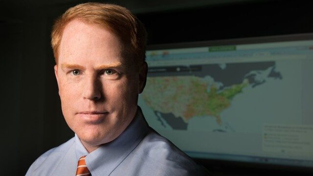
FCC Geographer Byrne Receives Medal for National Broadband Map
0 Views0 Comments0 Likes
As the FCC’s geographic information officer, Michael Byrne helped create online maps and present data in ways that have made enormous amounts of information instantly available to consumers, citizen-activists and policymakers, and provided the business community with facts to make more informed commercial decisions.
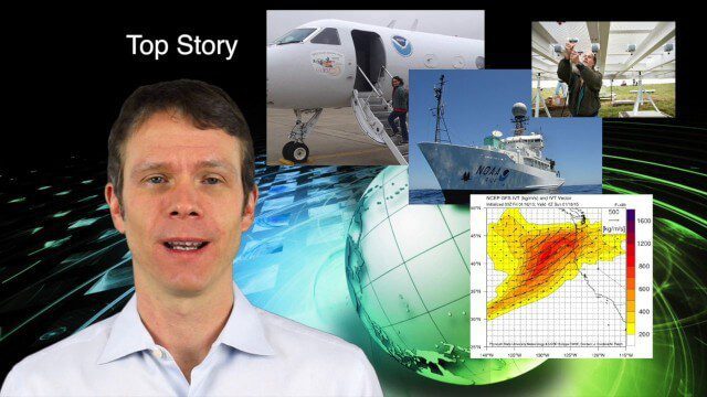
1_29 Climate Change Broadcast (CalWater 2015, USGS News and More)
0 Views0 Comments0 Likes
This GeoSpatial Stream broadcast discusses NOAA's CalWater 2015 project; USGS' new Groundwater Toolbox; industry news from Esri, Bentley Systems, URISA, MDA Information Systems and PCI Geomatics; a video from the 2014 Geodesign Summit; and more.
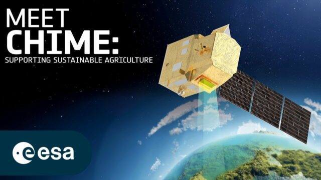
How Will Space Transform the Global Food System?
0 Views0 Comments0 Likes
According to the Food and Agriculture Organization (FAO), global agricultural production will need to increase by 60% by 2050 to meet the food demands of the growing global population. A new satellite called Copernicu...
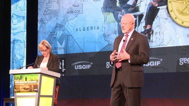
GEOINT Keynote: James Clapper, Director of National Intelligence (Part 4/Q&A)
0 Views0 Comments0 Likes
Part 4 of the GEOINT Symposium keynote address from James Clapper, Director of National Intelligence, completing the Q&A session.
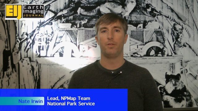
NPMap Pioneers Open and Flexible Platform
0 Views0 Comments0 Likes
The V1 Video team interviewed Nate Irwin, head of the NPMap team for the National Park Service, at the USFWS/USNPS Geospatial Training Workshop. NPMap is an innovative online mapping platform that helps park visitors navigate the details of national parks as well as providing a platform for parks to customize and share maps for park management.


