
Browse Archives
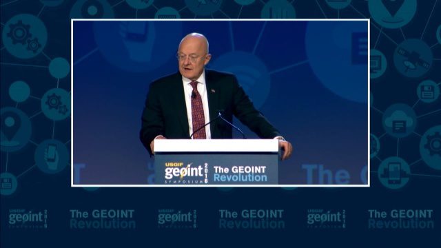
GEOINT Keynote: James R. Clapper, Director of National Intelligence
0 Views0 Comments0 Likes
The U.S. Geospatial Intelligence Foundation (USGIF) recorded the keynote speech of James Clapper, director of National Intelligence, at the 2016 GEOINT Symposium on May 16, 2016, in Orlando, Fla.
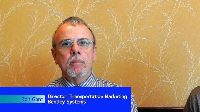
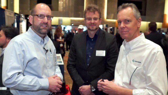
Bentley’s Ron Gant Discusses Roads and Recent Acquisitions
0 Views0 Comments0 Likes
Ron Gant is the Director of Transportation Marketing at Bentley Systems, and he spoke with V1 Media's Todd Danielson at SPAR International, which was held March 30-April 2, 2015, in Houston, Texas. They discussed the transportation industry and Bentley's role there, asset management, Bentley's acquisition of Acute3D, the value of hosting an event in Houston, and more.

EMIT (Earth Surface Mineral Dust Source Investigation) Gets Installed on International Space Station
0 Views0 Comments0 Likes
This time-lapse video shows the Candarm2 robotic arm of the International Space Station maneuvering NASA’s EMIT mission onto the exterior of the station. Extraction from the SpaceX Dragon spacecraft began around 5:15 ...
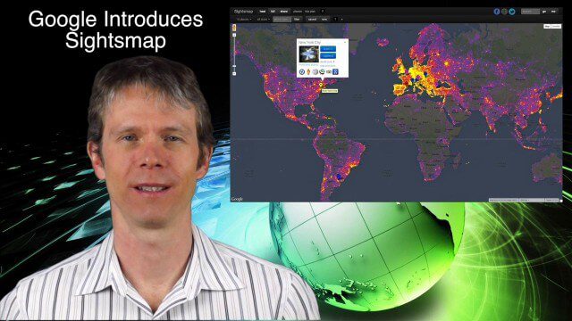
1_23 Commercial Satellite Broadcast (Google Sightsmap, Road Safety Map, Rhino Poaching and More)
0 Views0 Comments0 Likes
This GeoSpatial Stream broadcast investigates the commercial satellite imagery market; Google's Sightsmap; the WHO Road Safety map; Rhino poaching; business dealings of GRAPHISOFT, Trimble, Sputnik Enterprises; and more.
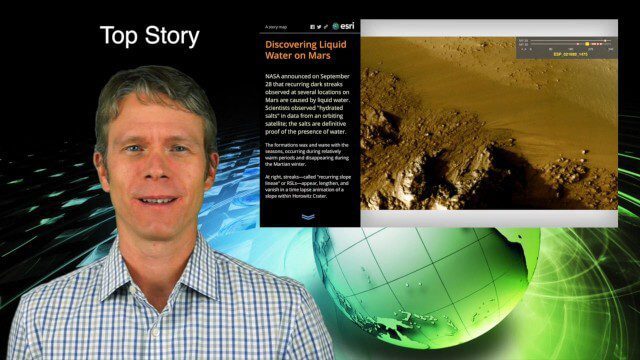
10_1 Science Broadcast (Mars Water, Neutrino and Tree Maps, and More)
0 Views0 Comments0 Likes
This GeoSpatial Stream broadcast discusses several intersections of science and geospatial technology, including NASA's announcement that Mars has liquid water; a map showing Earth's neutrinos; a video showing how scientists estimated the number of trees on Earth; industry news from exactEarth, US Topo maps, Teledyne Optech and Intergraph Government Solutions; opinions on the impact of the news from Mars; and more.
Ron Roth and Anders Ekelund Interview
0 Views0 Comments0 Likes
Matt Ball interviews Ron Roth, product manager, Airborne LiDAR, Leica Geosystems, and Anders Ekelund, managing director, Airborne Hydrography AB. They discuss Leica's acquisition of Airborne Hydrography AB and the bathymetric products the company creates, including its Chiroptera system.
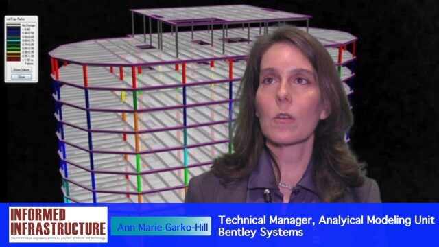
Software Interoperability Leads to Engineering Productivity
0 Views0 Comments0 Likes
The V1 Video team interviewed Anne Marie Garko-Hill, Technical Manger, Analytical Modeling Unit, Bentley Systems, at the 2016 NASCC: The Steel Conference, held April 13-15 in Orlando, Fla. She discusses engineers' desire for maximum productivity, Bentley Systems' affinity for developers with design experience, the benefits of Bentley software for its users, and how interoperability leads to greater productivity.
V1 Media Testimonials
0 Views0 Comments0 Likes
Watch this video to see what people are saying and writing about V1 Media and its expansion throughout the geospatial technology and infrastructure industries.
Satellites help spot whales
0 Views0 Comments0 Likes
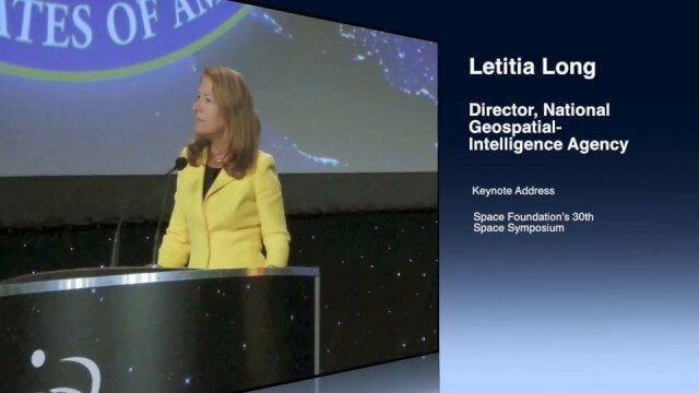
Letitia Long (Director, NGA) Keynote at 30th Space Symposium
0 Views0 Comments0 Likes
Letitia A. Long, Director of the National Geospatial-Intelligence Agency (NGA), delivered an important and powerful keynote address at the 30th Space Symposium in Colorado Springs, Colo., on May 20, 2014. Topics include the future of space programs and the space industry, their roles in intelligence, the changing nature of worldwide threats, and how space-based platforms can help predict new challenges.


