Category: Found on the Internet
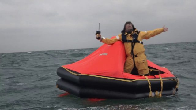
Satellite-Based Search and Rescue
0 Views0 Comments0 Likes
With the launch of Initial Services, Galileo will help search and rescue operators respond to distress signals faster and more effectively while also lowering their own exposure to risk.
A Colorful ‘Landing’ on Pluto
0 Views0 Comments0 Likes
What would it be like to actually land on Pluto? This movie was made from more than 100 images taken by NASA’s New Horizons spacecraft over six weeks of approach and close flyby in the summer of 2015.
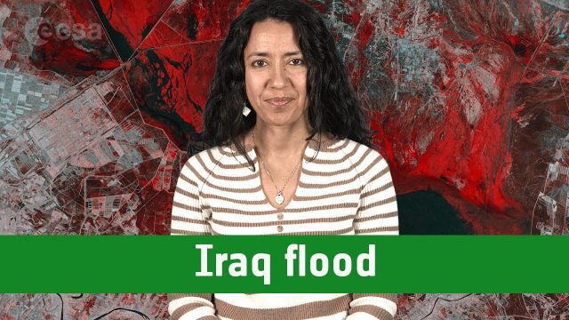
Earth from Space: Iraq Flood
0 Views0 Comments0 Likes
The Copernicus Sentinel-1 satellite takes us over one of the areas in Iraq that suffered flooding recently in this edition of the #EarthfromSpace program.
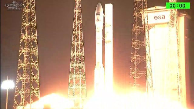
Arianespace Successfully Launches Sentinel-2B
0 Views0 Comments0 Likes
Arianespace has successfully launched the Sentinel-2B satellite for the European Commission within the scope of a contract with the European Space Agency (ESA).
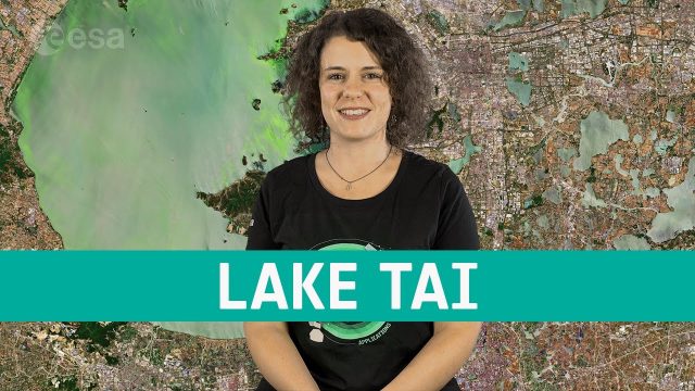
Earth from Space: Lake Tai
0 Views0 Comments0 Likes
In this week's edition of the Earth from Space program, the Copernicus Sentinel-2 mission takes us over the third largest freshwater lake in China.
Landsat: Farming Data From Space
0 Views0 Comments0 Likes
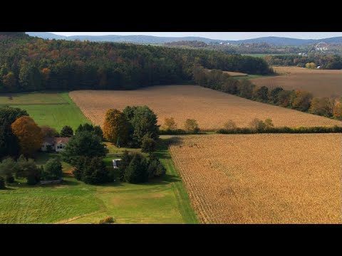
NASA's fleet of satellites has been watching over Earth for more than half a century, collecting valuable data about the crops that make up our food supply and the water it takes to grow them. This wealth of information allows scientists to monitor farmland—tracking the overall food supply, where specific crops are grown, and how much water it takes to grow them with data from the Landsat satellites and others
Earth from Space: Lake Trasimeno
0 Views0 Comments0 Likes
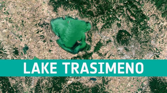
In this week's edition of the Earth from Space program, the Copernicus Sentinel-2 mission takes us over Lake Trasimeno, the fourth largest lake in Italy.
Coronavirus: Nitrogen Dioxide Emissions Drop over Italy
0 Views0 Comments0 Likes
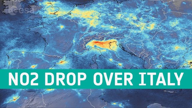
New data from the Copernicus Sentinel-5P satellite reveal the decline of air pollution, specifically nitrogen dioxide emissions, over Italy. This reduction is particularly visible in northern Italy which coincides with its nationwide lockdown to prevent the spread of the coronavirus.
The Polar Vortex Explained in 2 Minutes
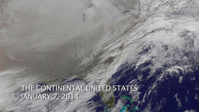
0 Views0 Comments0 Likes


