


Category: Found on the Internet

Earth from Space: Amazon River
0 Views0 Comments0 Likes
The Copernicus Sentinel-1 mission takes us over the Amazon River meandering through one of the most vital ecosystems in the world: the Amazon rainforest in South America, in this week's edition of the Earth from Space program.
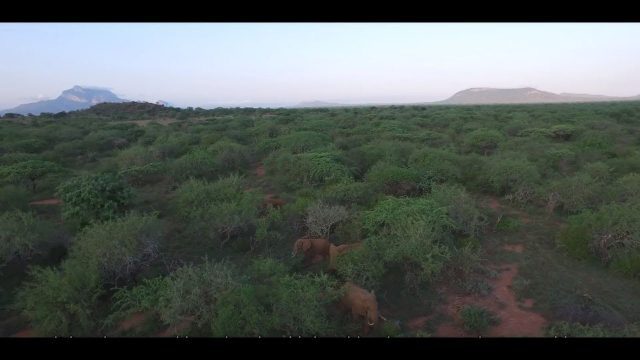
Wildlife Works Kasigau Corridor REDD+ Project, Kenya
0 Views0 Comments0 Likes
Founded in 1997, Wildlife Works has been a pioneer in market based solutions for conservation for 21 years.

Circle of Blue: Where Water Speaks
0 Views0 Comments0 Likes
In a disruptive era, when risks are becoming realities, Circle of Blue reports from the front lines.
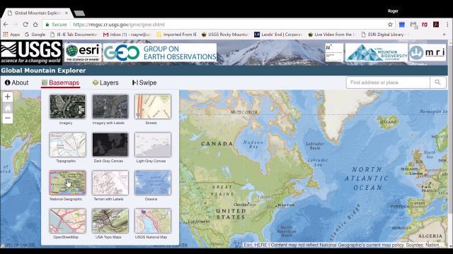
Global Mountain Explorer Video Tutorial
0 Views0 Comments0 Likes
This video contains a narrated introduction to the Global Mountain Explorer (GME), a web-based tool for visualizing and exploring three well known global mountain data layers.
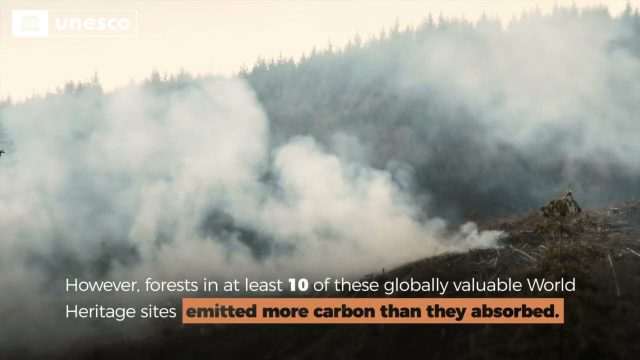
Quantifying Climate Benefits from UNESCO World Heritage Forests
0 Views0 Comments0 Likes
Forests contribute to the global climate system by both emitting and absorbing carbon dioxide (CO2) from the atmosphere. However, our understanding of the transfer of CO2 between forests and the atmosphere at specifi...

Planet Aqua: Solutions from Space for Clean Water
0 Views0 Comments0 Likes
Water is life, on Earth and in space. Dutch ESA astronaut André Kuipers recounts his experience living in space for 204 days, and his time looking back on the blue face of ‘Planet Aqua’, comparing notes with divers a...

2023 Was the Hottest Year on Record
0 Views0 Comments0 Likes
2023 was Earth’s warmest year since 1880, and the last 10 consecutive years have been the warmest 10 on record. But why does NASA, a space agency, look at Earth’s temperature? And how do we even measure global tempera...
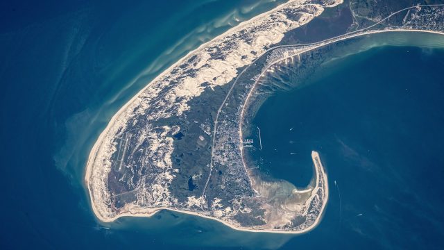
NASA Earth Observatory Goes to the Beach
0 Views0 Comments0 Likes
This video from NASA Earth Observatory shows the satellite and space-station view of various shorelines across the United States.
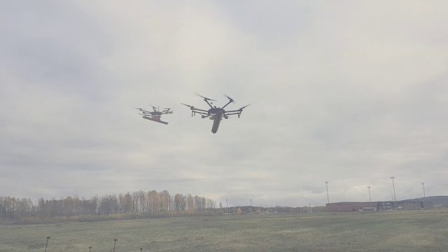
Drone With Ground Penetrating Radar (GPR)
0 Views0 Comments0 Likes
SPH Engineering and Radarteam Sweden AB completed combined tests of a drone equipped with ground-penetrating radar (GPR).
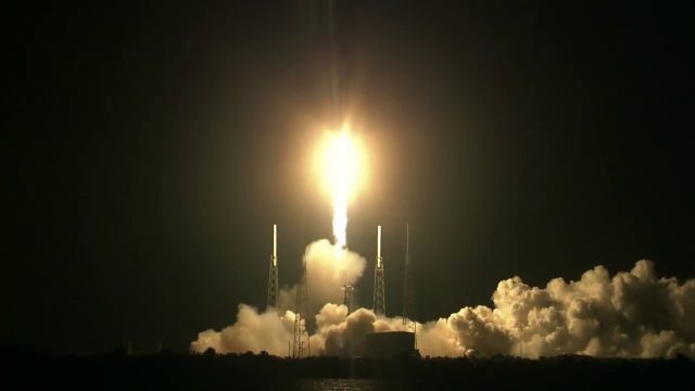
SpaceX CRS-15 Liftoff
0 Views0 Comments0 Likes
The SpaceX CRS-15 Falcon 9 rocket lifts off from Space Launch Complex 40 at Cape Canaveral Air Force Station, sending a Dragon spacecraft on the company's 15th commercial resupply services mission to the International Space Station.


