Category: Found on the Internet
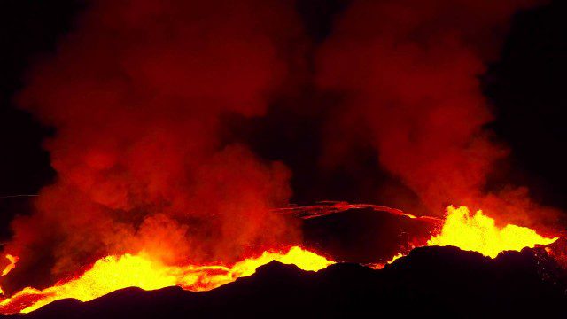
Drones Capture Images of Erupting Iceland Volcano, Part 2
0 Views0 Comments0 Likes
A companion piece to the first DJI Feat, which takes viewers on a journey close to the active lava eruptions of the Bardarbunga volcanic system in remote Iceland. Footage was captured with DJI Phantom 2 quadcopters using Lightbridge for wireless, high-definition remote video.
NOAA’s Advanced Technology Demonstrator
0 Views0 Comments0 Likes
The ATD is a new research radar that combines the benefits of a phased array radar with the benefits of a dual polarization technology.
Can the Next Generation of Satellites Help Predict and Battle Wildfires?
0 Views0 Comments0 Likes
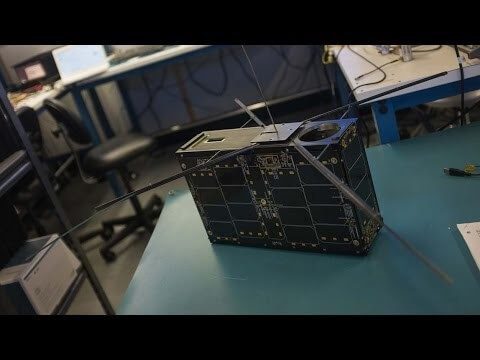
Re/code visits NASA's Silicon Valley research center, where a pair of startups are working together to democratize satellite data. Aquila Space is building a fleet of satellites while its partner Astro Digital is developing software tools that allow anyone to process and analyze the data. Among other things, the information could be used to help inform policy and responses for ecological disasters, including the droughts and wildfires plaguing California.
40 Years of Watching Mount St. Helens
0 Views0 Comments0 Likes
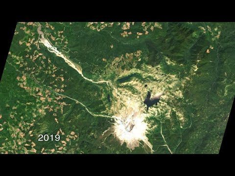
Both before and after the eruption, Landsat satellites were taking regular observations of the area, and their data is being used to study how forests recover from a very large disturbance.
Watch the Latest Water Satellite Unfold Itself in Space
0 Views0 Comments0 Likes
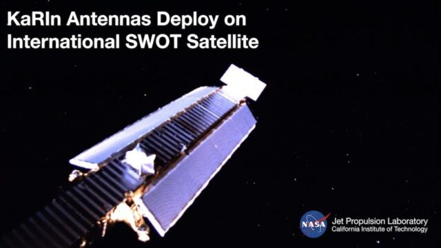
Two cameras aboard the Surface Water and Ocean Topography (SWOT) satellite captured the large mast and antenna panels of the spacecraft’s main science instrument deploying over four days, a process that was completed ...
NASA Tracks COVID-19’s Atmospheric Fingerprint
0 Views0 Comments0 Likes
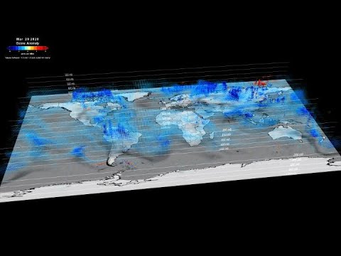
The COVID-19-related lockdowns granted scientists an unexpected and detailed glimpse as to how human activities impact atmospheric composition. Two recent studies, one focusing on nitrogen oxide and the other examinin...
Earth from Space: The Moraines of Malaspina
0 Views0 Comments0 Likes
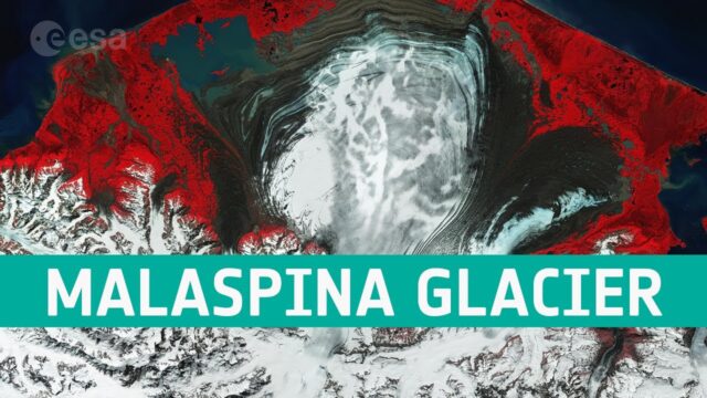
In this week’s edition of the Earth from Space program, we take a look at the remarkable moraine patterns of Malaspina Glacier – the largest piedmont glacier in the world – through the eyes of Copernicus Sentinel-...
MetOp: The Power of Three
0 Views0 Comments0 Likes
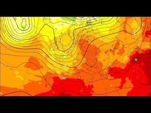
With MetOp-C, the mission continues as a three-satellite constellation, increasing the wealth of data for weather forecasting.
St. Anthony Regional Stormwater Treatment and Research System
0 Views0 Comments0 Likes
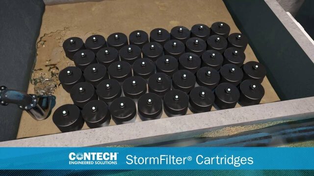
An estimated 169 million gallons of polluted stormwater runoff will be captured and treated each year by this underground facility on the border of Minneapolis and St. Anthony Village. It is projected to cut pollution levels by more than half for stormwater runoff flowing from the southern half of St. Anthony Village to the Mississippi River. Learn more at http://mwmo.org/sav
A New Satellite to Understand How Earth Is Losing Its Cool
0 Views0 Comments0 Likes
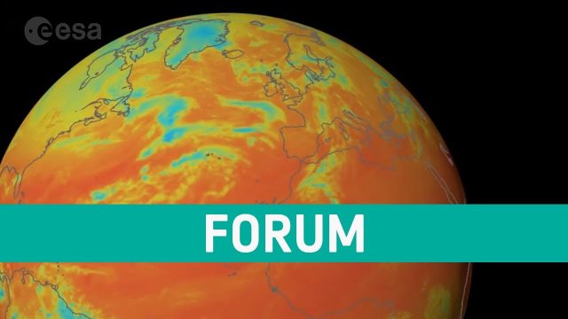
ESA’s Earth Explorer FORUM mission will provide new insight into the planet’s radiation budget and how it is controlled.


