Category: Found on the Internet
A New Era of Earth Science (NASA Trailer)
0 Views0 Comments0 Likes
For more than 50 years, NASA has been collecting and providing data about Earth’s land, water, ice and atmosphere. Now, a new era of Earth Science has begun. NASA will launch a fleet of state-of-the-art satellites for...
ACEC Colorado Award Winner: Data Fusion Predicts Habitat Quality
0 Views0 Comments0 Likes
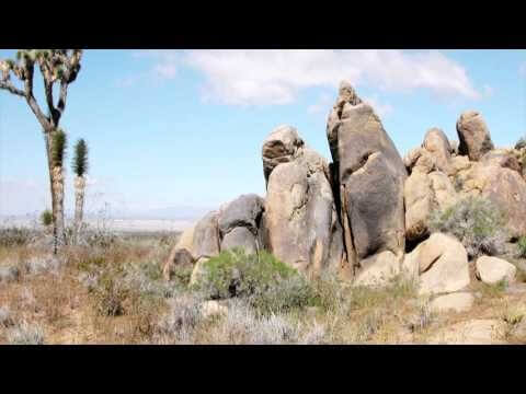
Edwards Air Force Base is located in California’s Mojave Desert, which is home to unique and threatened species such as the desert tortoise, the Joshua tree and desert springparsley. The Air Force monitors impacts of its operations on habitats using multispectral satellite imagery and traditional aerial and field approaches. Hyperspectral imagery and Light Detection and Ranging (LiDAR) remotesensing technologies are being used as more cost-effective methods to collect and analyze spatial data related to habitat quality. Merrick & Company, the primary mapping consultant, was responsible for overall technical implementation, aviation coordination, sensor integration, LiDAR acquisition and point cloud post-processing. Fusing and modeling discreet remotely sensed data from several digital sensors is used to assess habitat quality for inventory and preservation of unique desert species, enabling systematic comparisons to be made over time for effective management of the desert ecosystem. The data also helps to substantiate that operations on Edwards Air Force Base do not degrade habitat quality that may result in the loss of sensitive species in the region.
Map Survey (1965)
0 Views0 Comments0 Likes
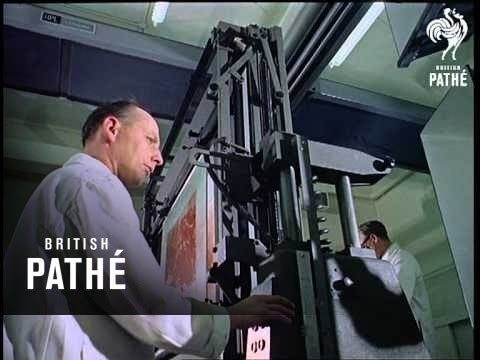
"Britain is the world's greatest map making country" announces the narrator. Various shots of maps being crafted. Large optical devices are used - a camera "as big as a fair sized room" is used to take photographs of the maps. We are at the Ordnance Survey Commission headquarters. Various shots of technicians looking at the large photographs.
Satellite-Based Search and Rescue
0 Views0 Comments0 Likes
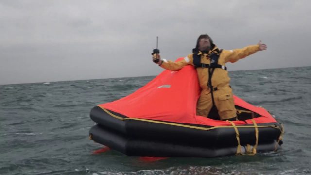
With the launch of Initial Services, Galileo will help search and rescue operators respond to distress signals faster and more effectively while also lowering their own exposure to risk.
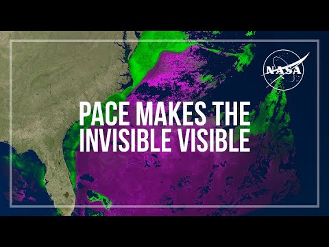
PACE Makes the Invisible Visible
0 Views0 Comments0 Likes
PACE, the Plankton, Aerosol, Cloud and ocean Ecosystem mission, views our entire planet every day, returning data at a cadence that allows scientists to track and monitor the rapidly changing atmosphere and ocean, inc...
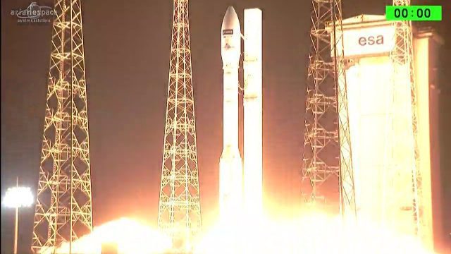
Arianespace Successfully Launches Sentinel-2B
0 Views0 Comments0 Likes
Arianespace has successfully launched the Sentinel-2B satellite for the European Commission within the scope of a contract with the European Space Agency (ESA).
Prescribed Forest Fire Frequency Should Be Based on Land Management Goals
0 Views0 Comments0 Likes
Researchers at the University of Missouri have studied forests subjected to different frequencies of fires to determine what effects fire can have on oak forests over long periods of time.
The YEARS Project: Warming Oceans
0 Views0 Comments0 Likes
Scientists have discovered that the world's oceans are warming 40% faster than we thought. That has dire implications for sea creatures and people.
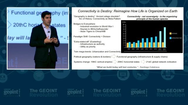
GEOINT Keynote: Parag Khanna, Author on Mapping
0 Views0 Comments0 Likes
The U.S. Geospatial Intelligence Foundation (USGIF) recorded the keynote speech of Parag Khanna, author, “Connectography: Mapping the Future of Global Civilization," at the 2016 GEOINT Symposium on May 16, 2016, in Orlando, Fla.
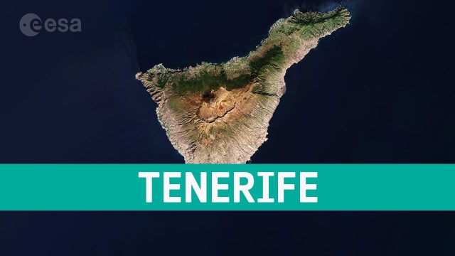
Earth from Space: Tenerife, Canary Islands, Spain
0 Views0 Comments0 Likes
This week's edition of the Earth from Space program features a Copernicus Sentinel-2 image of Tenerife, the largest of Spain’s Canary Islands.


