


Category: Found on the Internet

Mapping an Asteroid with Lasers
0 Views0 Comments0 Likes
The OSIRIS-REx Laser Altimeter (OLA) will provide a three-dimensional map of asteroid Bennu’s shape, which will allow scientists to understand the context of the asteroid’s geography and the sample location. OLA is provided by the Canadian Space Agency in exchange for Canadian ownership of a portion of the returned asteroid sample. Credit: NASA’s Goddard Space flight Center/Katrina Jackson
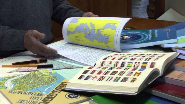
Marina Militare – Hydrography explained to kids
0 Views0 Comments0 Likes
The Navy Hydrographic Institute is the Italian Cartographic Centre designated to the production of official national nautical documents.
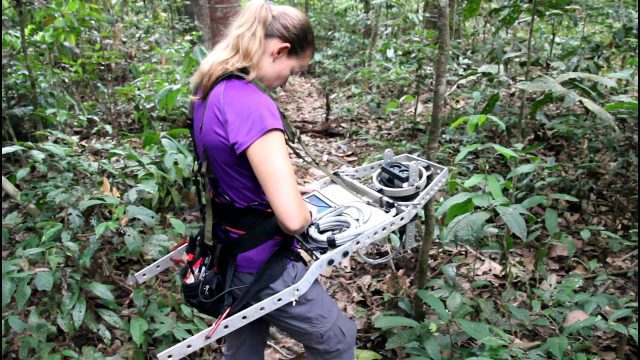
Measuring Forest Structure through a Lidar Lens
0 Views0 Comments0 Likes
Companion video of a New Phytologist paper "Seasonal and drought related changes in leaf area profiles depend on height and light environment in an Amazon forest."
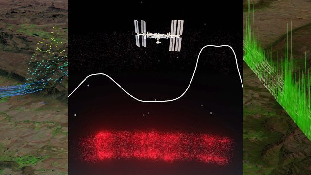
Meet GEDI! The Global Ecosystem Dynamics Investigation Sensor Aboard the ISS
0 Views0 Comments0 Likes
The Global Ecosystem Dynamics Investigation (GEDI) is a full-waveform lidar instrument that produces detailed observations of the three-dimensional structure of the Earth’s surface. GEDI precisely measures forest can...
Meet ICON: NASA’s Airglow Explorer
0 Views0 Comments0 Likes
NASA's Ionospheric Connection Explorer, or ICON, launched on Nov. 7, 2018, and orbits above the upper atmosphere, through the bottom edge of near-Earth space.
Meet the Team Behind EarthCARE
0 Views0 Comments0 Likes
As we approach the launch of ESA’s EarthCARE mission, we caught up with some of the scientists, engineers and experts behind the mission. With the climate crisis increasingly tightening its grip, ESA’s Earth Cloud Aer...

Melting Ice and Rising Seas
0 Views0 Comments0 Likes
As the planet warms and glaciers and polar ice caps melt, the icy world is fast disappearing, says Julian Dowdeswell from the University of Cambridge. He asks how do we deal with rising sea levels and a changing Arctic?
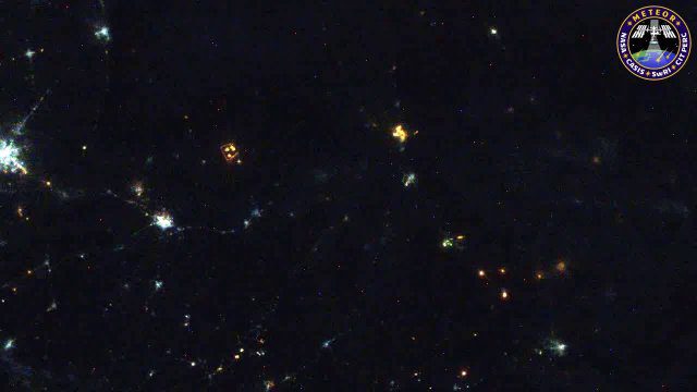
Meteors Encountering Earth’s Atmosphere
0 Views0 Comments0 Likes
This video was acquired August 10, 2016, with a high-resolution video camera onboard the International Space Station (ISS). Within the span of about 10 seconds, two meteors associated with the Perseid meteor shower streak across the sky above Pakistan. Video was provided by Tomoko Arai/Japan’s Planetary Exploration Research Center/Meteor Composition Determination (Meteor) investigation.
Meteosat Third Generation: Painting the Full Picture
0 Views0 Comments0 Likes
In a significant leap forward for meteorology, the preliminary data obtained by Meteosat Third Generation’s two instruments, the Flexible Combined Imager (FCI) and the Lightning Imager (LI), were successfully combined...
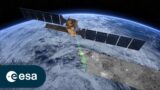
MetOp: The Power of Three
0 Views0 Comments0 Likes
With MetOp-C, the mission continues as a three-satellite constellation, increasing the wealth of data for weather forecasting.


