Category: Found on the Internet
National Forest Monitoring and Assessment Program
0 Views0 Comments0 Likes
The National Forest Monitoring and Assessment program.
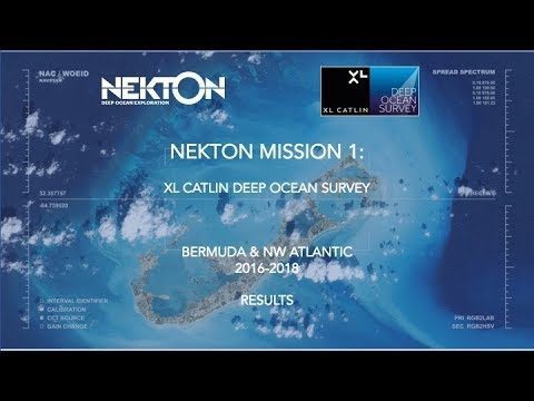
Nekton Mission I – Discovering the Rariphotic Zone
0 Views0 Comments0 Likes
Results from Nekton Mission I – the XL Catlin Deep Ocean Survey confirms the discovery of a new zone in the ocean, the Rariphotic Zone (Rare Light Zone) from 130 meters to 300 meters. The Rariphotic Zone is the fourth zone confirmed in the top 3,000 meters of the ocean, each defined by distinct biological communities living at different depths.
New Supercomputer Simulation Sheds Light on Moon’s Origin
0 Views0 Comments0 Likes
A new NASA and Durham University simulation puts forth a different theory of the Moon’s origin—the Moon may have formed in a matter of hours, when material from the Earth and a Mars sized-body were launched directly i...
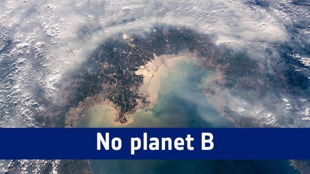
No Planet B
0 Views0 Comments0 Likes
A message from ESA astronaut Alexander Gerst from on board the International Space Station to mark the start COP24, the UN Climate Change Conference taking place in Katowice, Poland.
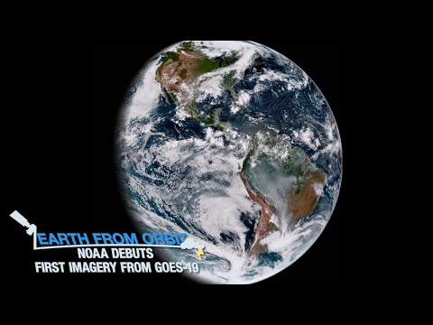
NOAA Debuts First Imagery from GOES-19
0 Views0 Comments0 Likes
On Sept. 18, 2024, NOAA shared the first images of the Western Hemisphere from its GOES-19 satellite. The satellite’s Advanced Baseline Imager (ABI) instrument recently captured stunning views of Earth. GOES-19, N...
NOAA’s Advanced Technology Demonstrator
0 Views0 Comments0 Likes
The ATD is a new research radar that combines the benefits of a phased array radar with the benefits of a dual polarization technology.
NOAA’s SoundScapes
0 Views0 Comments0 Likes
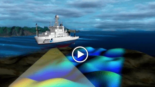
In this episode: in less than three minutes, this video presents the basics about multibeam and side scan sonar, including a visualization that shows how sonar data is used to make products like nautical charts.
OCO-2: NASA’s New Carbon Counter
0 Views0 Comments0 Likes
NASA's OCO-2 mission will shed new light on understanding carbon and its role in our planet's future.
OcuTech 360 Video Mapping
0 Views0 Comments0 Likes
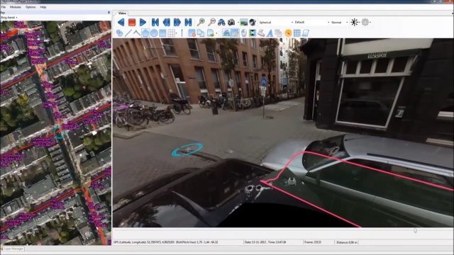
OcuTech 360 is an inclusive provider of 360 degree visual technologies that are applied in geospatial mapping. Thanks to state of the art hardware and software, you can now digitize infrastructure and interact with data in 3D space, take 3D measurements, and annotate. For more info, please visit ocutech360.com or contact [email protected].
Open California: Our Data, Your Creativity
0 Views0 Comments0 Likes
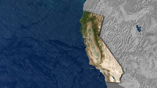
We're releasing our growing California archive under an a CC BY-SA license. Join our community of image analysts, scientists, developers, and researchers: https://www.planet.com/open-california/


