Category: Found on the Internet
Kīlauea Volcano’s Lower East Rift Zone
0 Views0 Comments0 Likes
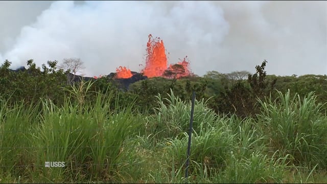
This video from May 21, 2018, shows how splashing and spattering lava builds cones around fissure sites in Kīlauea Volcano's lower East Rift Zone.
Landing on a Comet – The Rosetta Mission
0 Views0 Comments0 Likes
After a 10-year journey of some seven billion kilometres, the Rosetta mission is now heading towards its next major milestone – setting the lander Philae on a comet. On 12 November 2014, a lander is scheduled to touch down on a comet for the first time in the history of spaceflight. “We don’t know exactly what awaits us there,” says lander Project Manager Stephan Ulamec from the German Aerospace Center (Deutsches Zentrum für Luft- und Raumfahrt; DLR).
Landsat Tracks Mount St. Helens Recovery
0 Views0 Comments0 Likes
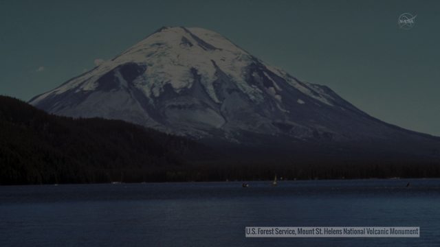
By observing different wavelengths of light reflected off the surface, Landsat data can identify different types of land cover.
Landsat: Farming Data From Space
0 Views0 Comments0 Likes
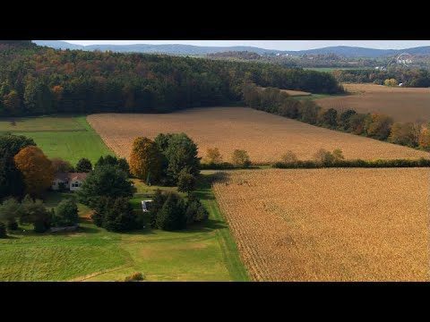
NASA's fleet of satellites has been watching over Earth for more than half a century, collecting valuable data about the crops that make up our food supply and the water it takes to grow them. This wealth of information allows scientists to monitor farmland—tracking the overall food supply, where specific crops are grown, and how much water it takes to grow them with data from the Landsat satellites and others
Landsat’s View of Crops from Space, in Music
0 Views0 Comments0 Likes
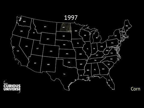
In this video, you can hear Landsat's view of crops from space in the form of a song, called a data sonification.
Launch of Trimble Ag Software
0 Views0 Comments0 Likes
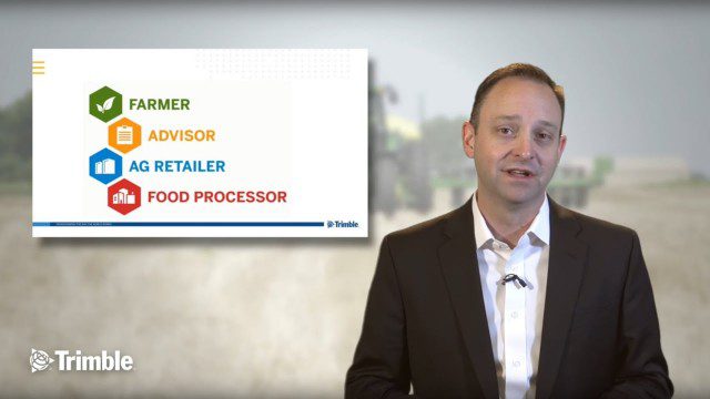
Ben Allen, enterprise solutions lead for Trimble Agriculture, explains how Trimble’s new farm data management platform—Trimble Ag Software—simplifies management of data and helps farmers make informed, timely decisions.
LiDAR – Introduction to Light Detection and Ranging
0 Views0 Comments0 Likes
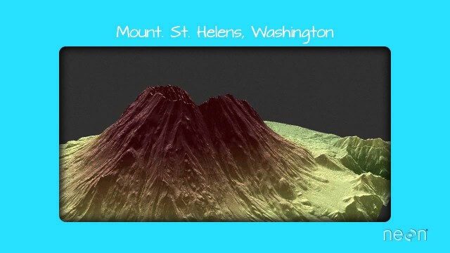
This video presents LiDAR of light detection and ranging, an active remote sensing system that uses laser energy, to measure the heights of objects like trees and buildings and even the ground. This video was developed by the National Ecological Observatory Network (www.neoninc.org).
Liftoff for Crew-7 Aboard Crew Dragon Spacecraft Endurance
0 Views0 Comments0 Likes
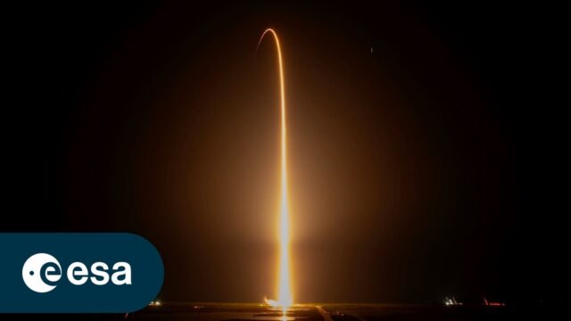
On Aug. 26, 2023, Crew-7 aboard the Crew Dragon spacecraft Endurance embarked on a journey to the International Space Station. Watch the full coverage of their launch from pad 39A at Kennedy Space Center in Florida. ...
Liftoff of SpaceX CRS-10
0 Views0 Comments0 Likes
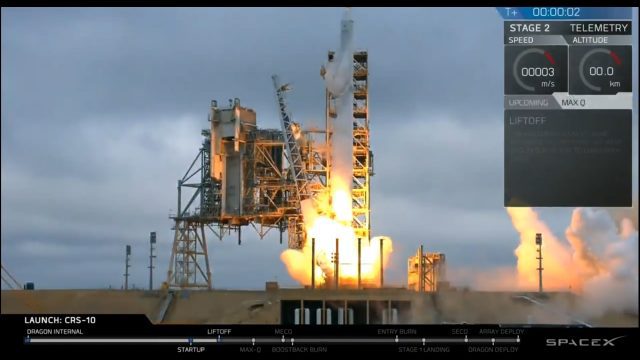
The SpaceX Falcon 9 rocket launches from Launch Complex 39A at Kennedy Space Center in Florida. The launch vehicle is carrying a Dragon spacecraft on SpaceX CRS-10, the company's tenth commercial resupply services mission to deliver cargo to the International Space Station.
Listening to the Amazon: Tracking Deforestation Through Sound
0 Views0 Comments0 Likes
From space, parts of the Amazon rainforest that have previously been logged or burned may look lush and green, like a place buzzing with activity and full of sounds. But inside the rainforest, the animal life may tell...


