Category: Found on the Internet
Listening to the Amazon: Tracking Deforestation Through Sound
0 Views0 Comments0 Likes
From space, parts of the Amazon rainforest that have previously been logged or burned may look lush and green, like a place buzzing with activity and full of sounds. But inside the rainforest, the animal life may tell...
Living History: The John Feathers Map Collection
0 Views0 Comments0 Likes
LAPL Map Librarian Glen Creason tells the tale of an amazing hidden map collection that doubled the library's archive in a single day. http://lareviewofbooks.org/av/
Location Tracking and Advertising
0 Views0 Comments0 Likes
A video from The Economist describes how location technology is used to track online viewers.
Make Every Day ‘GIS Day’
0 Views0 Comments0 Likes
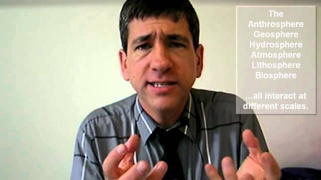
GIS in education offers key skills and advantages, such as critical thinking, workforce competencies, working with data, holistic thinking, inquiry, and much more.
Make It Wearable Finalists: Meet Team Nixie
0 Views0 Comments0 Likes
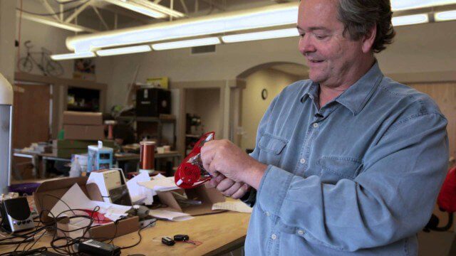
Team Nixie (http://flynixie.com) is developing the first wearable drone camera, which can be worn around your wrist. The team will be presenting their prototype for the Intel Make It Wearable Challenge Finale on November 3, 2014 in San Francisco. Learn more about Make It Wearable and follow the race to the finish line at http://makeit.intel.com. To find out more about Team Nixie, see their work at http://flynixie.com or follow them on https://www.facebook.com/flynixie.
Maker Trailer: A Documentary on the Maker Movement
0 Views0 Comments0 Likes
"Maker" is a feature-length documentary that looks into the current maker movement in America -- a new wave of Do-It-Yourself and Do-It-Together fueled by passion and powered by the advent of new technologies. The "Maker Movement", sometimes called the "Third Industrial Revolution," subverts traditional manufacturing by building on innovative concepts such as open source, local manufacturing, crowd funding, and digital fabrication. Breaking the hobbyist movement stereotype, "Maker" delves deep into this ecosystem of design and manufacturing in the Internet era. The film explores the ideas, tools, and personalities that are driving the Maker Movement -- and returns with a timely snapshot of one of the transforming influences of the current age.
Making Forest Information Systems Work for REDD+ and Beyond
0 Views0 Comments0 Likes
Watch this discussion forum from the second day of the Global Landscapes Forum 2014, in Lima, Peru, during COP20. More and more countries have established and institutionalized sustainable, long-term and multi-purpose information systems in the context of REDD+ to support well-informed national policy formulation and decision making at different levels, and to meet national and international reporting needs. This panel discusses if they are used beyond estimating carbon stocks, how they improve global estimates and information, and how they can be most cost effective.
Map Survey (1965)
0 Views0 Comments0 Likes
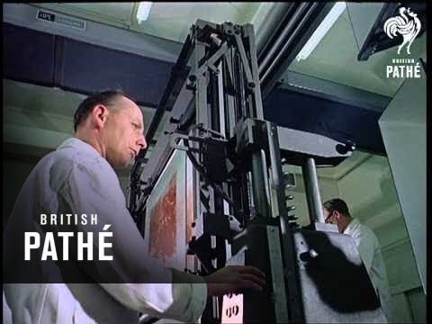
"Britain is the world's greatest map making country" announces the narrator. Various shots of maps being crafted. Large optical devices are used - a camera "as big as a fair sized room" is used to take photographs of the maps. We are at the Ordnance Survey Commission headquarters. Various shots of technicians looking at the large photographs.


