


Category: Found on the Internet
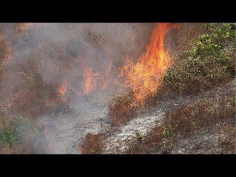
NASA and NOAA Take to the Air to Chase Smoke
0 Views0 Comments0 Likes
NASA, NOAA and university partners are taking to the skies, and the ground, to chase smoke from fires burning across the United States.
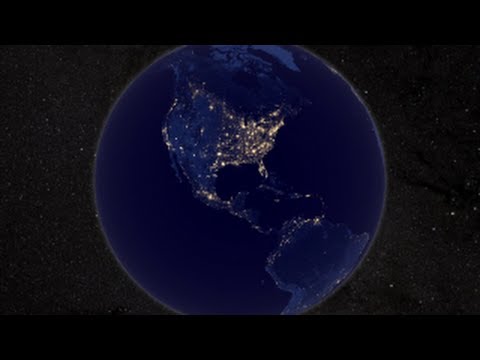
NASA Earth at Night
0 Views0 Comments0 Likes
In daylight our big blue marble is all land, oceans and clouds. But the night - is electric. This view of Earth at night is a cloud-free view from space as acquired by the Suomi National Polar-orbiting Partnership Satellite (Suomi NPP).
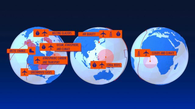
NASA Earth Expeditions: An Animated Tour
0 Views0 Comments0 Likes
NASA takes you on a world tour with this animation as we kick off major new field campaigns to study regions of critical change from land, sea and air.
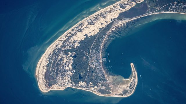
NASA Earth Observatory Goes to the Beach
0 Views0 Comments0 Likes
This video from NASA Earth Observatory shows the satellite and space-station view of various shorelines across the United States.
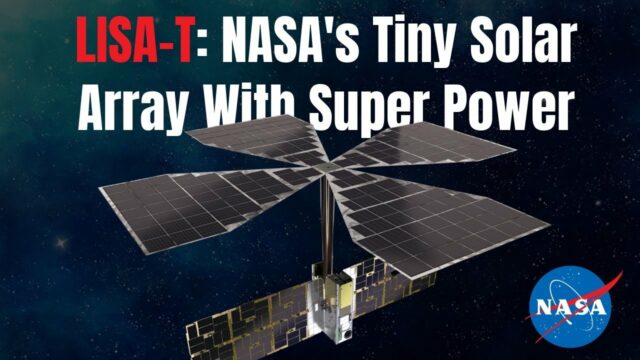
NASA Expert Describes Agency’s Tiny Solar Array With Super Power
0 Views0 Comments0 Likes
NASA teams are testing a key technology demonstration known as LISA-T, short for the Lightweight Integrated Solar Array and anTenna. It’s a super compact, stowable, thin-film solar array that when fully deployed in sp...
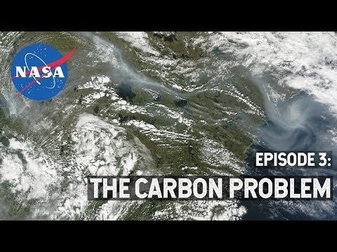
NASA Explorers S3 E3: The Carbon Problem
0 Views0 Comments0 Likes
In the Arctic, fires are a natural part of the ecosystem. But as the climate changes, fires are burning longer and hotter, releasing long-buried carbon from the soil.
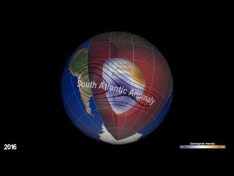
NASA Explores Earth’s Magnetic ‘Dent’
0 Views0 Comments0 Likes
Earth’s magnetic field acts like a protective shield around the planet, repelling and trapping charged particles from the Sun. But over South America and the southern Atlantic Ocean, an unusually weak spot in the field – called the South Atlantic Anomaly, or SAA – allows these particles to dip closer to the surface than normal.
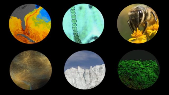
NASA Explores Earth’s Connections
0 Views0 Comments0 Likes
NASA explores the connections of Earth systems and its ability to observe them in a changing world, highlighting the links between dust transport, vegetation, water quality, conservation and human health, the cryosphere, and disasters.
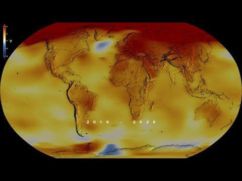
NASA Finds 2020 Tied for Hottest Year on Record
0 Views0 Comments0 Likes
Globally, 2020 was the hottest year on record, effectively tying 2016, the previous record.
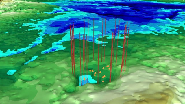
NASA Finds Second Massive Greenland Crater
0 Views0 Comments0 Likes
A NASA-led team discovered the feature using satellite data of the surface of the Greenland Ice Sheet as well as radar measurements from the airborne campaign Operation IceBridge.


