Category: Found on the Internet
Earth’s Iconic Waves, Observed by Landsat
0 Views0 Comments0 Likes
The broad perspective from satellites shows the landscapes and seascapes surrounding some of the world's tallest, longest, fastest, and heaviest waves.
Esri Business Summit: Axel Bedikyan, Cirque du Soleil
0 Views0 Comments0 Likes
Cirque du Soleil turned to ArcGIS when they needed to drive business results. This vibrant company known for its high quality entertainment feels the same care and attention to detail they put into their business is mirrored in Esri’s solutions.
Translating Airborne Electromagnetic Data into Geological Understanding
0 Views0 Comments0 Likes
In this Geoscience Australia Snapshot video, Dr Ian Roach from Geoscience Australia gives an overview of the benefits of using airborne electromagnetic (AEM) survey data. This survey technique is a key tool for mapping geology undercover and has potential implications for understanding the energy, minerals and regional geology of the survey area.
ExoMars – A Promising Future
0 Views0 Comments0 Likes
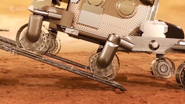
2016 has been an eventful and promising year for ESA’s ExoMars mission. After successfully placing the Trace Gas Orbiter into Mars’ orbit on Oct. 19, the orbiter has sent back its first images, tested its instruments and performed in orbit calibration measurements and health checks.
Arctic Sea Ice Near Historic Low; Antarctic Ice Continues Decline
0 Views0 Comments0 Likes
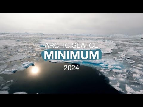
This summer, Arctic sea ice decreased to a its minimum extent on Sept. 11, 2024. According to the National Snow and Ice Data Center this is the 7th lowest in the satellite record. The decline continues the long-term t...
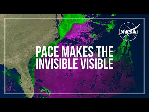
PACE Makes the Invisible Visible
0 Views0 Comments0 Likes
PACE, the Plankton, Aerosol, Cloud and ocean Ecosystem mission, views our entire planet every day, returning data at a cadence that allows scientists to track and monitor the rapidly changing atmosphere and ocean, inc...
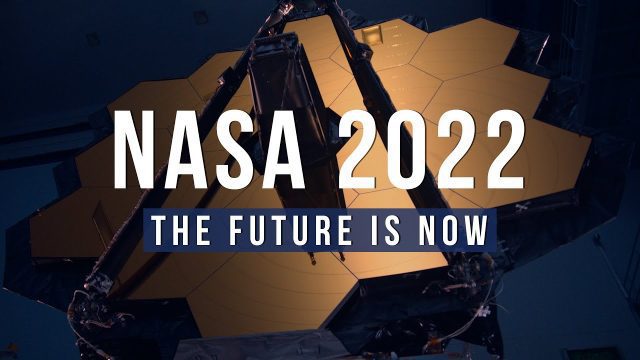
NASA 2022: The Future is Now
0 Views0 Comments0 Likes
Receiving the first images from the James Webb Space Telescope, sending the first uncrewed Artemis mission around the Moon and back to Earth, sending NASA science and technology to the surface of the Moon on three mi...
What Does a Warming Arctic Mean for the Future?
0 Views0 Comments0 Likes
The Arctic is experiencing disproportionately higher temperature increases compared to the rest of the planet, triggering a series of cascading effects. This rapid warming has profound implications for global climate ...
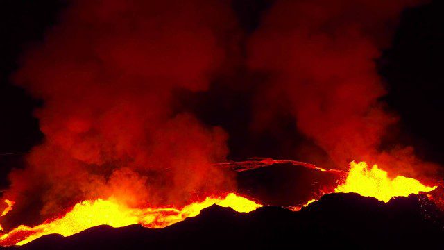
Drones Capture Images of Erupting Iceland Volcano, Part 2
0 Views0 Comments0 Likes
A companion piece to the first DJI Feat, which takes viewers on a journey close to the active lava eruptions of the Bardarbunga volcanic system in remote Iceland. Footage was captured with DJI Phantom 2 quadcopters using Lightbridge for wireless, high-definition remote video.
The London Evolution Animation
0 Views0 Comments0 Likes
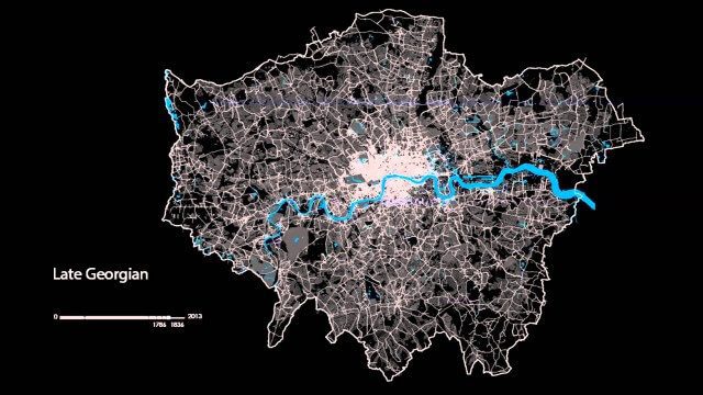
The London Evolution Animation (LEA) shows the historical development of London from Roman times to today, using georeferenced road network data brought together for the first time. The animation also visualizes (as enlarging yellow points) the position and number of statutorily protected buildings and structures built during each period.


