Category: Found on the Internet
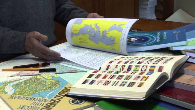
Marina Militare – Hydrography explained to kids
0 Views0 Comments0 Likes
The Navy Hydrographic Institute is the Italian Cartographic Centre designated to the production of official national nautical documents.
Professor Lauren Gardner Discusses How the COVID-19 Dashboard is Built and Maintained
0 Views0 Comments0 Likes
The COVID-19 dashboard built by the Center for Systems Science and Engineering (CSSE) at Johns Hopkins University gets over a billion requests a day from around the world. Since its creation in late January 2020, it h...
Earth from Space: Houston
0 Views0 Comments0 Likes
In this week's edition of the Earth from Space program, the Copernicus Sentinel-1 mission takes us over Houston, the most populous city in Texas and the fourth largest in the United States.
SmallSats are the Next Big Thing
0 Views0 Comments0 Likes
NASA is about to launch six new next-generation Earth-observing small satellites — some as small as a loaf of bread. These tiny spacecraft are helping to foster creative and cost-effective approaches to studying our planet.
Ultra High Definition (4K) View of Planet Earth
0 Views0 Comments0 Likes
NASA monitors Earth's vital signs from land, air and space with a fleet of satellites and ambitious airborne and ground-based observation campaigns.
SpaceX Falcon 9 Liftoff with TESS
0 Views0 Comments0 Likes
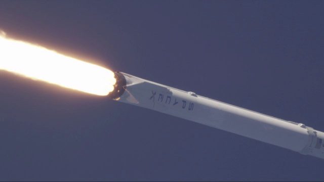
A Falcon 9 rocket lifts off at 6:51 p.m. EDT from Space Launch Complex 40 at Cape Canaveral Air Force Station carrying NASA's Transiting Exoplanet Survey Satellite (TESS).
NASA 2022: The Future is Now
0 Views0 Comments0 Likes
Receiving the first images from the James Webb Space Telescope, sending the first uncrewed Artemis mission around the Moon and back to Earth, sending NASA science and technology to the surface of the Moon on three mi...
ICESat-2 Adds Third Dimension to Earth
0 Views0 Comments0 Likes
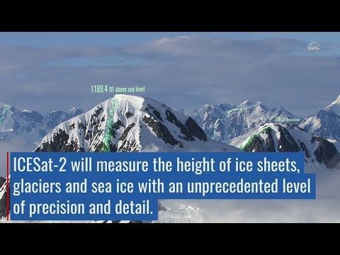
ICESat-2 will provide scientists with height measurements that create a global portrait of Earth's third dimension, gathering data that can precisely track changes of terrain including glaciers, sea ice, forests and more.
Landsat’s View of Crops from Space, in Music
0 Views0 Comments0 Likes
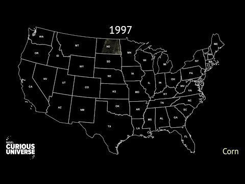
In this video, you can hear Landsat's view of crops from space in the form of a song, called a data sonification.
Engineers Analyze Post-Earthquake Conditions in Himalayas
0 Views0 Comments0 Likes
Following the M-7.8 earthquake here in April 2015, Dr. Kit Miyamoto and an assessment team traversed the Himalayas, analyzing post-earthquake conditions on popular trekking trails.


