
Browse Archives
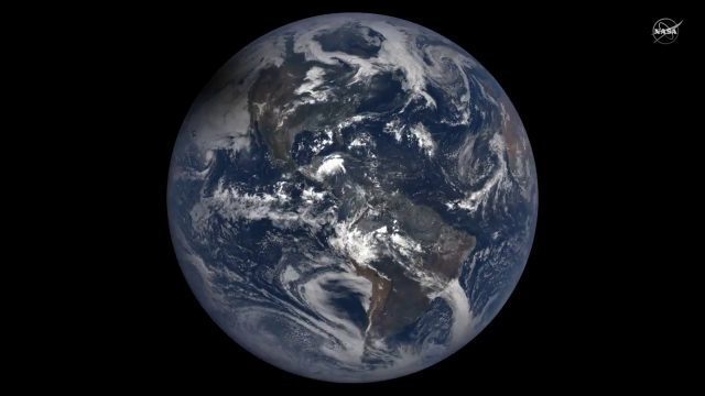
2017 Solar Eclipse Shadow Seen from Million Miles Away
0 Views0 Comments0 Likes
The moon's shadow (umbra) crossed the continental United States on Aug. 21, 2017 and NASA's DSCOVR satellite's Earth Polychromatic Imaging Camera (EPIC) captured imagery.
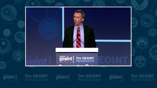
GEOINT Keynote: Marcel Lettre, Under Secretary of Defense for Intelligence
0 Views0 Comments0 Likes
The U.S. Geospatial Intelligence Foundation (USGIF) recorded the keynote speech of Marcel Lettre, Under Secretary of Defense for Intelligence, at the 2016 GEOINT Symposium on May 16, 2016, in Orlando, Fla.
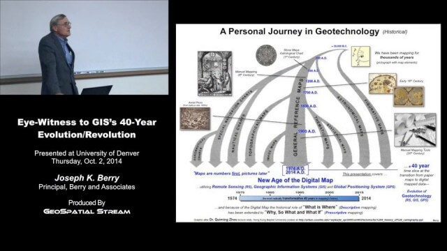
Joe Berry’s “Eye-Witness to GIS’s 40-Year Evolution/Revolution” Presentation
0 Views0 Comments0 Likes
In the 40 years since the development of the digital map, what a map is (and isn’t) has greatly evolved. This presentation describes Joe Berry’s personal journey in geotechnology as a student, professor, consultant, software developer and entrepreneur. The insight is as relevant for the next generation of GIS’ers as it is to GIS cohorts who moved beyond mapping to “thinking with maps” and the boundless opportunities for integrating the new spatial paradigm into science, workplaces and daily lives.
CubeSat to Test Miniaturized Weather Satellite
0 Views0 Comments0 Likes
Behind every weather forecast—from your local, five-day prediction to a late-breaking hurricane track update—are the satellites that make them possible.
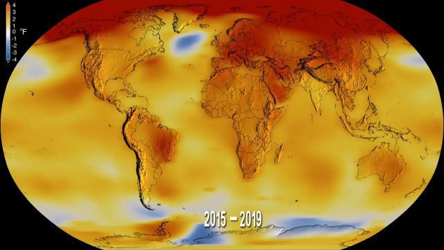
2019 Was the Second-Hottest Year on Record
0 Views0 Comments0 Likes
Earth's global surface temperatures in 2019 ranked second-warmest since 1880, according to independent analyses by NASA and the National Oceanic and Atmospheric Administration (NOAA).
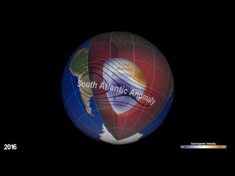
NASA Explores Earth’s Magnetic ‘Dent’
0 Views0 Comments0 Likes
Earth’s magnetic field acts like a protective shield around the planet, repelling and trapping charged particles from the Sun. But over South America and the southern Atlantic Ocean, an unusually weak spot in the field – called the South Atlantic Anomaly, or SAA – allows these particles to dip closer to the surface than normal.
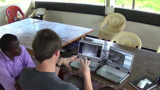
Poachers Beware: Airware Demonstrates a Drone to Protect African Rhinos
0 Views0 Comments0 Likes

Richard Humphrey Autodesk Interview (Short Version)
0 Views0 Comments0 Likes
In this condensed version, Todd Danielson interviews Richard Humphrey, senior director, Infrastructure Products, Autodesk. They discuss how technology can help "bridge the gaps" in infrastructure spending, simulation services, and large-scale modeling.

PortMaps – Kaarten en Havenbedrijf Rotterdam
0 Views0 Comments0 Likes
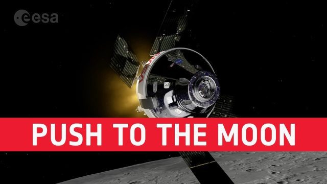
European Push to the Moon
0 Views0 Comments0 Likes
The European Space Agency is playing a vital role in humankind’s return to the Moon. In a few months @NASA will launch Artemis I from the Kennedy Space Center. The uncrewed mission will carry NASA’s Orion spacecraft ...


