
Browse Archives
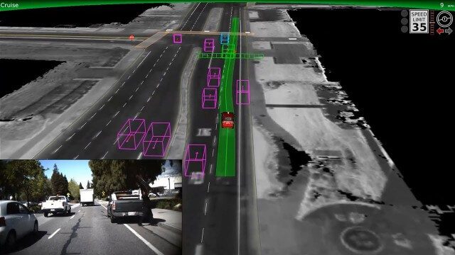
Google Self-Driving Car on City Streets
0 Views0 Comments0 Likes
The Google self-driving car navigates some common scenarios on city streets near the Googleplex.
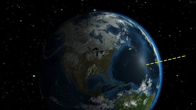
NASA Looks to Solar Eclipse to Help Understand Earth’s Energy System
0 Views0 Comments0 Likes
During the August 21, 2017 total solar eclipse, scientists will use the Earth Polychromatic Imaging Camera (EPIC) on the Deep Space Climate Observatory satellite (DSCOVR), along with measurements taken from within the moon's shadow on the ground, to test a new model of Earth's energy budget.
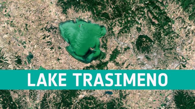
Earth from Space: Lake Trasimeno
0 Views0 Comments0 Likes
In this week's edition of the Earth from Space program, the Copernicus Sentinel-2 mission takes us over Lake Trasimeno, the fourth largest lake in Italy.
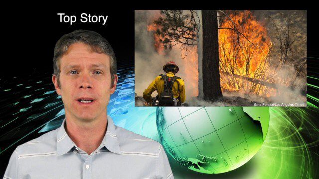
7_9 Earth Imaging Broadcast (California Fires, Drone Mayhem and More)
0 Views0 Comments0 Likes
This Earth Imaging-themed GeoSpatial Stream broadcast discusses the California Lake Fire and its mapping by satellites as well as amateur drone use that disrupted firefighting; NASA's work to develop drones with sense-and-avoid systems; satellite sensors using gravity to detect depleting groundwater basins; electromagnetic survey data for geology; industry news from Orbit Logic, 4D Mapper and Lockheed Martin; thoughts on amateur drone use; and more.
Las Vegas Broadcast 12_2 (Autodesk University, UAV economic impact, Great Barrier Reef map, ancient maps and more)
0 Views0 Comments0 Likes
This Daily Digest from 12/2 covers topics such as Autodesk University in Las Vegas, the economic impact of UAVs, ancient maps, imagery partnerships, climate change and more.

White House Innovation for Disaster Response and Recovery Demo Day
0 Views0 Comments0 Likes
The White House hosts an event bringing together technologists, entrepreneurs, and members of the disaster response community to showcase tools that will make a tangible impact in the lives of survivors of large-scale emergencies.
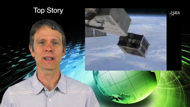
5_26 Asia Pacific Broadcast (DIWATA-1, Apple Maps and More)
0 Views0 Comments0 Likes
This Asia Pacific-themed GeoSpatial Stream broadcast covers the recent launch of DIWATA-1, The Philippines' first microsatellite; Australia's move toward more-accurate GNSS navigation at its airports; Apple opening a technical and support center in Hyderabad, India, for its Maps and navigation services; industry news from NTT Data, LizardTech, BJ Open Tide BoGan, Ozius Spatial and U-blox; a video clip from JAXA (in Japanese) about weather monitoring; and more.

60 Years Since Sputnik
0 Views0 Comments0 Likes
Sixty years ago, Sputnik became the first satellite in space and changed the world forever. Launched by the Soviet Union on Oct. 4, 1957, this shiny orb kick-started the space race, and opened up the heavens for mankind to explore.
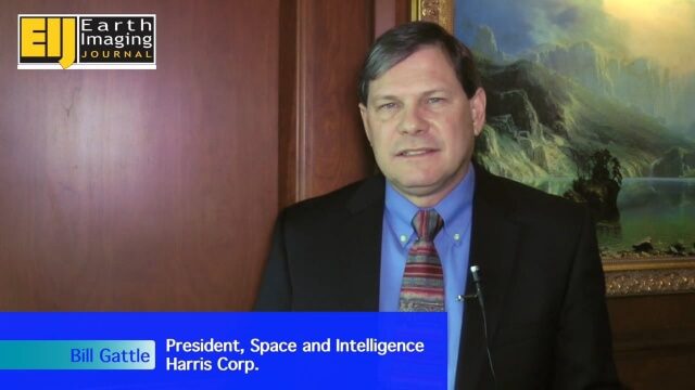
A Revolution in the Value of Remote Sensing
0 Views0 Comments0 Likes
The V1 Video team interviewed Bill Gattle, President of Space and Intelligence at Harris Corp., at the 32nd Space Symposium held April 11-14, 2016, in Colorado Springs, Colo. He discusses the worldwide value transformation seen in remote sensing, the company's doubling in size with its acquisition of Exelis and the efforts to make that an effective transition, and the growing importance of the GEOINT space.

Esri’s Director of Solutions Discusses Apps, Simplicity and Passion
0 Views0 Comments0 Likes
Todd Danielson interviews Damian Spangrud, Director of Solutions, Esri, at the 2014 Esri User Conference in San Diego. They discuss what it's like working at Esri, the tools needed to create a public-facing GIS app and "never underestimating how simple things need to be."


