
Browse Archives
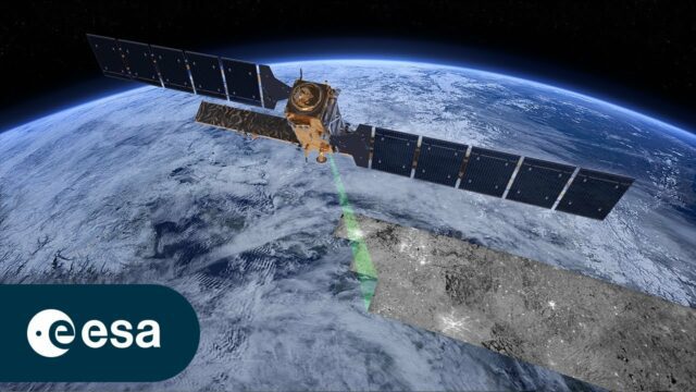
Copernicus Sentinel-1: Radar Vision for Copernicus
0 Views0 Comments0 Likes
Meet Copernicus Sentinel-1. This ground-breaking mission delivers continuous, all-weather, day-and-night imaging for land, ice and maritime monitoring. Equipped with state-of-the-art C-band synthetic aperture radar...

Richard Humphrey Interview (Full-Length Version)
0 Views0 Comments0 Likes
Todd Danielson interviews Richard Humphrey, senior director, Infrastructure & Collaboration Products, Autodesk. They discuss how technology can help "bridge the gaps" in infrastructure spending, the Autodesk infrastructure product suite, simulation services, information unification, rules-based design platforms, large-scale modeling, and Autodesk's ReCap product.
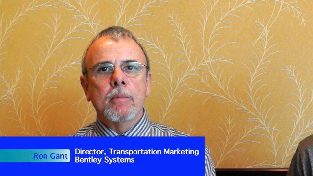
Bentley’s Ron Gant Discusses Roads and Recent Acquisitions
0 Views0 Comments0 Likes
Ron Gant is the Director of Transportation Marketing at Bentley Systems, and he spoke with V1 Media's Todd Danielson at SPAR International, which was held March 30-April 2, 2015, in Houston, Texas. They discussed the transportation industry and Bentley's role there, asset management, Bentley's acquisition of Acute3D, the value of hosting an event in Houston, and more.
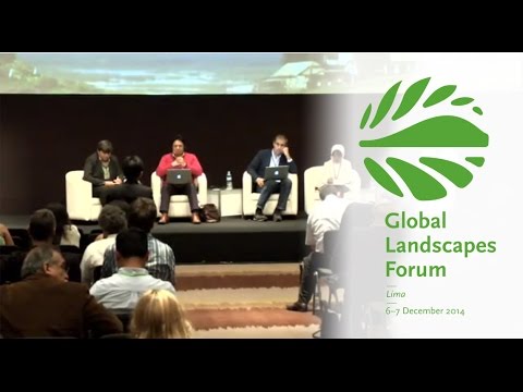
Making Forest Information Systems Work for REDD+ and Beyond
0 Views0 Comments0 Likes
Watch this discussion forum from the second day of the Global Landscapes Forum 2014, in Lima, Peru, during COP20. More and more countries have established and institutionalized sustainable, long-term and multi-purpose information systems in the context of REDD+ to support well-informed national policy formulation and decision making at different levels, and to meet national and international reporting needs. This panel discusses if they are used beyond estimating carbon stocks, how they improve global estimates and information, and how they can be most cost effective.

Get Ready for the 2017 Solar Eclipse
0 Views0 Comments0 Likes
On Monday, August 21, 2017, our nation will be treated to a total eclipse of the sun.
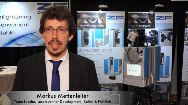
Simon Kresser and Markus Mettenleiter (Z+F) Interview
0 Views0 Comments0 Likes
Matt Ball interviews Zoller and Fröhlich's Simon Kresser, Marketing, and Markus Mettenleiter, Team Leader, Laserscanner Development, at SPAR International in Colorado Springs, Colo. They discuss Z+F's new laserscanner features and accessories, company goals, a product tour, thermal cameras and uses, and more.
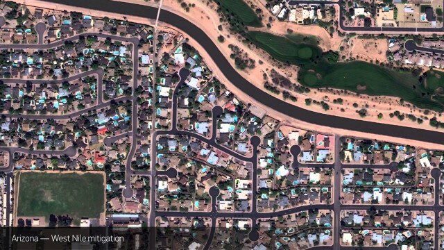
Satellite Imagery to Catch Environmental Changes
0 Views0 Comments0 Likes
How governments are using high-resolution satellite imagery to catch environmental issues before they become health hazards - and EPA fines.
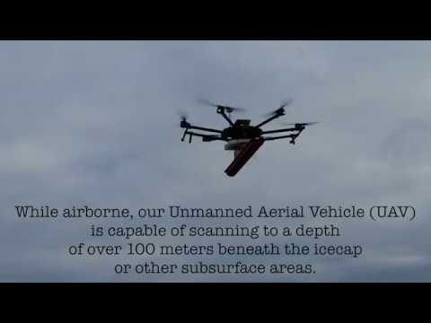
Drone with Ground Penetrating Radar (GPR)
0 Views0 Comments0 Likes
GPR Drone technology can be used in areas where deep ground penetration is required but high resolution is not very important.
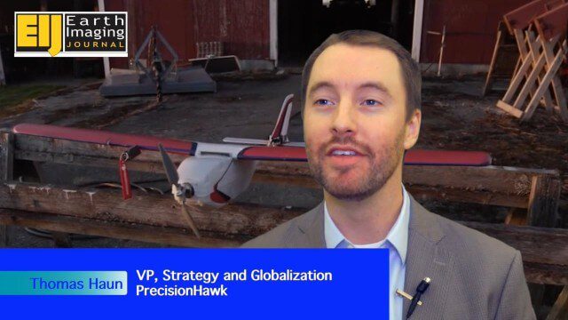
PrecisionHawk Making a Marketplace for UAS Data Management and Analysis
0 Views0 Comments0 Likes
The V1 Video team spoke with Thomas Haun, vice president of strategy and globalization at PrecisionHawk, at the recent Commercial UAV Expo. PrecisionHawk has developed a fixed-wing UAS as well as an online data management and analysis platform to help data collectors provide insight. We talked about the agriculture market, the flexibility of using different sensor payloads and acting on information.

NASA/JAXA GMI Sensor for Precipitation Measurement
0 Views0 Comments0 Likes
On March 10, the Core Observatory passed over an extra-tropical cyclone On March 10, the Core Observatory passed over an extra-tropical cyclone about 1055 miles (1700 kilometers) due east of Japan's Honshu Island. Satellite data shows the full range of precipitation in the storm.


