
Browse Archives
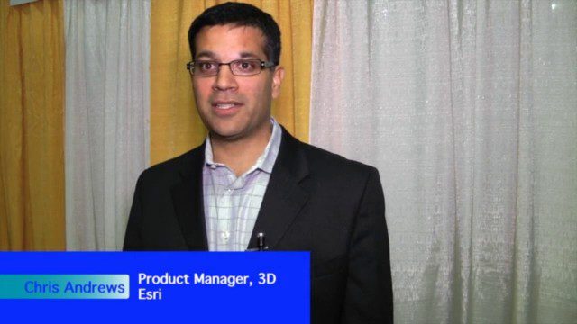
The Unveiling of ArcGIS Earth
0 Views0 Comments0 Likes
The V1 Video team interviewed Chris Andrews, product manager for 3D at Esri, at the GEOINT Symposium in Washington, D.C. We spoke about the new ArcGIS Earth immersive global viewer as well as how 3D is being delivered across Esri’s product line. We spoke about the distinction between desktop and apps, and how an incredible wave of 3D data capture will extend the value of visualization.
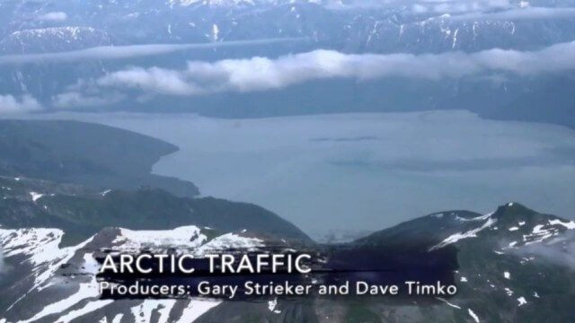
Arctic Traffic
0 Views0 Comments0 Likes
As climate change melts sea ice and opens the Arctic Ocean to more shipping and oil exploration, marine mammals and native people in small boats are at risk. Watch this video from This American Land and then read a related article from Earth Imaging Journal at http://eijournal.com/print/articles/monitoring-polar-changes-scientists-deploy-many-tools-to-measure-sea-ice-thickness to learn more on this topic.
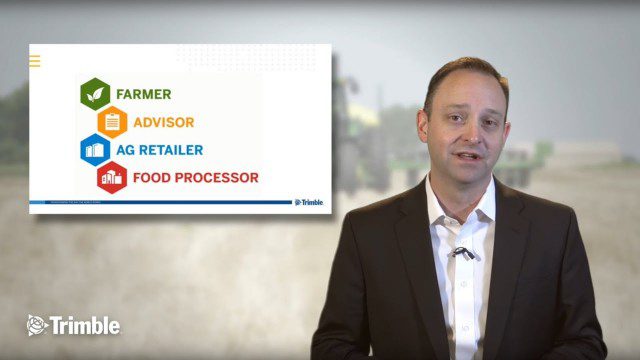
Launch of Trimble Ag Software
0 Views0 Comments0 Likes
Ben Allen, enterprise solutions lead for Trimble Agriculture, explains how Trimble’s new farm data management platform—Trimble Ag Software—simplifies management of data and helps farmers make informed, timely decisions.
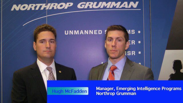
Decision Advantage through Data Analysis
0 Views0 Comments0 Likes
The V1 Video team interviewed Hugh McFadden, manager of Emerging Intelligence Programs, and Stephen Ryan, senior mission engineer with the Intelligence, Surveillance and Reconnaissance Division, both at Northrop Grumman, at the GEOINT Symposium in Washington, D.C. The pair work closely together on solutions to enhance intelligence gathering focused on threats. We discussed automation vs. human cognitive reasoning as well as conditioning sensor information—exploiting and integrating their inputs.
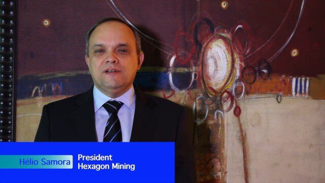
Hexagon Mining Creating Solutions for “Life of Mine”
0 Views0 Comments0 Likes
V1 Media and GeoSpatial Stream attended HxGN Live, Hexagon's annual user conference, at the MGM Grand in Las Vegas from June 1-4, 2015. They interviewed Hélio Samora, President of Hexagon Mining, who discussed the company's "life of mine" strategy, sensor and system integration, mine safety and synergy at Hexagon.

Microsoft’s Nancy Li Talks about Mixed Reality in Construction
0 Views0 Comments0 Likes
Todd Danielson, the editorial director of Informed Infrastructure, interviewed Nancy Li, Microsoft's global head of partnerships and industry solutions for its Mixed Reality and AI Perception Group.
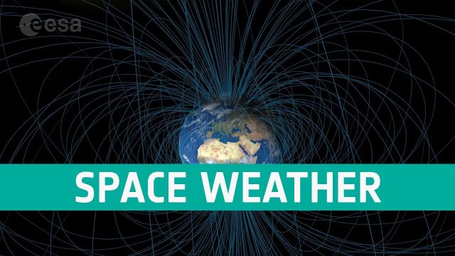
Space Weather Could Be Worse in the North
0 Views0 Comments0 Likes
Instead of a symmetrical distribution of energy between the northern and southern hemispheres through the year, scientists have used data from ESA’s Swarm mission, to discover that electromagnetic energy is preferentially channelled to the northern hemisphere.
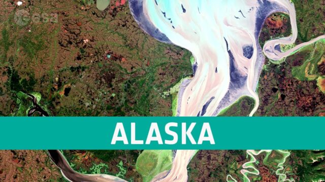
Earth from Space: Nushagak Bay, Alaska
0 Views0 Comments0 Likes
In this week’s edition of the Earth from Space program, the Copernicus Sentinel-2 mission takes us over the complex and diverse landscape that surrounds Nushagak Bay in Alaska. Credit: ESA - European Space Agency
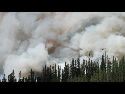
NASA Rainfall Data and Global Fire Weather
0 Views0 Comments0 Likes
The Global Fire WEather Database (GFWED) integrates different weather factors influencing the likelihood of a vegetation fire starting and spreading.
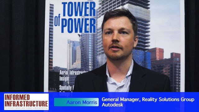
Autodesk and the Future of the Built Environment
0 Views0 Comments0 Likes
The V1 Video team interviewed Aaron Morris, General Manager of the Reality Solutions Group at Autodesk, at the 2016 SPAR 3D Expo and Conference, held April 11-14 in The Woodlands, Texas. He discusses several new developments at Autodesk, including the company's ReCap products and its new pricing model, new data services to make analysis easier, scan-to-mesh services for asset management, and how reality capture will replace existing methods of asset documentation.


