
Browse Archives
V1 Media News Broadcast Sponsorship
0 Views0 Comments0 Likes
This video describes the capabilities and benefits of sponsoring V1 Media video news broadcasts.
V1 Media Testimonials
0 Views0 Comments0 Likes
Watch this video to see what people are saying and writing about V1 Media and its expansion throughout the geospatial technology and infrastructure industries.
V1 Media Video Services
0 Views0 Comments0 Likes
This video describes V1 Media's professional and inexpensive video services and how they can help your business succeed. It provides samples of video interviews, product and service commercials, event recaps and promotions, project showcases, and more.

Valarm Interview at GeoDesign Summit
0 Views0 Comments0 Likes
Todd Danielson interviews a team from Valarm, including Lorenzo Gonzalez, CEO and Software Architect, and Edward Pultar, President and Spatial Scientist. They discuss the company's vision, its clients and how its software assimilates sensor information.
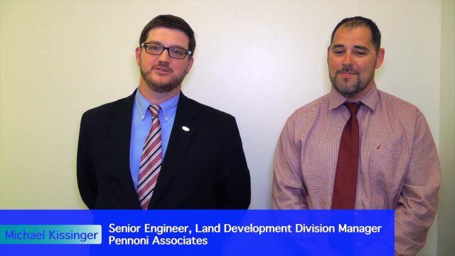
Value Engineering for Site Planning and Preparation
0 Views0 Comments0 Likes
Informed Infrastructure spoke with Michael Kissinger, senior engineer and Land Development Division Manager at Pennoni Associates, and Steve Lewis, single point of contact for Pennoni’s Bentley SITEOPS business. We touched on their creative use of the SITEOPS site-planning tool on a variety of projects to win and retain business.
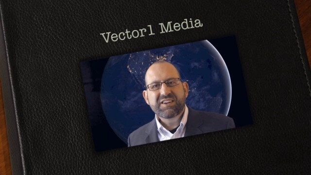
Vector1 Media Focuses on the Future with B2B Veterans and a Multimedia Roadmap
0 Views0 Comments0 Likes
Vector1 Media LLC welcomes new members Kevin Carmody and Patrick Krill, makes investments in our online platforms, including an AIA accredited continuing-education site that is coming soon, and extends the reach of multimedia throughout our different channels.
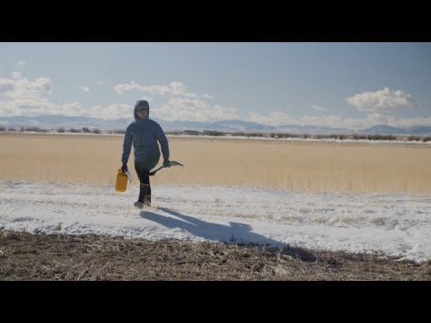
Video: Snow Scientists in the Windswept Montana Prairie
0 Views0 Comments0 Likes
NASA’s SnowEx ground and airborne campaign is a multiyear effort using a variety of techniques to study snow characteristics, and the team began their new field study year in January 2021.
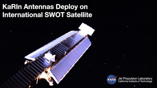
Watch the Latest Water Satellite Unfold Itself in Space
0 Views0 Comments0 Likes
Two cameras aboard the Surface Water and Ocean Topography (SWOT) satellite captured the large mast and antenna panels of the spacecraft’s main science instrument deploying over four days, a process that was completed ...
Weather Forecasts Will Remain Reliable, Even with Climate Change
0 Views0 Comments0 Likes
Anthony Lupo, professor of atmospheric science at MU, found that even as carbon dioxide levels create a warmer climate, experts will still be able to predict weather patterns accurately.
Weather Versus Climate Change
0 Views0 Comments0 Likes
Neil deGrasse Tyson breaks down the difference between weather and climate change.


