
Browse Archives

Thanksgiving Broadcast 11_25 (Science on a Sphere, JFK maps and video, nanosatellites and more)
0 Views0 Comments0 Likes
This Daily Digest from 11/25 covers topics such as Science on a Sphere, JFK memorial maps and video, U.S. Air Force launching 29 nanosatellites, Malaysian news and more.
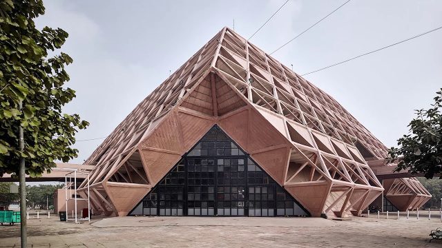
The 2018 World Monuments Watch
0 Views0 Comments0 Likes
Every two years, the World Monuments Watch issues a call to action for treasured cultural sites around the globe. Since 1996, when the Watch was founded with support from American Express, it has recognized 790 sites that face daunting threats or present compelling conservation opportunities, and it has catalyzed over $240 million of investment in their protection and conservation. The 2018 Watch brings attention to 25 sites facing diverse threats.
The Algorithm Marketplace
0 Views0 Comments0 Likes
The Algorithm Marketplace provides automated analysis of aerial data acquired by UAVs (Unmanned Aerial Vehicles). Using sophisticated algorithms, drone operators no longer need a background in geographic information system (GIS) or remote sensing to interpret their aerial data; instead, the marketplace provides an action-based report to improve management of assets.

The Bentley Mission and Tools to Get There
0 Views0 Comments0 Likes
The V1 Video team interviewed Bhupinder Singh at the 2015 Bentley Year in Infrastructure Conference in London in early November. Singh, senior vice president of products for Bentley Software, spoke about how Bentley solutions are geared to create better-performing assets, its engineering content-management platform and details about Bentley Connect.
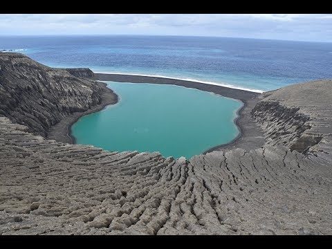
The Birth of a New Island
0 Views0 Comments0 Likes
The newly formed Tongan island, unofficially known as Hunga Tonga-Hunga Ha'apai after its neighbors, was initially projected to last a few months. Now it has a 6- to 30-year lease on life, according to a new NASA study.
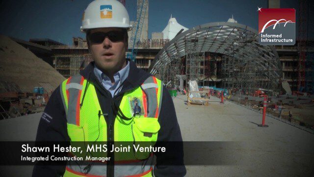
The Central Role of BIM for the Hotel and Transit Center Program at DIA
0 Views0 Comments0 Likes
The use of Building Information Modeling for the Hotel and Transit Center Program at Denver International Airport is leading a broader effort for a detailed airport-wide BIM model to inform the Facility Management system.
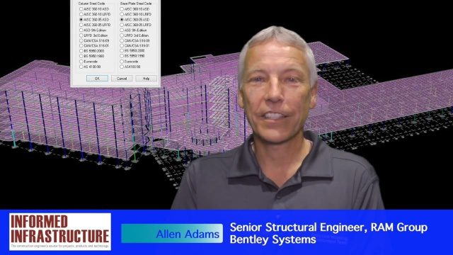
The Challenges and Benefits of Interoperability
0 Views0 Comments0 Likes
The V1 Video team interviewed Allen Adams, Senior Structural Engineer, RAM Group, Bentley Systems, at the 2016 NASCC: The Steel Conference, held April 13-15 in Orlando, Fla. He discusses the major challenges of interoperability in the infrastructure industry, Bentley Systems' approach to these difficulties, what it looks like when data isn't open to others within an organization, and how Bentley software saves its clients time and money.

The Coral Reef Economy Is Bigger Than You Think
0 Views0 Comments0 Likes
Did you know coral reefs pump more than $3.4 billion into the U.S. economy annually? Learn how healthy coral reef ecosystems do everything from supporting millions of jobs to protecting lives and coastal infrastructure--like hotels, roads and bridges.

The Farm Forum Event 2013: Matt Ball Interview
0 Views0 Comments0 Likes
Matt Ball is the founder and editor of Vector1 Media, with publications Sensors & Systems, Informed Infrastructure and Asian Surveying & Mapping. He has been promoting the application of sensors, systems, models and simulation for the better stewardship of our planet for the past 15 years. The first ten years of that span were as editor of GeoWorld magazine and show manager of the GeoTec Event, Canada's largest GIS conference.
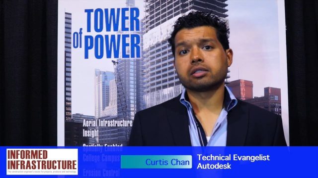
The Future of Making Things at Autodesk and Industrywide
0 Views0 Comments0 Likes
The V1 Video team interviewed Curtis Chan, Technical Evangelist at Autodesk, at the 2016 SPAR 3D Expo and Conference, held April 11-14 in The Woodlands, Texas. A keynote speaker at the event, he discusses "the future of making things" at Autodesk and through the industry; Autodesk's creative platforms such as Fusion, Spark and Forge; interesting use cases that have caught his attention; and how 3D printing can be scaled up into construction projects.


