
Browse Archives

4_22 GEOINT Broadcast (Keynote Highlights, Major News and Developments, and More)
3.82K Views0 Comments0 Likes
This GeoSpatial Stream broadcast from the GEOINT Symposium in Tampa, Fla., recaps the major highlights and news from the event, including keynote addresses from James R. Clapper, Director of National Intelligence; Letitia A. Long, Director, National Geospatial-Intelligence Agency; and Lt. Gen. Michael T. Flynn, U.S. Army, Director of the Defense Intelligence Agency. The broadcast also covers major news announcements from the U.S. Geospatial Intelligence Foundation, Boeing, Surrey Satellite Technology U.S., Airbus Defense & Space, and more.

4_2 Infrastructure Broadcast (Landsat and Flood Risk, Cloud-Based Tools, and More)
2.73K Views0 Comments0 Likes
This infrastructure-focused GeoSpatial Stream broadcast discusses how Landsat is helping with flood risk to infrastructure; North Carolina using cloud-based property data; a Regional Road Construction Map in Spokane; industry news from Columbia Pipeline Group, Synergis, Cityworks and Bentley Systems; surveying in the British Virgin Islands; the Technology of Walking; and more.

4_16 Drones/UAS Broadcast (Earth Day, Mysterious Methane and More)
3.97K Views0 Comments0 Likes
This GeoSpatial Stream broadcast discusses important FAA practices impacting drone/UAS use; an article that digs deeper into the many possible consequences of FAA's actions; a mysterious methane hotspot in the U.S. Four Corners area; industry news from Hexagon, Airbus Defence and Space, and SimActive; Earth Day; and more.

4_14 Infrastructure Broadcast (Transportation Asset Management, Water Infrastructure Needs, and More)
3.51K Views0 Comments0 Likes
This infrastructure-focused GeoSpatial Stream broadcast discusses Transportation Asset Management; a report on water infrastructure; designs to protect against hurricanes; public-transit ridership; historical map archives; private infrastructure funding; news from Bluesky and Bentley Systems; rainwater-capturing infrastructure in Rotterdam, The Netherlands; and more.
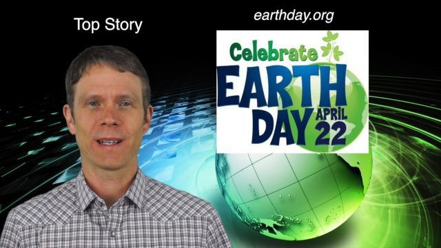
4_14 Earth Day Broadcast (Conservation, El Niño and More)
6.07K Views0 Comments0 Likes
This GeoSpatial Stream broadcast discusses the upcoming Earth Day on April 22nd and the many events that look to increase awareness of the environment and the technologies that can be used to protect it; a new mobile game called "Save the Park" that introduces children to national parks and environmental stewardship; the effect of El Niño events on marine plant life; industry news from AGI, Esri, Maptiks, East View Geospatial and PCI Geomatics; a video about the history of Earth Day and its impacts; and more.

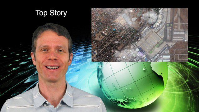
4_10 GEOINT Broadcast (Special Ops Data, New Weather Satellite, GPS III and More)
4.35K Views0 Comments0 Likes
This GeoSpatial Stream broadcast discusses geospatial intelligence, its legacy and the upcoming GEOINT Symposium; a recently launched U.S. military weather satellite; GPS III developments; industry news from Headwall, Thermopylae Sciences and Technology, Trimble, Esri, DigitalGlobe, and Riegl; and more.
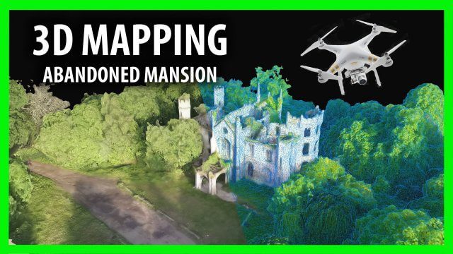
3D Drone Mapping of Scotland’s Cambusncethan Priory Mansion
1.45K Views0 Comments0 Likes
Abandoned Scotland created this video of a project to create 3D mapping from drones of the Cambusncethan Priory mansion. http://www.abandonedscotland.com
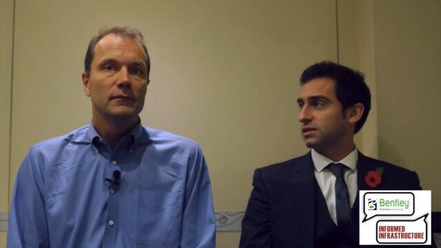
3D City Modeling Coming of Age through Innovation
3.01K Views0 Comments0 Likes
The V1 Video team interviewed Bob Mankowski and Aidan Mercer at the 2015 Bentley Year in Infrastructure Conference in London in early November. Mankowski is vice president of Bentley Software, and Mercer is senior marketing manager for Bentley Systems, and they discussed 3D city modeling, reality meshes, ContextCapture and their thoughts on the Year In Infrastructure 2015 event.

3_6 ILMF Broadcast (Conference Recap, USGS News, Aerial Imagery Market and More)
3.00K Views0 Comments0 Likes
This GeoSpatial Stream broadcast discusses the recent International LiDAR Mapping Forum, important USGS news, the future of the aerial imagery market, a map contest, and more.
3_5 Earth Imaging Broadcast (DigitalGlobe, LiDAR and More)
4.76K Views0 Comments0 Likes
This GeoSpatial Stream broadcast discusses the public release of 30-centimeter-resolution satellite imagery from DigitalGlobe and the company's partnership with the United Nations; the National Ecological Observation Network's new LiDAR data; an award for the Orion Space mission; industry news from exactEarth, Esri, Google, and the U.S. EPA and NOAA; a recap of the recent International LiDAR Mapping Forum in Denver; and more.


