
Browse Archives

Living History: The John Feathers Map Collection
2.43K Views0 Comments0 Likes
LAPL Map Librarian Glen Creason tells the tale of an amazing hidden map collection that doubled the library's archive in a single day. http://lareviewofbooks.org/av/
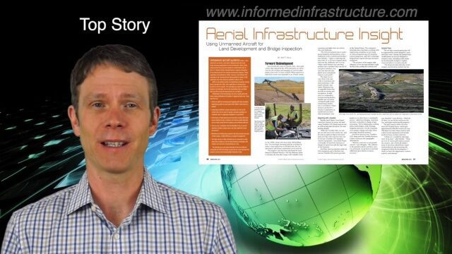
4_7 Infrastructure Broadcast (Drones, Funding and More)
2.42K Views0 Comments0 Likes
This Infrastructure-themed GeoSpatial Stream broadcast discusses how drone/UAS/UAV technology is being adopted in infrastructure projects worldwide; state transportation funding; the development of transparent wood; industry news from CINTEC, Trimble, IMAGINiT, SmarterBetterCities and Siteco; a video from the Construction Climate Talks series; and more.
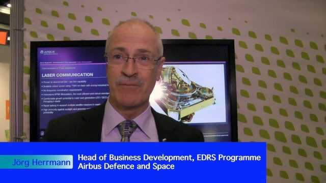
Airbus Defence and Space Brings Laser Communications to Earth Observation
2.42K Views0 Comments0 Likes
Earth Imaging Journal spoke with Jörg Herrmann, head of business development for the EDRS SpaceDataHighway Programme at Airbus Defence and Space, at the recent International Space Symposium. This laser-based data-relay system provides high-speed, near-real-time data transfer for Low Earth Orbit (LEO) satellites and airborne (unmanned/manned) platforms (UAS).

5_12 Infrastructure Broadcast (Earthquakes, Streetcars and More)
2.41K Views0 Comments0 Likes
This Infrastructure-themed GeoSpatial Stream broadcast covers the devastating earthquake in Ecuador on April 16, 2016, and relief efforts from Miyamoto International to help rebuild the city's hard-hit infrastructure; a recently opened $100-million-dollar streetcar project in Kansas City; industry news from Trimble, Bentley Systems, Transoft Solutions and Autodesk; a video interview clip about Chicago's famed 150 N. Riverside Building; and more.

Airbus Defence and Space Launches WorldDEM DTM
2.41K Views0 Comments0 Likes
Airbus Defence and Space released its global elevation model that was captured by the twin TerraSAR-X and TanDEM-X radar satellites in 2014 and now is producing Digital Terrain Models based on this dataset. The 12-meter-resolution pole-to-pole elevation data are a major improvement upon the commonly used 30-meter USGS SRTM data. Earth Imaging Journal spoke with Gertrud Riegler, WorldDEM Product Manager, Airbus Defence and Space, at the International Space Symposium about this new dataset and its many uses.
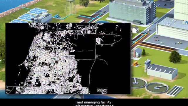
AECO Software to Manage the Urban Water Infrastructure Lifecycle
2.38K Views0 Comments0 Likes
Utilities and their consultants around the world rely on Bentley’s water solution to deliver intelligent infrastructure, ultimately providing clean water and managing sewerage and storm runoff. What architectural, engineering, construction, and operations (AECO) professionals can learn: • Maintain a centralized asset repository and manage facility information with Bentley’s integrated water and geospatial products • Model, analyze, and design water and wastewater pipe networks, using Bentley’s easy-to-use hydraulics and hydrology software • Design and build water and wastewater treatment plants in a fully-managed, collaborative team environment, using Bentley’s plant, structural, and building applications.
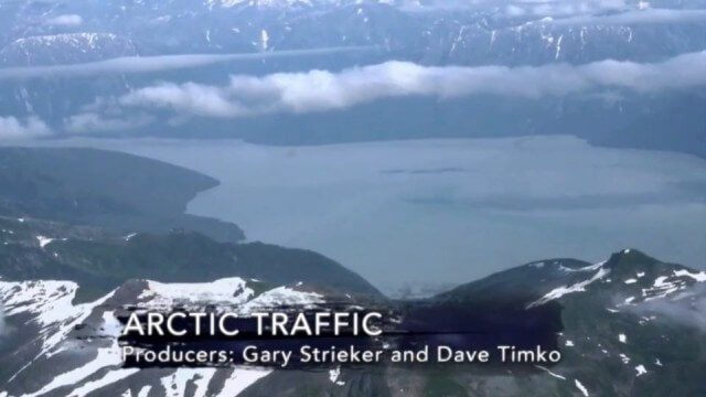
Arctic Traffic
2.37K Views0 Comments0 Likes
As climate change melts sea ice and opens the Arctic Ocean to more shipping and oil exploration, marine mammals and native people in small boats are at risk. Watch this video from This American Land and then read a related article from Earth Imaging Journal at http://eijournal.com/print/articles/monitoring-polar-changes-scientists-deploy-many-tools-to-measure-sea-ice-thickness to learn more on this topic.
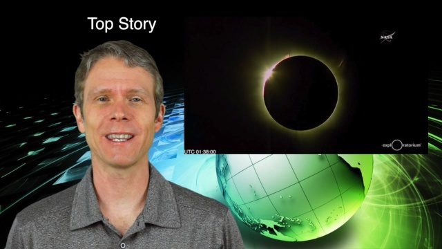
3_10 Asia Pacific Broadcast (Solar Eclipse, Groundwater Monitoring and More)
2.36K Views0 Comments0 Likes
This Asia-Pacific-themed GeoSpatial Stream broadcast discusses the recent solar eclipse across Indonesia and Micronesia; Japanese Universities collaborating to help build The Philippines' first microsatellite; satellite data monitoring groundwater in Pakistan; Tropical Cyclone Winston observed over Fiji; industry news from Baidu, IndoorAtlas, Yahoo! Japan, Supergeo, and German and Japanese space agencies; a video showing the excitement of a full solar eclipse; and more.
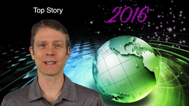
1_7 New Year Broadcast (Predictions for 2016, Weather Monitoring and More)
2.35K Views0 Comments0 Likes
This GeoSpatial Stream broadcast discusses the New Year and an article from Sensors & Systems making 10 predictions for 2016; NASA satellites tracking deadly weather in December 2015; ESA ice-sheet monitoring; industry news from Esri, USGS, VisionMap and Earth-i; thoughts on iconic images captured from space and their perspectives; and more.
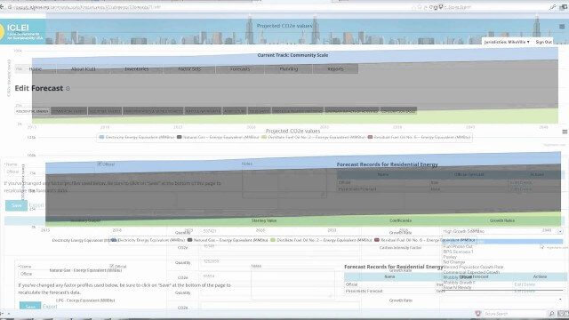
ClearPath Emissions-Management Software
2.33K Views0 Comments0 Likes
ClearPath is the next generation of ICLEI's online software suite for local governments managing energy, resources, and GHG emissions. ClearPath offers a powerful and integrated cloud-based platform that allows you to visualize your current and future emissions, and easily carry out sophisticated analysis to determine the right mix of policies to meet your emissions reduction goals.


