
Browse Archives

Delivering Very-High-Resolution Imagery for Densely Populated Areas
0 Views0 Comments0 Likes
The V1 Video team interviewed Paul Peterson, senior vice president, Product & Engineering, nearmap, at the 2015 Esri User Conference in San Diego. The aerial imagery and visual analytics company provides timely, high-resolution and historic imagery that they recently imported to the United States from Australia. The unique sensing capacity and frequent revisits of major cities is accompanied by online analysis tools.

Denver Marks Third Stop of Topcon Roadshow
0 Views0 Comments0 Likes
Topcon takes their technology on the road with a mobile theater and technology showcase, coupled with field demonstrations. The free event hits 24 North American cities from early May through October. The event is aimed at the construction, survey, civil engineering, architecture and design industries. This short video summary recaps the May 2 tour stop in Denver, hosted by local dealer partner GeoShack.
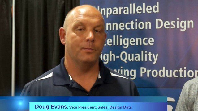
Design Data Adds Intelligence to Crane Modeling
0 Views0 Comments0 Likes
Todd Danielson interviews Doug Evans, Vice President, Sales, Design Data, at the HxGN LIVE event in Las Vegas, Nevada. They discuss sharing models with Intergraph software for production and manufacturing, its new SDS/2 Erector product that adds intelligence to crane modeling and building, and more.
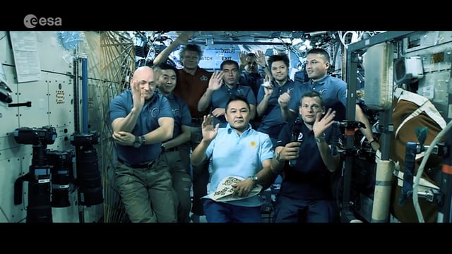
Destination Low Earth Orbit
0 Views0 Comments0 Likes
ESA astronaut Andreas Mogensen narrates this video on the inspiring endeavours of human spaceflight and how it changes our daily lives.
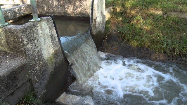
Digital Delta transforms Dutch water system using Big Data
0 Views0 Comments0 Likes
This video introduces IBM Smarter Water Management solutions running on IBM Intelligent Water software to address Flood and Natural Resource Management. This solution provides the Dutch Water authorities a breakthrough innovation program to harness insights from Big Data and transform flood control and management of the entire Dutch water system.
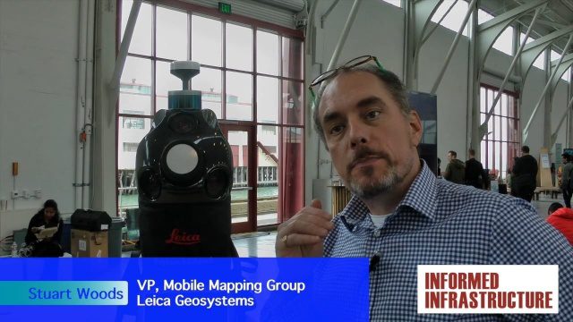
Digital Surveying Improves with Mobility and Multiple Sensors
0 Views0 Comments0 Likes
The V1 Video team interviewed Stuart Woods, VP, Mobile Mapping Group, Leica Geospatial, at the REAL 2016 event in San Francisco. He discussed the future of digital surveying, increased mobility in a variety of technologies, how multiple sensors help get the job done, and the company's new Pegasus Backpack product.
DigitalGlobe’s Seeing a Better World Program Focuses on Outcomes
0 Views0 Comments0 Likes
DigitalGlobe has expanded upon its theme of "Seeing a Better World," with a new program that focuses on themes aligned to the United Nations sustainable development objectives. Speaking with V1 Media, Taner Kodanaz, Director of DigitalGlobe's Seeing a Better World Program, describes how the company is leveraging its own imagery to provide greater context and outcome-oriented solutions around food and nutrition security, infrastructure development, sustainability, and human rights.
Discovering Earth’s Third Global Energy Field
0 Views0 Comments0 Likes
High above the Earth’s North and South Poles, a steady stream of particles escapes from our atmosphere into space. Scientists call this mysterious outflow the “polar wind,” and for almost 60 years, spacecraft have bee...
Dominique Pouliquen Interview (Autodesk)
0 Views0 Comments0 Likes
Matt Ball interviews Dominique Pouliquen, Director of Market Development, IPG/Reality Solutions, Autodesk, at SPAR International in Colorado Springs, Colo. They discuss reality computing, the scanning workflow, ReCap Connect, the new RCS format for point clouds, how plug-ins and Web APIs can help customers, and more.

Doug Smith Interview (Avenza Systems)
0 Views0 Comments0 Likes
Todd Danielson interviews Doug Smith, Director, Sales & Marketing, Avenza Systems, at the GEOINT Symposium in Tampa, Florida. They discuss Avenza's key products, including MAPublisher, Geographic Imager and its new PDF Maps app. All the products work with Adobe products for increased design functionality while maintaing location integrity.


