
Browse Archives
Dr. Joachim Rix – INTERGEO Opinion Leader Talk
0 Views0 Comments0 Likes
Dr. Joachim Rix, Competence Center Spatial Information Management at Fraunhofer IGD, speaks about the project “Smarticipiate” and his congress block at INTERGEO in Hamburg.
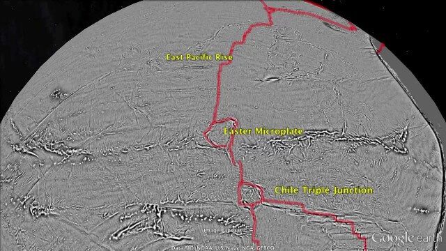
Draining the Ocean Basins with CryoSat-2
0 Views0 Comments0 Likes
This is the supplementary video for the scientific article "New global marine gravity model from CryoSat-2 and Jason-1 reveals buried tectonic structure". The full paper is available at: sciencemag.org/content/346/6205/65
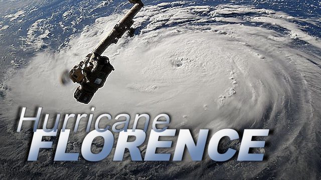
Dramatic Views of Hurricane Florence
0 Views0 Comments0 Likes
Cameras outside the International Space Station captured dramatic views of rapidly strengthening Hurricane Florence at 8:10 a.m. EDT Sept. 10 as it moved in a westerly direction across the Atlantic, headed for a likely landfall along the eastern seaboard of the U.S. late Thursday or early Friday.
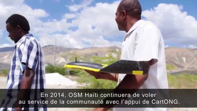
Drone Mapping Haiti (French)
0 Views0 Comments0 Likes
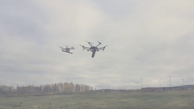
Drone With Ground Penetrating Radar (GPR)
0 Views0 Comments0 Likes
SPH Engineering and Radarteam Sweden AB completed combined tests of a drone equipped with ground-penetrating radar (GPR).
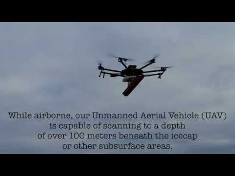
Drone with Ground Penetrating Radar (GPR)
0 Views0 Comments0 Likes
GPR Drone technology can be used in areas where deep ground penetration is required but high resolution is not very important.
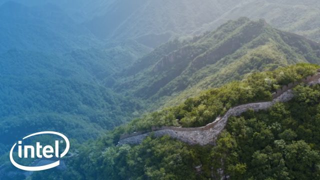
Drones and AI to Preserve the Great Wall of China
0 Views0 Comments0 Likes
A team sets out on a mission to preserve one of the most iconic landmarks on Earth: the Great Wall of China. Follow their expedition as they reimagine preservation work on this monument with new tools: Intel Drones and Al.
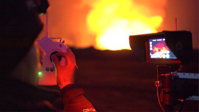
Drones Capture Images of Erupting Iceland Volcano, Part 1
0 Views0 Comments0 Likes
DJI's first video in a series called "DJI Feats" takes you to the remote wilderness of an erupting Icelandic volcano, where Phantom 2 quadcopters are used to capture viewpoints of an exploding magma caldera too dangerous to be approached by manned aircraft.
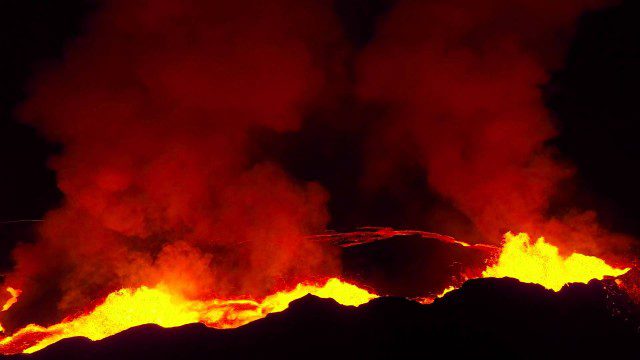
Drones Capture Images of Erupting Iceland Volcano, Part 2
0 Views0 Comments0 Likes
A companion piece to the first DJI Feat, which takes viewers on a journey close to the active lava eruptions of the Bardarbunga volcanic system in remote Iceland. Footage was captured with DJI Phantom 2 quadcopters using Lightbridge for wireless, high-definition remote video.
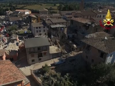
Drones Capture Italy’s Earthquake Scene
0 Views0 Comments0 Likes
Italian Prime Minister Matteo Renzi visited the site of an earthquake in Italy on Wednesday and pledged government support for the the affected area. Drone footage showed damage to buildings, some of which were completely reduced to rubble. (Aug. 24)


