Browse Archives
Arctic Greening Driven By Warmer Temperatures
0 Views0 Comments0 Likes
Using Landsat satellite data to track global tundra ecosystems over decades, a new study found the region has become greener, as warmer air and soil temperatures lead to increased plant growth.
Arctic Report Card 2018
0 Views0 Comments0 Likes
Arctic Report Card: Update for 2018 - Tracking recent environmental changes, with 14 essays prepared by an international team of 81 scientists from 12 different countries and an independent peer-review organized by th...
Arctic Sea Ice Hits Annual Minimum, Antarctic Sets New Record
0 Views0 Comments0 Likes
Arctic sea ice likely reached its annual minimum extent on Sept. 19, 2023, making it the sixth-lowest year in the satellite record, according to researchers at NASA and the National Snow and Ice Data Center (NSIDC). M...
Arctic Sea Ice Near Historic Low; Antarctic Ice Continues Decline
0 Views0 Comments0 Likes
This summer, Arctic sea ice decreased to a its minimum extent on Sept. 11, 2024. According to the National Snow and Ice Data Center this is the 7th lowest in the satellite record. The decline continues the long-term t...
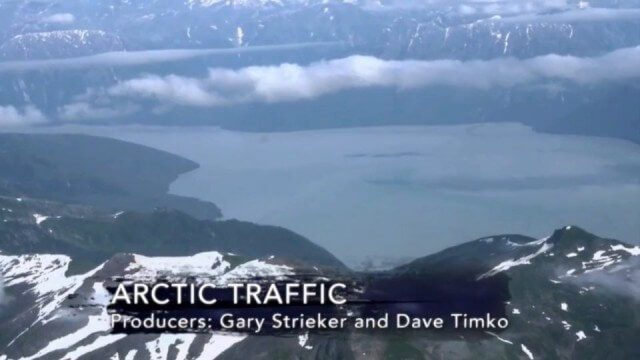
Arctic Traffic
0 Views0 Comments0 Likes
As climate change melts sea ice and opens the Arctic Ocean to more shipping and oil exploration, marine mammals and native people in small boats are at risk. Watch this video from This American Land and then read a related article from Earth Imaging Journal at http://eijournal.com/print/articles/monitoring-polar-changes-scientists-deploy-many-tools-to-measure-sea-ice-thickness to learn more on this topic.
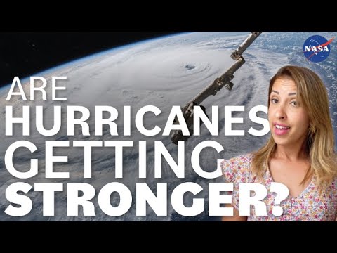
Are Hurricanes Getting Stronger? We Asked a NASA Scientist
0 Views0 Comments0 Likes
Are hurricanes getting stronger? Although we’ll never see a Category 6 hurricane, data does show that more hurricanes are becoming more severe. Hurricane and climate expert Mara Cordero-Fuentes of NASA's Goddard Space...
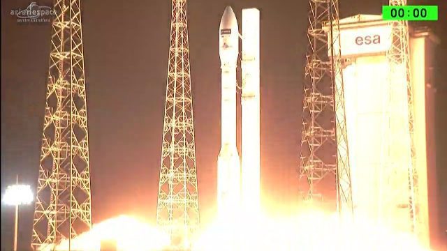
Arianespace Successfully Launches Sentinel-2B
0 Views0 Comments0 Likes
Arianespace has successfully launched the Sentinel-2B satellite for the European Commission within the scope of a contract with the European Space Agency (ESA).
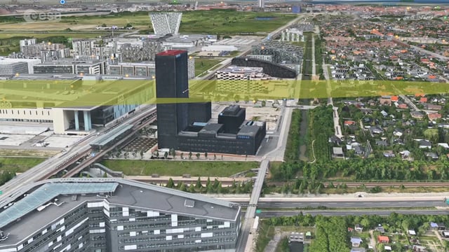
Ascend – Obstacle management solution
0 Views0 Comments0 Likes
Ascend XYZ in Denmark has developed a service to help airports to comply with airside safety regulations. The service uses satellites and aircraft combined with smart web-based software to record and monitor potential obstacles that encroach on restricted zones at airports and therefore pose a risk to flight safety. This project was supported within ESA's ARTES Applications programme.
Asia-Pacific Broadcast (Remote-Sensing Satellites, East Asia Agreements, Greenhouse Mapping and More)
0 Views1 Comments0 Likes
This GeoSpatial Stream focuses on the Asia-Pacific region. Topics covered include China's failed CBERS-3 remote-sensing satellite, a joint agreement to monitor air pollution, Greenhouse mapping in India, precision agriculture in Australia and more.
ASPECT: Flying for First Responders
0 Views0 Comments0 Likes
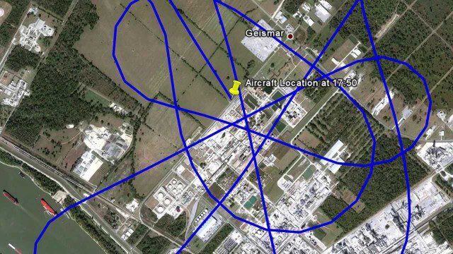
EPA's Airborne Spectral Photometric Environmental Collection Technology (ASPECT) provides infrared and photographic images with geospatial, chemical and radiological information within minutes to the first responder.

