


Category: Found on the Internet
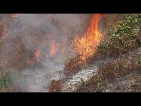
NASA and NOAA Take to the Air to Chase Smoke
0 Views0 Comments0 Likes
NASA, NOAA and university partners are taking to the skies, and the ground, to chase smoke from fires burning across the United States.
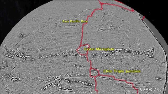
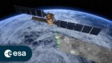
Draining the Ocean Basins with CryoSat-2
0 Views0 Comments0 Likes
This is the supplementary video for the scientific article "New global marine gravity model from CryoSat-2 and Jason-1 reveals buried tectonic structure". The full paper is available at: sciencemag.org/content/346/6205/65
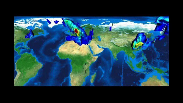
FFDAS Carbon Dioxide Emissions
0 Views0 Comments0 Likes
This video provides an overview of the Fossil Fuel Data Assimilation System (FFDAS). This system quantifies fossil fuel CO2 emissions for the whole planet at 10 km every hour for the 1997 to 2011 time period. We show both the fluxes of FFCO2 leaving the planet's surface and the realization of those fluxes in the atmosphere using an atmospheric transport simulation.
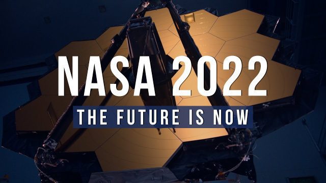
NASA 2022: The Future is Now
0 Views0 Comments0 Likes
Receiving the first images from the James Webb Space Telescope, sending the first uncrewed Artemis mission around the Moon and back to Earth, sending NASA science and technology to the surface of the Moon on three mi...
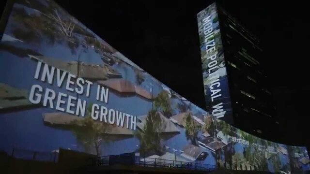
illUmiNations: Protecting our Planet
0 Views0 Comments0 Likes
United Nations General Assembly and Secretariat buildings lit up on Saturday night in a revolutionary call for climate action in connection with the Secretary-General's climate Summit. #climate2014. "illUmiNations: Protecting Our Planet" was collaboratively designed and produced for UNDPI by the Oceanic Preservation Society, Obscura Digital and Insurgent Media.
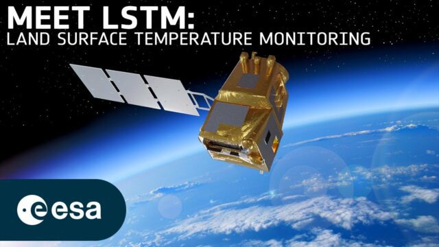
Taking Earth’s Temperature from Space
0 Views0 Comments0 Likes
Climate change exacerbates droughts by making them more frequent, longer, and more severe. This can have a wide range of impacts on the environment, agriculture, ecosystems and communities including water scarcity, cr...
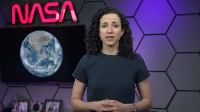
Air Quality in Washington, D.C.
0 Views0 Comments0 Likes
A video production for NASA's Earth Information Center about air quality in Washington, D.C. Air pollution in DC has declined by 50% in the last two decades. NASA uses sensors aboard satellites and aircraft to obta...
Planet Earth 100 Million Years In The Future – What will happen to our world?
0 Views0 Comments0 Likes
Planet Earth 100 Million Years In The Future - What will happen to our world? This is an HD documentary from WORLD GEOGRAPHIC CHANNEL.
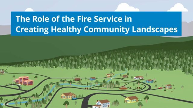
The Role of the Fire Service in Creating Healthy Community Landscapes
0 Views0 Comments0 Likes
The Wildland-Urban Interface is the zone of transition between unoccupied land and human development. It is the line, area, or zone where structures and other human develop meet or intermingle with undeveloped wildlan...
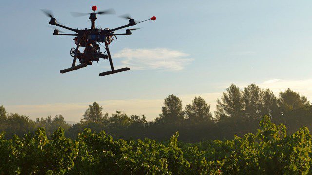
Drones for Good (HP)
0 Views0 Comments0 Likes
Most people associate drones with the military - an invasive eagle eye hovering from above. What many people don't realize, however, is the tremendous good drones can do. Information from drones can be used for valuable data collection, telling us things we can't see from the ground and helping countries and communities after natural disasters. A drone can spot structural damage, road blocks, and even save human lives. To learn more about using drones for social good and how technology is revolutionizing all means of transportation.


