


Category: Found on the Internet
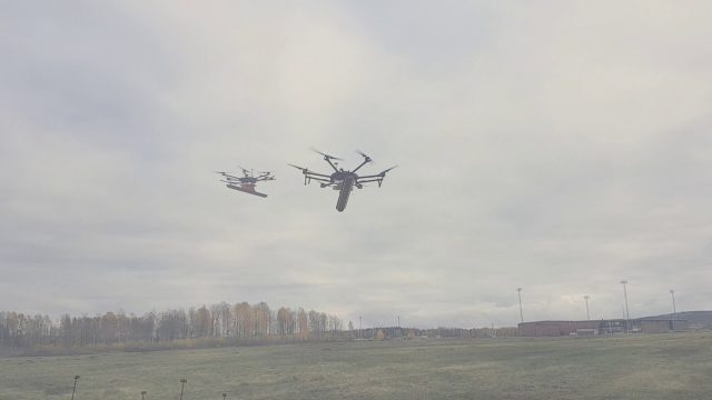
Drone With Ground Penetrating Radar (GPR)
0 Views0 Comments0 Likes
SPH Engineering and Radarteam Sweden AB completed combined tests of a drone equipped with ground-penetrating radar (GPR).
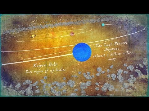
Where Is the Edge of the Solar System?
0 Views0 Comments0 Likes
Where does the solar system end? It all depends on the criteria you are using.

“National Geographic” Time Scanners Jerusalem
0 Views0 Comments0 Likes
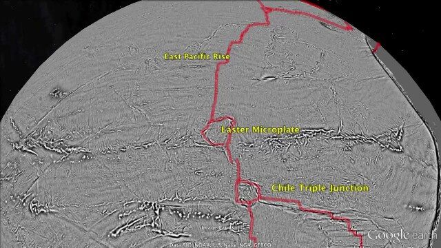
Draining the Ocean Basins with CryoSat-2
0 Views0 Comments0 Likes
This is the supplementary video for the scientific article "New global marine gravity model from CryoSat-2 and Jason-1 reveals buried tectonic structure". The full paper is available at: sciencemag.org/content/346/6205/65
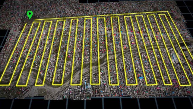
UAV-Based Aerial Mapping of Ulaanbaatar
0 Views0 Comments0 Likes
Working with the City of Ulaanbaatar, The Asia Foundation collected high-quality imagery and elevation data for the city using Unmanned Aerial Vehicles (UAVs) and earth-imaging satellites. These high-resolution images were used to create detailed maps complete with elevation data; labeled neighborhoods, roads, buildings, landmarks, and other features.
Tracking California Rains During El Niño
0 Views0 Comments0 Likes
This winter, areas across the globe experienced a shift in rain patterns due to the natural weather phenomenon known as El Niño. New NASA visualizations of rainfall data show the various changes to California. According to the National Oceanic and Atmospheric Administration, El Niño was expected to produce wetter-than-average conditions from December 2015 to February 2016. Scientists refer to historical weather patterns and to look at trends of where precipitation normally occurs during El Niño events. Also, several factors—not just El Niño—can contribute to unusual weather pattern.
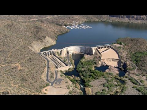
NASA Satellite Measures Human Impact in Water Storage
0 Views0 Comments0 Likes
To investigate humans’ impact on freshwater resources, scientists have now conducted the first global accounting of fluctuating water levels in Earth’s lakes and reservoirs–including ones previously too small to measu...
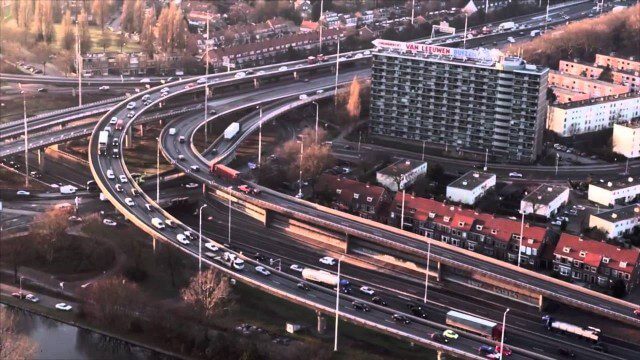
PortMaps – Kaarten en Havenbedrijf Rotterdam
0 Views0 Comments0 Likes
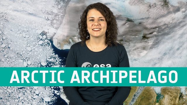
Earth from Space: Canadian Arctic Archipelago
0 Views0 Comments0 Likes
The Copernicus Sentinel-3 mission takes us over part of the Canadian Arctic Archipelago, in this week's edition of the Earth from Space program.
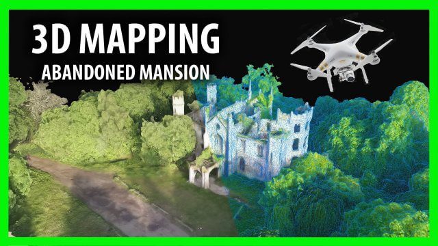
3D Drone Mapping of Scotland’s Cambusncethan Priory Mansion
0 Views0 Comments0 Likes
Abandoned Scotland created this video of a project to create 3D mapping from drones of the Cambusncethan Priory mansion. http://www.abandonedscotland.com


