Category: Found on the Internet
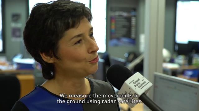
Satellite Monitoring of Grand Paris Express
0 Views0 Comments0 Likes
The Grand Paris Express is an unprecedented urban development project centred on a major expansion of the existing public transport network for the whole Paris metropolitan area.
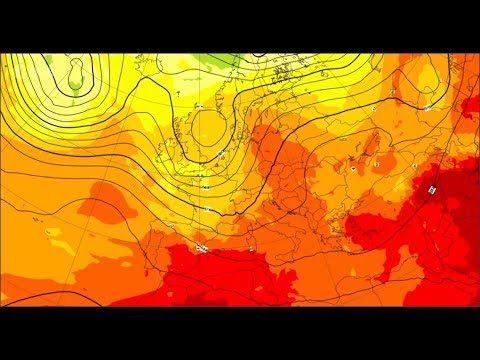
MetOp: The Power of Three
0 Views0 Comments0 Likes
With MetOp-C, the mission continues as a three-satellite constellation, increasing the wealth of data for weather forecasting.
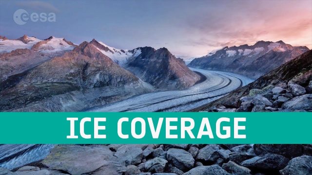
Ice Coverage: The Global Thaw
0 Views0 Comments0 Likes
One of the casualties of climate change is the diminishing ice cover, affecting our planet in a number of ways. ESA’s satellites observe the planet’s cryosphere and provide key information to understand and respond to global thawing.
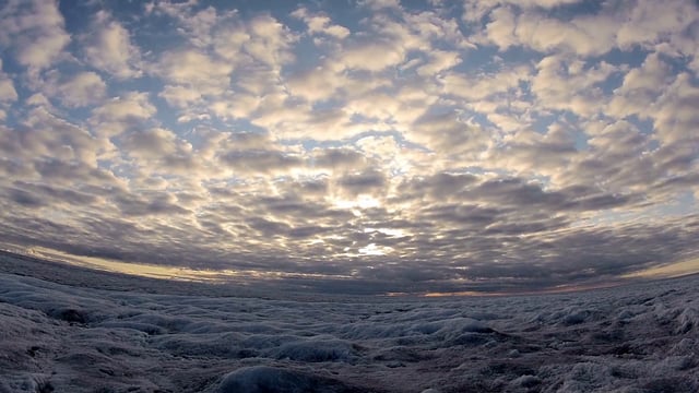
SWIPA 2017: Snow, Water, Ice and Permafrost in the Arctic
0 Views0 Comments0 Likes
A video summarizes information products and materials presenting the results of the 2017 Snow, Water, Ice and Permafrost in the Arctic (SWIPA) assessment coordinated by the Arctic Monitoring and Assessment Programme (AMAP).
How DARPA Is Planning Fast, Cheap Satellite Launches
0 Views0 Comments0 Likes
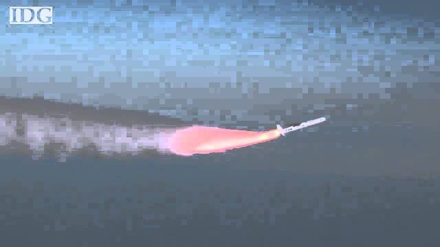
Called the Airborne Launch Assist Space Access or ALASA program, it would be able to send satellites weighing 100 pounds or less into low-Earth orbit within 24 hours for less than $1 million per launch.
From Above – Astronaut Photography with Don Pettit
0 Views0 Comments0 Likes
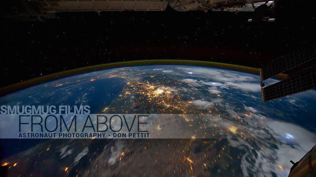
You've never seen space like this. This short film gives an inside look at how NASA Astronaut Don Pettit captures breathtaking images of Earth's most famous phenomena - aurora, star trails, city lights, and more - from the inside the International Space Station.
NASA Satellite Measures Human Impact in Water Storage
0 Views0 Comments0 Likes
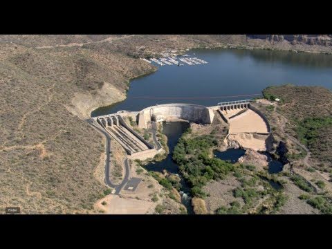
To investigate humans’ impact on freshwater resources, scientists have now conducted the first global accounting of fluctuating water levels in Earth’s lakes and reservoirs–including ones previously too small to measu...
Understanding GIS – An Overview
0 Views0 Comments0 Likes
Geographic Information Systems are used by professionals and academics all over the world to investigate problems ranging from the spread of disease to the damage caused by hurricanes. Learn more about the University of Michigan-Flint's GIS Certificate by visiting umflint.edu/gis/gis-center
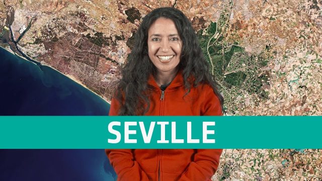
Earth from Space: Seville
0 Views0 Comments0 Likes
The Copernicus Sentinel-2 mission takes us over Seville in southern Spain, where ESA's next Ministerial Council will soon take place, in this week's edition of the Earth from Space program.
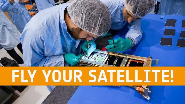
Fly Your Satellite!
0 Views0 Comments0 Likes
Fly Your Satellite! is an educational program for university students, created by ESA after the launch of seven university CubeSats on the 2012 Vega maiden flight.


