


Category: Found on the Internet
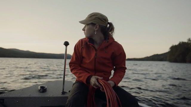
Jefferson Project Year Five
0 Views0 Comments0 Likes
The Jefferson Project is a sophisticated technological approach to studying fresh water, with a goal of understanding the impact of human activity on fresh water, and how to mitigate those effects.
Helping Businesses and Communities Better Cope with Extreme Weather
0 Views0 Comments0 Likes
The U.S. Department of Energy's Argonne National Laboratory is helping organizations – including AT&T – and communities better prepare for and adapt to the impacts of climate change and extreme weather events.
Earth from Space: Egyptian Crop Circles
0 Views0 Comments0 Likes
In this week's edition of the Earth from Space programme, we take a look at the agricultural development in the Western Desert of Egypt.

Air Quality: What’s Space Got to Do with It?
0 Views0 Comments0 Likes
Governments and decision-makers rely heavily on satellite data and computer models to show how pollution accumulates and how it is carried in the air so that they can develop appropriate mitigation strategies.
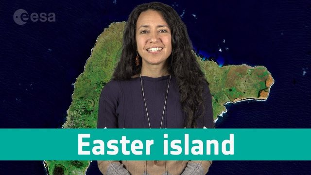
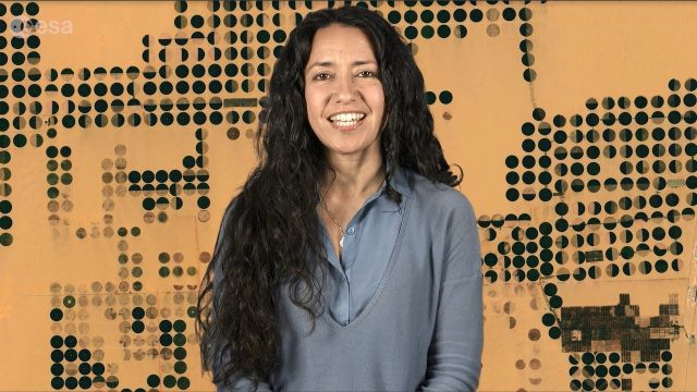
Earth from Space: Easter Island
0 Views0 Comments0 Likes
In this week's edition of the Earth from Space programme, Copernicus Sentinel-2 takes us over one of the most remote islands in the world: Easter Island.
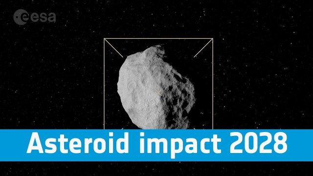
Asteroid Impact 2028: Protecting Our Planet
0 Views0 Comments0 Likes
Find out more about how we are preparing to protect our pale blue dot, its inhabitants and the vital satellite systems on which we have become so dependent.
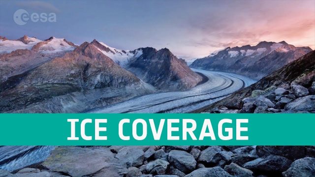
Ice Coverage: The Global Thaw
0 Views0 Comments0 Likes
One of the casualties of climate change is the diminishing ice cover, affecting our planet in a number of ways. ESA’s satellites observe the planet’s cryosphere and provide key information to understand and respond to global thawing.
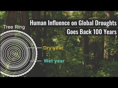
Human Influence on Global Droughts Goes Back 100 Years
0 Views0 Comments0 Likes
Human-generated greenhouse gases and atmospheric particles were affecting global drought risk as far back as the early 20th century, according to a study from NASA's Goddard Institute for Space Studies (GISS) in New York City.
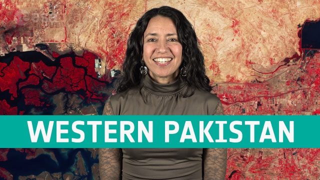
Earth from Space: Western Pakistan
0 Views0 Comments0 Likes
In this week's edition of the Earth from Space program, Copernicus Sentinel-2 takes us over western Pakistan and an important wetland area.
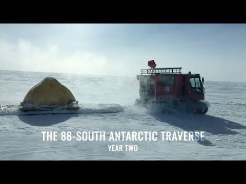
88-South Antarctic Traverse: Year Two
0 Views0 Comments0 Likes
The 470-mile expedition in one of the most barren landscapes on Earth provides the best means of assessment of the accuracy of data collected from space by the Ice Cloud and land Elevation Satellite-2 (ICESat-2).


